
Image
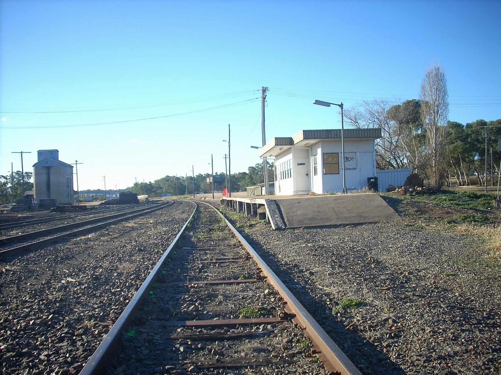
Roads nearby
Barwon Street700 m
Purlewaugh Road800 m
Ulamambri StreetUlamambri Memorial Hall
850 m
Short Street900 m
Morven Street1,1 km
Gora Street1,2 km
Ulinda Street1,4 km
South StreetUrabrible Rural Fire Brigade, Ulamambri
1,4 km
North Street1,4 km
Rundle Street1,5 km
East Street1,7 km
River Road3,4 km
Box Ridge Road3,6 km
Toorawandi Road5,4 km
Avonwood AccessAvonwood
5,6 km
Merryula Road6,3 km
Mirii Lane6,7 km
Newell HighwayAmber Court Motor Inn, Castlereagh Village, Safe-T-Cam, The Coachman's Rest Motor Lodge, Matthew Flinders Motor Inn, Wagon Wheel Motel, Country Gardens Motel, Gowan Rest Area Northbound, Gowan Rest Area Southbound, Camkeena Rest Area, Solar System Drive - Saturn, Dogtrap Gully Rest Area Westbound, Belah Hill Rest Area Eastbound, Coonabarabran Visitors Centre, Newell Hwy
7,9 km
Warrumbungles WaySaturn - Solar System Drive
8,4 km
Hynds Road8,8 km
Harveys Lane9,3 km
Darouble Road9,3 km
Disused railways nearby
Gwabegar Line6,0 km
Rivers nearby
Baby Creek1,4 km
Castlereagh River3,1 km
TerrawindaCreek7,5 km
Streams nearby
Billy Kings Creek8,4 km
Merryula Creek8,9 km
| Length | 431.7 |
|---|---|
| Country | Australia |
Public transport map Ulamambri Legend
| Railway | |
| Bus | |
| Tram |
Cycling map Ulamambri Legend
| Cycle path | |
| Cycle lane on road | |
| Cycling on bus lane | |
| Bicycle street | |
| Cyclists allowed | |
| Cyclists allowed, good surface | |
| No cycling | |
| Cobblestones |
| Long-distance cycle route | (depending on scale) | |
| Long-distance cycle route |
Walking map Ulamambri Legend
| Path |
| Long-distance hiking trail | (depending on scale) | |
| Long-distance hiking trail | ||
| No pedestrians |