
Tiger Brennan Drive in Bayview
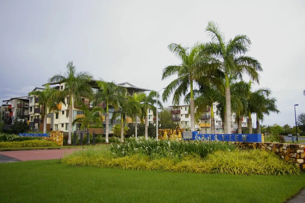
Tiger Brennan Drive in City of Darwin is an asphalted main road (80 km/h). It runs in a northeast-southwest direction and crosses Dinah Beach Road, Gothenburg Crescent, Ji Niem Road and Benison Road. It ends in a cul-de-sac and connects Bayview and Stuart Park. This road is part of the long-distance road "A15".
- Road Type
- main road
- Speed Limit
- 80
- Route
- northeast-southwest
Image
Bus stops
Roads nearby
Ah Mat Street200 m
Hazelbane Place200 m
Dew Place250 m
Bermingham Crescent250 m
Laidlaw Court250 m
Sariago Court250 m
Villaflor Crescent250 m
Chong Wee Avenue300 m
Jolly StreetDarwin Recycling
300 m
Inverell Court350 m
Kupang Court400 m
Michie Court400 m
Trochus Crescent450 m
Bradhurst Court450 m
Brewery Place450 m
Bishop StreetPC Mart, Carcom Installations
500 m
Stoddart DriveBayview (534), Stoddart Drive (596), Stoddart Drive (813)
500 m
McMaster Crescent500 m
Manila Place500 m
Tiger Brennan Drive Shared Path500 m
Kelat Court500 m
Damaso Place500 m
Stuart HighwayWoolner Road (173), Parap Rd (106), Ross Smith Avenue (107), Parap Road - Stuart Highway (174)
500 m
Muzzell Street550 m
Fanning Drive550 m
May Street550 m
Ross Smith AvenueParap Pool (243)
550 m
Camilla Place550 m
Gunbar Street600 m
Access Road600 m
Karangi Street600 m
Woolner Road600 m
North Australia Rail Trail600 m
Woolner Road Temp Road650 m
Bayview BoulevardHalf Moon Park (533), Bayview Shops (811), Bayview
650 m
Castlemaine Close700 m
Iliffe Street750 m
Flinders Drive950 m
Abandoned railways nearby
Narrow gauge North Australia Railway (dismantled)750 m
Industrial areas nearby
NT Fleet and Territory Transit800 m
Parks nearby
Brian Chong Wee Park250 m
Bayview Park450 m
Stoddart Park450 m
Ginty Mcginness Park550 m
Seascapes Park550 m
Half Moon Park750 m
Petrol stations nearby
United600 m
Places of worship nearby
Darwin Baptist Church550 m
Streams nearby
Sadgroves Creek700 m
 Public transport map Bayview Legend
| Railway | |
| Bus | |
| Tram |
 Cycling map Bayview Legend
| Cycle path | |
| Cycle lane on road | |
| Cycling on bus lane | |
| Bicycle street | |
| Cyclists allowed | |
| Cyclists allowed, good surface | |
| No cycling | |
| Cobblestones |
| Long-distance cycle route | (depending on scale) | |
| Long-distance cycle route |
 Walking map Bayview Legend
| Path |
| Long-distance hiking trail | (depending on scale) | |
| Long-distance hiking trail | ||
| No pedestrians |