
Old Belair Road in Mitcham
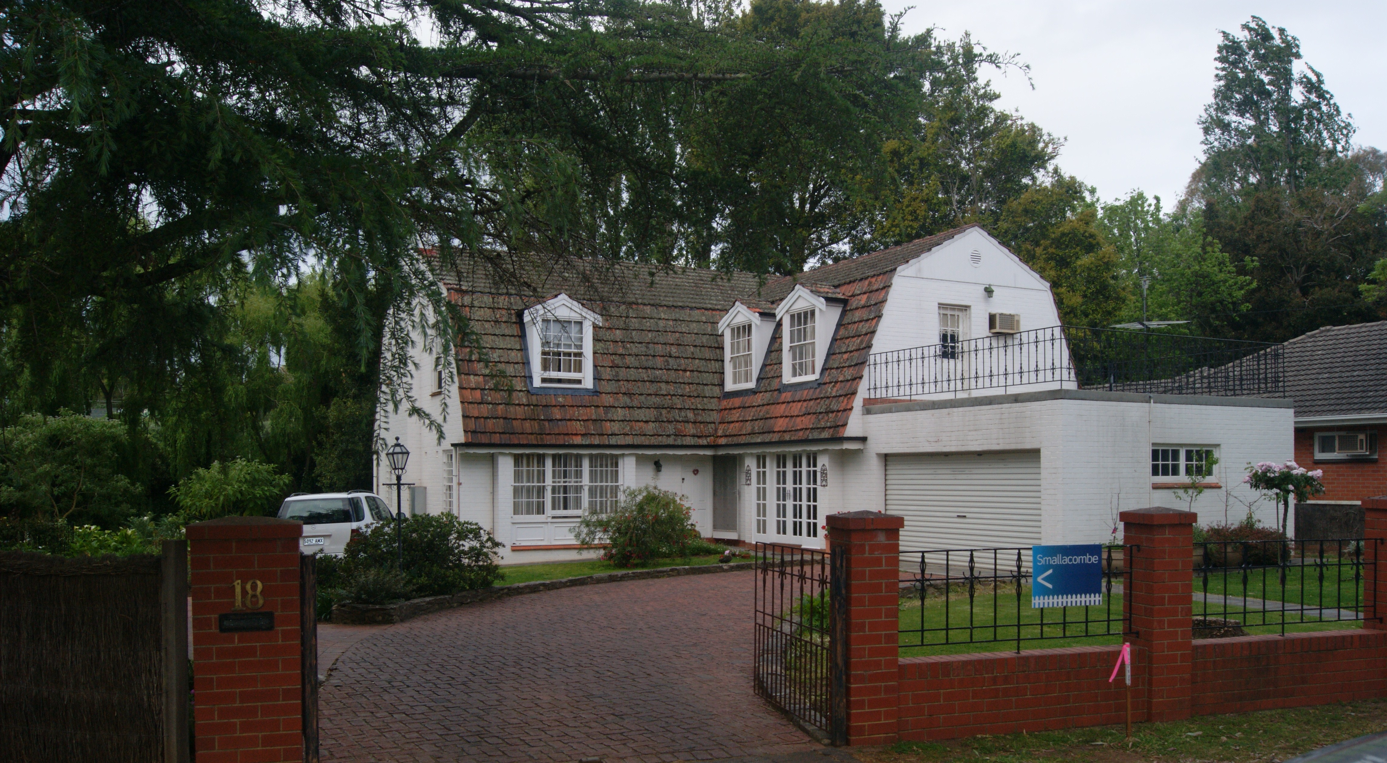
Old Belair Road in City of Mitcham is a single-lane, asphalted secondary road (60 km/h). There is no cycle path. It runs in a northeast-southwest direction starting from Taylors Road and crosses Albert Street, High Street, Norman Walk, Evans Avenue, Tolmer Court and Neweys Road. It connects Mitcham and Torrens Park. This road is part of the long-distance road "B28".
- Road Type
- secondary road
- Speed Limit
- 60
- Lanes
- 1
- Route
- northeast-southwest
Image
Places of worship
Bus stops
- bus lines 173
Roads nearby
Fullers Quarry Road100 m
Tolmer Court100 m
Evans Avenue150 m
Blythewood Road150 m
Keystone Bridge200 m
Mackillop Court250 m
Muggs Hill Road250 m
Neweys Road250 m
Cuthbert Street300 m
Chelmsford AvenueMitcham
300 m
Norman Walk300 m
Northbrook Avenue300 m
Lois Avenue300 m
Brown Hill Creek Road300 m
Frearson Place350 m
Leonard Terrace350 m
Mclaren Court350 m
High Street350 m
Cuthbert Avenue400 m
Barr Avenue400 m
Gilpin Lane400 m
McLaren Street400 m
Lisburne Avenue400 m
Taylors RoadStop 16B Taylors Road - South side, Stop 16B Taylors Road - North side
400 m
Lochness Avenue400 m
Hoggs Road400 m
Albert StreetStop 17 (Zone A) Albert Street - North side, Stop 17 (Zone B) Albert Street - South side
400 m
Rose Lane450 m
Weemala Drive450 m
Building Access450 m
Lower Ando's Downhill450 m
Anderson Avenue500 m
Playford Road500 m
Thorpe Street500 m
Private Property500 m
Fire Track550 m
Silo Access Track550 m
Peter Nelson Trail (Yurrebilla Trail)550 m
Yurrebilla Trail550 m
Fire Track (Ando's Connector)550 m
Sugar Loaf Blue650 m
Barina Crescent650 m
CC Loop750 m
Caravan site nearby
Brownhill Creek Caravan Park650 m
Cemeteries nearby
Mitcham Cemetery400 m
Recreation grounds nearby
Mitcham Reserve50 m
Norman Reserve250 m
Sports pitches nearby
Montrose Oval250 m
Village greens nearby
Sutton Gardens300 m
Public transport map Mitcham Legend
| Railway | |
| Bus | |
| Tram |
Cycling map Mitcham Legend
| Cycle path | |
| Cycle lane on road | |
| Cycling on bus lane | |
| Bicycle street | |
| Cyclists allowed | |
| Cyclists allowed, good surface | |
| No cycling | |
| Cobblestones |
| Long-distance cycle route | (depending on scale) | |
| Long-distance cycle route |
Walking map Mitcham Legend
| Path |
| Long-distance hiking trail | (depending on scale) | |
| Long-distance hiking trail | ||
| No pedestrians |