
Leg of Mutton Lookout in Mount Gambier
Leg of Mutton Lookout in City of Mount Gambier is an asphalted minor road and runs in a north-south direction starting from Davison Drive. In the vicinity, there is a viewpoint.
- Road Type
- minor road
- Route
- north-south
Image
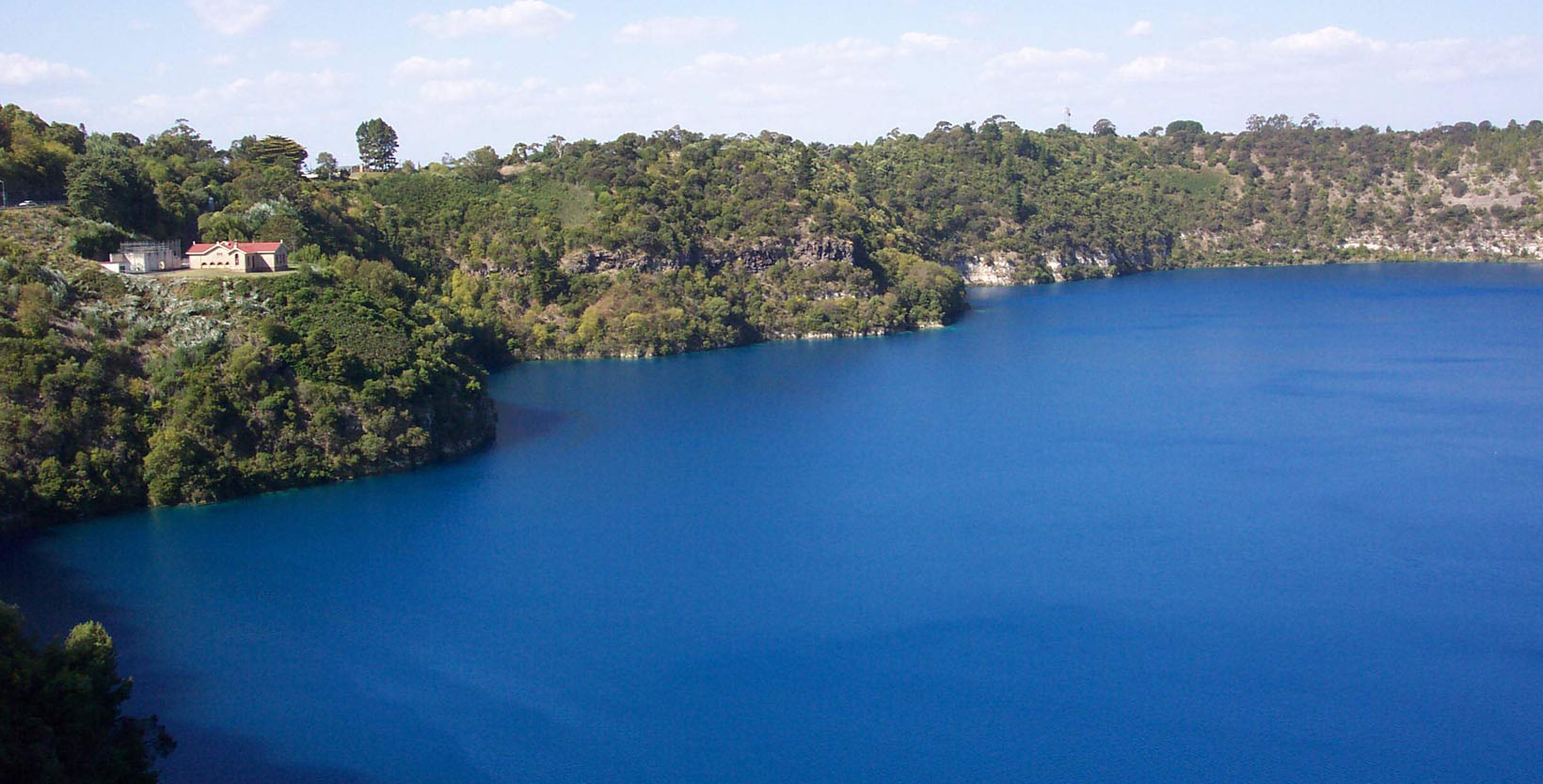
Viewpoint
Roads nearby
Mutton DH100 m
Leg of Mutton Lake walking trail200 m
John Watson DriveBlue Lake Lookout
300 m
Leg of Mutton Lake access trail450 m
Mountain Trail bike path600 m
Hoo Hoo Lookout RoadHoo Hoo Lookout
650 m
Keegan Drive650 m
Bay RoadBlue Lake, Blue Lake Lookout, Blue Lake Rotary Lookout, Lookout, Mount Gambier Courthouse Museum-National Trust, Main Corner Foyer, Noel Barr Toyota, Margaret Scott Gallery, Free City Bike Hire, Toyota, Anglican Church of Mount Gambier, Bay Blue, Cast in Blue (Blue Blob)
700 m
Valley Lake Boat ramp accessValley Lake Conservation area
700 m
Valley Lake Drive750 m
Hospital Drive750 m
Elliott Drive750 m
Davison DriveBlue Lake Lookout, Marks Lookout Park area, Drinking Water Fountain
800 m
Rotary Avenue800 m
Centenary Tower DriveLions Lookout
800 m
Lake Terrace EastLennons
850 m
Foote Street900 m
Howland Street950 m
Shelley Place950 m
Thompson Court950 m
Sunnyside Drive950 m
Power Street950 m
Mountain TrailPotters Point
1000 m
Hay Drive1000 m
Goss Street1000 m
Lake Terrace West1000 m
O'Halloran Terrace1000 m
Wallace Street1,0 km
Oldham Close1,0 km
Amor Street1,0 km
Harbison Street1,0 km
Crouch Street South1,1 km
Mahoney Avenue1,1 km
Ferrers StreetMount Gambier RSL War Museum, Illumident Mount Gambier, The Globe Hotel, Bus Route Start/Stop
1,1 km
Chester Place1,1 km
Robinson Street1,1 km
Body of waters nearby
Valley Lake700 m
Blue Lake800 m
Buildings nearby
Pumping Station500 m
Aquifer Tours750 m
Casadio Park Hall900 m
Caravan site nearby
Blue Lake Holiday Park200 m
Motel nearby
Comfort Inn The Lakes850 m
Parks nearby
Casadio Park950 m
Playgrounds nearby
Valley Lakes Playground850 m
School buildings nearby
Performing Arts Centre1,0 km
Library1,1 km
Wetlands nearby
Leg of Mutton Lake250 m
Browne Lake1,0 km
Public transport map Mount Gambier Legend
| Railway | |
| Bus | |
| Tram |
Cycling map Mount Gambier Legend
| Cycle path | |
| Cycle lane on road | |
| Cycling on bus lane | |
| Bicycle street | |
| Cyclists allowed | |
| Cyclists allowed, good surface | |
| No cycling | |
| Cobblestones |
| Long-distance cycle route | (depending on scale) | |
| Long-distance cycle route |
Walking map Mount Gambier Legend
| Path |
| Long-distance hiking trail | (depending on scale) | |
| Long-distance hiking trail | ||
| No pedestrians |