
Hackney Road in Adelaide
Hackney Road in City of Unley is a two-lane, asphalted, lit expressway (60 km/h). It runs as a one-way street in a south-north direction starting from Dequetteville Terrace and crosses Botanic Road and Plane Tree Drive. It ends in a cul-de-sac. This road is part of the long-distance road "R1". The bus lines 500, 501, 502, 506, 528, 546, 548, 556, 557, C1, C2, G40, M44, N1, N502 and N541 serve this stop. Hackney Road also exists in Adelaide City Council and The City of Norwood Payneham and St Peters.
- Road Type
- expressway
- Speed Limit
- 60
- Lanes
- 2
- Route
- north-south
Image
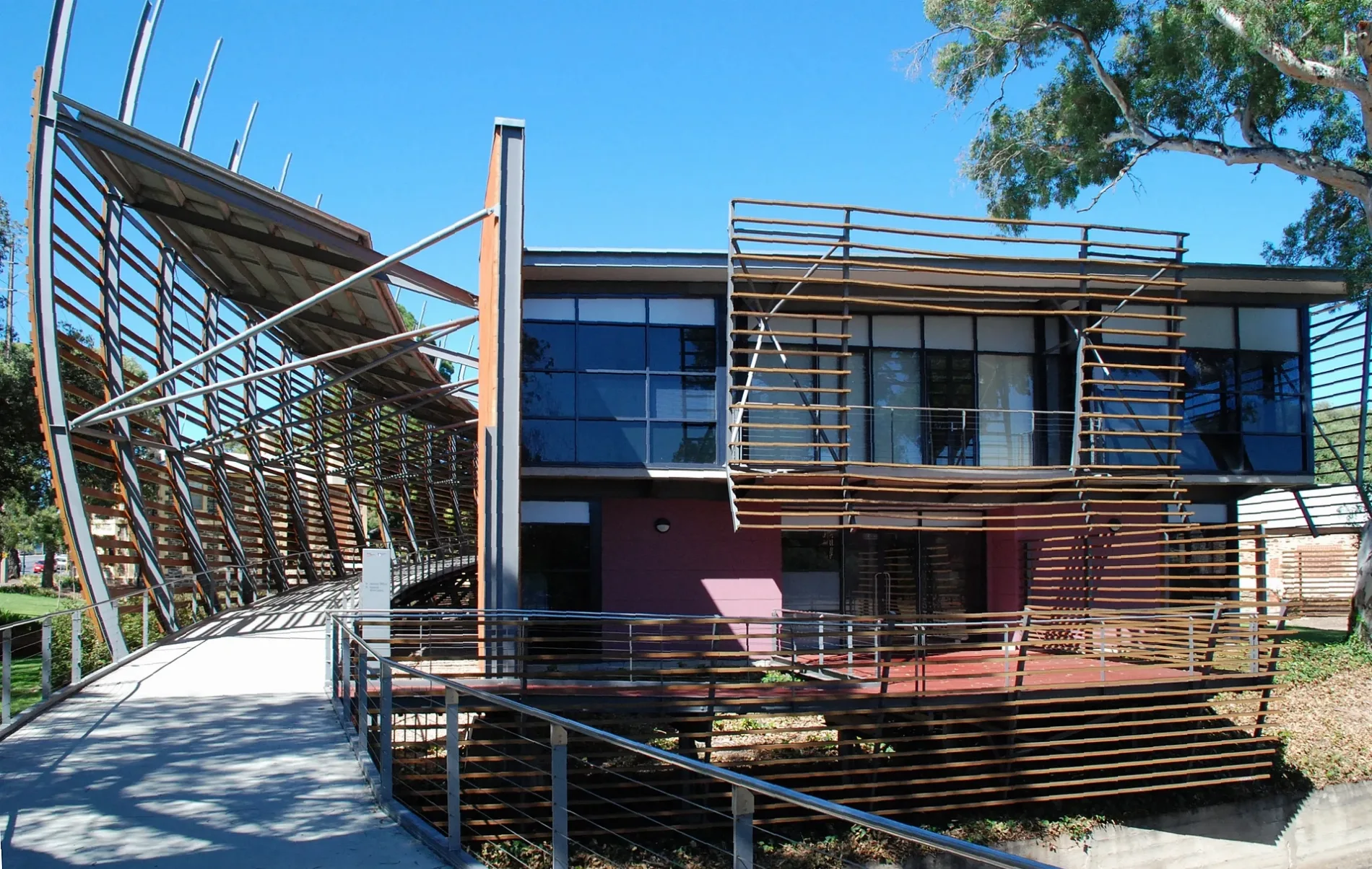
Bus stops
- bus lines 500, 501, 502, 506, 528, 546, 548, 556, 557, C1, C2, G40, M44, N1, N502, N541
Roads nearby
Hackney RoadStop 3 Hackney Road - North East side, Stop 2 Hackney Road - North East side, Stop 2A Hackney Road - East side
50 m
Botanic Street50 m
O-Bahn City Access100 m
Keble Lane100 m
Westbury Street100 m
Athelney Avenue200 m
Plane Tree DrivePanda Exhibit, Chimpanzee Finger, Evergreen To Go, Trade Entrance 1, Conservatory Gate, Queen Adelaide
250 m
North TerraceMozaika, Meow Nails, Stop 2 North Terrace - North West side, MooBar, Stop 3 North Terrace - North side, Snap Print Solutions, Stop 2 North Terrace - South East side
250 m
Botanic RoadEast Gate, Stop 1 Botanic Road - North West side, Stop 1 Botanic Road - South East side
250 m
Osborne Street250 m
Dequetteville TerraceStop X1 Dequetteville Terrace - South West side, Stop U1 Dequetteville Terrace - West side, Stop V1 Dequetteville Terrace - West side, Stop W1 Dequetteville Terrace - South West side
250 m
Wyandra Lane350 m
Ficus AvenueRestaurant Botanic, Simpson Kiosk, The Lodge, Robert Swinbourne Seat, Friends Gift Shop, Friends' Gate
400 m
Vailima Court550 m
Apartment buildings nearby
North Terrace House200 m
Athelney House300 m
Artwork nearby
Black Spring250 m
Attraction nearby
National Wine Centre of Australia200 m
Bicentennial Conservatory250 m
Simpson Shadehouse300 m
Mediterranean Garden300 m
Amazon Waterlily Pavilion350 m
Buildings nearby
Hackney House50 m
Old Tram Barn A100 m
Goodman Building100 m
Deadhouse200 m
Uniform Shop250 m
Wyatt House400 m
North Lodge450 m
Gardens nearby
Kitchen Garden100 m
Sunken Garden200 m
Araucaria Avenue250 m
Eremophila Garden300 m
Plane Tree Lawns350 m
Classgrounds450 m
Northern Palm Garden500 m
Hangars nearby
Sports Centre300 m
Museum nearby
Museum of Economic Botany300 m
Office buildings nearby
Hickinbotham Group200 m
Parks nearby
Vest Pocket Park200 m
Petrol stations nearby
OTR100 m
Places of worship nearby
Beth Shalom150 m
Plant nurseries nearby
Threatened Plant Seed Orchard250 m
Residential buildings nearby
Romilly House200 m
Roof structures nearby
Schomburgk Pavilion300 m
School buildings nearby
Hill Wing Music Centre300 m
Nitschke Pavilion400 m
Sports pitches nearby
Main Oval400 m
Streams nearby
First Creek450 m
Wetlands nearby
First Creek Wetland150 m
Public transport map Adelaide Legend
| Railway | |
| Bus | |
| Tram |
Cycling map Adelaide Legend
| Cycle path | |
| Cycle lane on road | |
| Cycling on bus lane | |
| Bicycle street | |
| Cyclists allowed | |
| Cyclists allowed, good surface | |
| No cycling | |
| Cobblestones |
| Long-distance cycle route | (depending on scale) | |
| Long-distance cycle route |
Walking map Adelaide Legend
| Path |
| Long-distance hiking trail | (depending on scale) | |
| Long-distance hiking trail | ||
| No pedestrians |