
Stock Street in Kapunda
Stock Street in Light Regional Council is a residential street (50 km/h). It runs in a northeast-southwest direction starting from Hill Street and crosses Brown Street and ends at Tod Street. Stock Street also exists in The Regional Council of Goyder and City of Port Adelaide Enfield.
- Road Type
- residential street
- Speed Limit
- 50
- Route
- northeast-southwest
Image
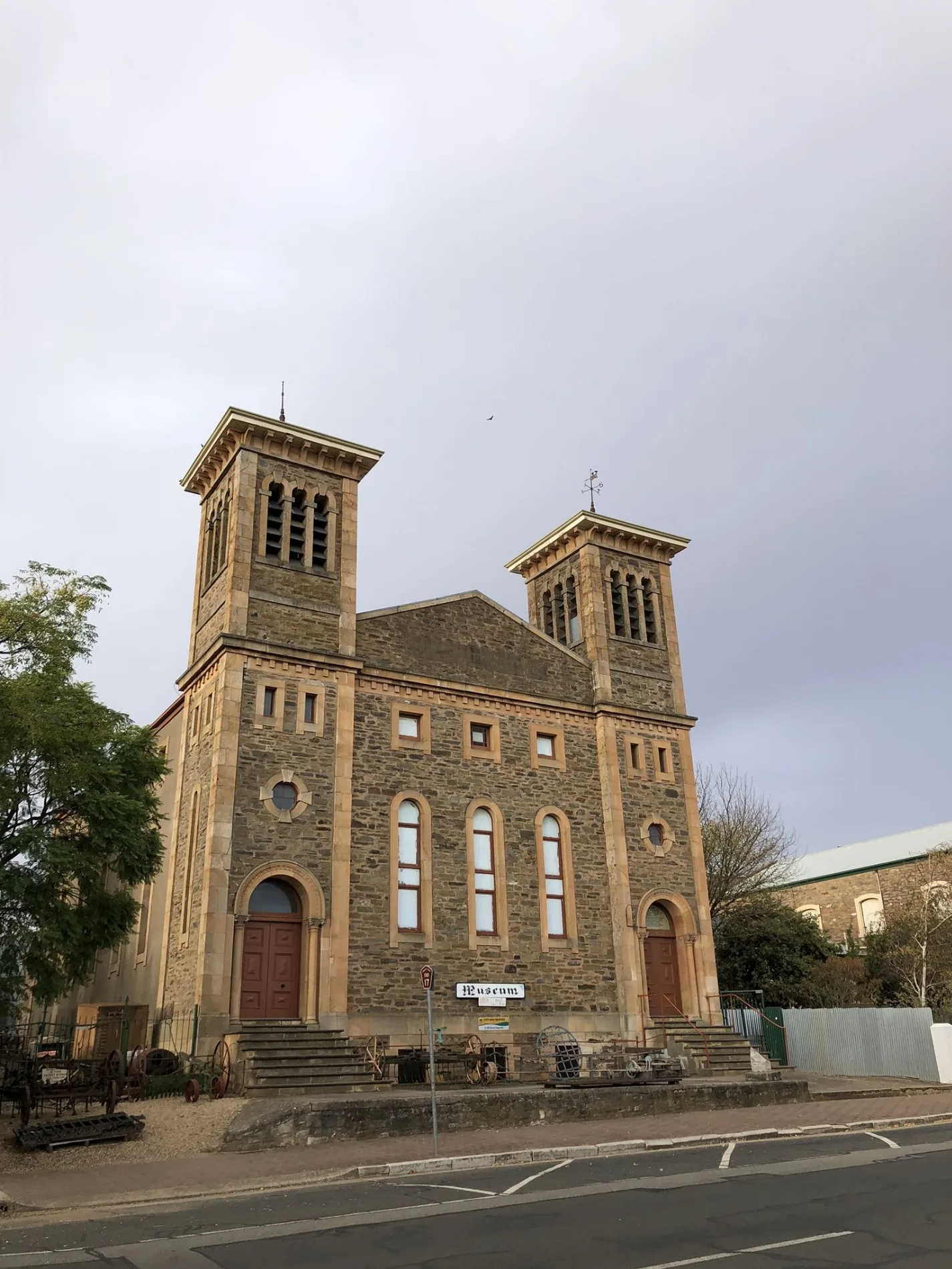
Wine shops
Attraction
Clothing shops
Cafés
Pharmacy
Chalet
Library
Pubs
Tourist information offices
Fast food restaurants
Greengrocers
Artwork
Roads nearby
Brown Street50 m
Hill StreetKapunda Library, coven wine room
100 m
Tod Street150 m
Willow Drive150 m
Coghill Street250 m
Blyth Street250 m
Mill Lane250 m
Railway Road250 m
Robe Street300 m
Church Street300 m
Lewis Street300 m
Main StreetOne White Kite, Kapunda, TerryWhite Chemmart, Coopers Fresh, 2b Nourished, Winston's, Bliss, Bullrush, 2B Nourished, Sir John Franklin, Light Country Visitor Information Centre
350 m
Kapunda Rail Trail350 m
Carrington Street350 m
Cambria Street350 m
Grey Street400 m
Young Street400 m
Albert Street400 m
Hindmarsh Street400 m
Gawler Street400 m
Waterhouse Street400 m
Queen Street400 m
Railway ParadeThe Station @ Kapunda
400 m
Francis Street500 m
Montefiore Street500 m
Baker Street500 m
Way Street500 m
Harriet Street550 m
Nottingham Street550 m
Shops nearby
GotaBug - Pest Removal300 m
Ford House300 m
Light Regional Council350 m
Beauty salons nearby
Barossa Vine Beauty300 m
Buildings nearby
Century 21300 m
Cafés nearby
One White Kite Cafe300 m
Clothing shops nearby
Sally's Clothes Horse300 m
Commercial buildings nearby
Kapunda200 m
Fire stations nearby
Kapunda CFS400 m
Hardware shops nearby
ThriftyLink Kapunda500 m
Museum nearby
Kapunda Museum200 m
Bagot's Fortune Mining Museum250 m
Pet groomings nearby
Hair Off The Dog Groomer300 m
Places of worship nearby
Light Community Church250 m
Police stations nearby
Kapunda Police Station350 m
Post offices nearby
Kapunda Post Office300 m
Pubs nearby
Clare Castle Hotel350 m
Sports centres nearby
Kapunda Swimming Pool250 m
Supermarkets nearby
Kapunda Foodland450 m
Town halls nearby
Kapunda Institute250 m
Public transport map Kapunda Legend
| Railway | |
| Bus | |
| Tram |
Cycling map Kapunda Legend
| Cycle path | |
| Cycle lane on road | |
| Cycling on bus lane | |
| Bicycle street | |
| Cyclists allowed | |
| Cyclists allowed, good surface | |
| No cycling | |
| Cobblestones |
| Long-distance cycle route | (depending on scale) | |
| Long-distance cycle route |
Walking map Kapunda Legend
| Path |
| Long-distance hiking trail | (depending on scale) | |
| Long-distance hiking trail | ||
| No pedestrians |