
Markham Lane in Renmark
Markham Lane in Renmark Paringa Council is a service road. It runs in a southeast-northwest direction starting from Pinyon Lane and crosses Thurk Street and Murtho Street. It ends in a cul-de-sac. In the vicinity, you can find 2 hairdressers and a clinic. The nearest bus stop in the vicinity is Renmark (approx. 500 m away).
- Road Type
- service road
- Route
- southeast-northwest
Image
Roads nearby
Fourteenth StreetBakers Delight, Renmark Patisserie Bakery, Dimples Boutique
100 m
Ral Ral AvenueCinnamon Grove Vintage Creations, Foodland, Happee Health, Riverland Youth Theater, Grape Vine Book & Gift
100 m
Riedel Lane150 m
Renmark AvenueRiverland Agri Services, Paul Hutchins Loan Centre, Noodle Bento, Riverland Electrical Services, Golden Tiger Fine Food, Priceline Pharmacy, Renmark, Pendle Motors, Riverland Golden Palace Chinese Restaurant, Bollywood Boutique Hair & Beauty, Renmark Newsagency, Domino's, SPA Beautiful, Vaughans Shoe Store & Sewing Centre, Avenue Fine Jewellers, Riverland Country Style Meats, Santosha Health and Wellbeing Centre, Big River Carpets and Flooring, Sleep Zone
200 m
Murray Avenue200 m
Council Lane200 m
Rowing Club Lane250 m
Renmark Riverfront WalkRenmark, Lion
300 m
Weste Lane350 m
Thirteenth Street400 m
James Avenue400 m
Turnbull Lane450 m
Mullins Lane450 m
Cattera Lane450 m
Twelfth Street450 m
Eleventh Street550 m
Carr Lane600 m
Amenities nearby
Renmark Club300 m
Antique shops nearby
Freds 2nd Hand Shop150 m
Banks nearby
Commonwealth Bank200 m
Bank SA200 m
NAB250 m
Beauty salons nearby
Surge200 m
Bookshops nearby
T. H. Books250 m
Buildings nearby
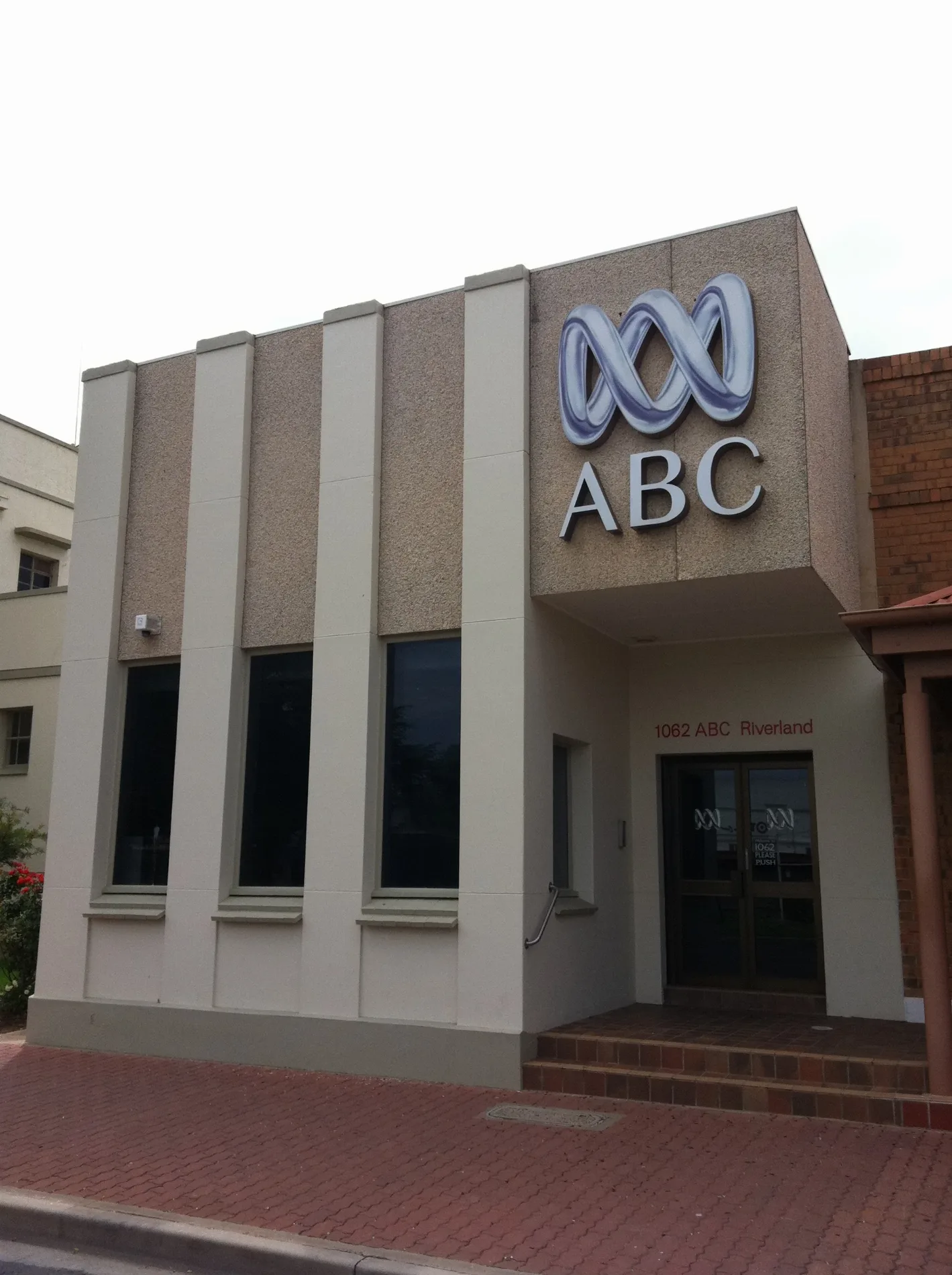
ABC Renmark150 m
Senator Anne Ruston200 m
Carpet shops nearby
Carpet One150 m
Clinics nearby
My Health Haven300 m
Renmark Medical Clinic300 m
Commercial buildings nearby
Chaffey Colonades100 m
Department stores nearby
Harvey Norman150 m
Fitness centres nearby
CrossFit100 m
Gift shops nearby
Henri & Cooper200 m
Serendipity200 m
Hairdresser's nearby
Hairtex 15200 m
Hardware shops nearby
Thrifty Link Hardware150 m
Houseware shops nearby
Lotsa Pots250 m
Libraries nearby
Renmark Library250 m
Places of worship nearby
Renmark Catholic Church300 m
Saint Augustine of Hippo400 m
Playgrounds nearby
Lions Playground250 m
Post offices nearby
Renmark Post Office150 m
Public toilets nearby
Renmark Soldiers Memorial Hall200 m
Restaurants nearby
Chill 'N' Grill250 m
Retail buildings nearby
Geokontra Mall100 m
Roof structures nearby
Wine Press200 m
Sheds nearby
Renmark Rowing Club250 m
Shopping malls nearby
Lefty's Mall100 m
Tyre shops nearby
Riverland Tyrepower150 m
Public transport map Renmark Legend
| Railway | |
| Bus | |
| Tram |
Cycling map Renmark Legend
| Cycle path | |
| Cycle lane on road | |
| Cycling on bus lane | |
| Bicycle street | |
| Cyclists allowed | |
| Cyclists allowed, good surface | |
| No cycling | |
| Cobblestones |
| Long-distance cycle route | (depending on scale) | |
| Long-distance cycle route |
Walking map Renmark Legend
| Path |
| Long-distance hiking trail | (depending on scale) | |
| Long-distance hiking trail | ||
| No pedestrians |