
Alden Street in Sunshine West
Alden Street in City of Brimbank is a residential street (50 km/h) and runs in a north-south direction starting from Ridgeway Parade and ends at Whitesides Avenue. Alden Street also exists in City of Hume and Shire of Mornington Peninsula.
- Road Type
- residential street
- Speed Limit
- 50
- Route
- north-south
Image
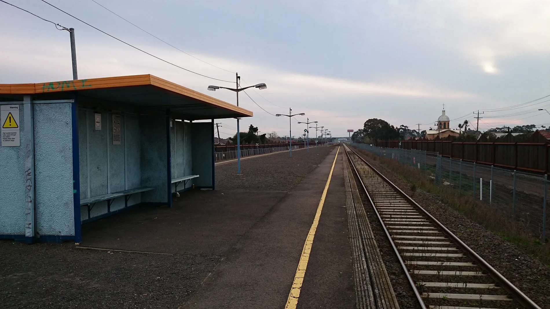
Pubs
Stations
Bus stops
Platforms
Fast food restaurants
Clinic
Roads nearby
Evelyn CrescentGlengala Hotel
50 m
Norton Street150 m
Frank Street150 m
Mentha Street250 m
Chandler Street250 m
Vernon Crescent300 m
Daley Street350 m
James Street350 m
Sunshine ArdeerArdeer 1, West St/Forrest St, Kororoit Creek/Forrest St, North St/Forrest St, Yallourn St/Forrest St
350 m
Lorna Crescent450 m
Whitesides Avenue450 m
Fern Street450 m
Glengala RoadSt Paul's Church/Glengala Rd, Links St/Glengala Rd, Marian College/Glengala Rd, Fitzgerald Rd/Glengala Rd, Sunshine College/Glengala Rd, Allison St/Glengala Rd, Lorna Cres/Glengala Rd, Ralph St/Glengala Rd, Evelyn Cres/Glengala Rd, Vernon Cres/Glengala Rd, Krambruk St/Glengala Rd, Mernda Rd/Glengala Rd, Ryder St/Glengala Rd, Carter St/Glengala Rd, Pellew St/Glengala Rd, Day St/Glengala Rd, Glengala Road Pharmacy, Simmie St/Glengala Rd, Sunshine Hot Bread, Vinh Hưng 2 - Butcher, Seafood and Asian Groceries, Bell St/Glengala Rd, Collenso St/Glengala Rd
500 m
Dinnell Street500 m
Suspension Street500 m
Ralph Street500 m
Ridgeway ParadeArdeer, Ardeer 2
500 m
Murray Street550 m
McLaughlin Street550 m
Eva Street550 m
Tower Street600 m
Derrimut TrailThe Avenue/Link Rd
600 m
Davey Street600 m
Maxweld Street600 m
Joan Street600 m
North Street700 m
Links Street700 m
Hall Street700 m
Blanche Street700 m
Estelle StreetGlengala Health
700 m
Lawrence Street750 m
Collenso Street750 m
Forrest StreetSt Andrews Aged Care/98 Forrest St, Yallourn St/Forrest St, North St/Forrest St, Tower St/Forrest St
800 m
Raymond Street800 m
Arnold Street800 m
Young Street800 m
Bell StreetEat More Pastizzi, Bell Street Pizza
800 m
Yallourn Street800 m
Helene Street850 m
Buildings nearby
Sunshine Heights Cricket Club350 m
Ardeer Primary School600 m
Community centres nearby
Cyprus Community Centre700 m
Dog parks nearby
Collenso Street Reserve Dog Off-Leash Area600 m
Parks nearby
Ainsworth Reserve200 m
Ardeer Community Park500 m
Collenso Street Reserve (Papadakis Park)650 m
Playgrounds nearby
Collenso Street Reserve Playground600 m
Retail buildings nearby
Bell Street Shops800 m
Streams nearby
Kororoit Creek850 m
Public transport map Sunshine West Legend
| Railway | |
| Bus | |
| Tram |
Cycling map Sunshine West Legend
| Cycle path | |
| Cycle lane on road | |
| Cycling on bus lane | |
| Bicycle street | |
| Cyclists allowed | |
| Cyclists allowed, good surface | |
| No cycling | |
| Cobblestones |
| Long-distance cycle route | (depending on scale) | |
| Long-distance cycle route |
Walking map Sunshine West Legend
| Path |
| Long-distance hiking trail | (depending on scale) | |
| Long-distance hiking trail | ||
| No pedestrians |