
Fern Street in Sunshine West
Fern Street in City of Brimbank is a residential street (50 km/h) and runs in a north-south direction starting from Ridgeway Parade and ends at Whitesides Avenue. Fern Street also exists in City of Greater Geelong, City of Monash, Shire of Nillumbik, City of Bayside and City of Knox.
- Road Type
- residential street
- Speed Limit
- 50
- Route
- north-south
Image
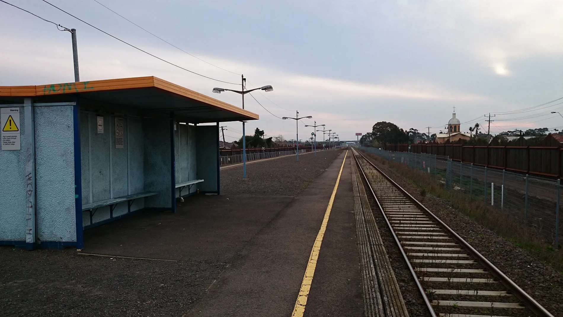
Stations
Bus stops
Roads nearby
Lorna Crescent100 m
Daphne Street150 m
James Street150 m
Mark Street150 m
Vernon Crescent200 m
Chandler Street250 m
Allison Street250 m
Forrest StreetWest St/Forrest St, Ukrainian Catholic Church/Forrest St, Ardeer Station/Forrest St, Tower St/Forrest St
350 m
Frank Street350 m
Nancy Street450 m
Evelyn CrescentGlengala Hotel
450 m
Alden Street450 m
Nina Street450 m
Sunshine ArdeerArdeer 1, West St/Forrest St, Kororoit Creek/Forrest St, North St/Forrest St, Yallourn St/Forrest St
450 m
Holmes Street500 m
Norton Street550 m
McLaughlin Street600 m
Charlotte Street650 m
Mentha Street650 m
Rockbank Road700 m
Ralph Street700 m
Eva Street700 m
Hilma StreetRalph St/Hilma St, Allison St/Hilma St
700 m
Blanche Street750 m
Langley Street750 m
West Street750 m
Murray Street750 m
Lawrence Street750 m
Daley Street750 m
Maxweld Street800 m
Joan Street800 m
North Street800 m
Yallourn Street800 m
Dinnell Street800 m
Suspension Street850 m
Helene Street850 m
Hall Street850 m
Whitesides Avenue850 m
Links Street900 m
Glengala RoadSt Paul's Church/Glengala Rd, Links St/Glengala Rd, Marian College/Glengala Rd, Fitzgerald Rd/Glengala Rd, Sunshine College/Glengala Rd, Allison St/Glengala Rd, Lorna Cres/Glengala Rd, Ralph St/Glengala Rd, Evelyn Cres/Glengala Rd, Vernon Cres/Glengala Rd, Krambruk St/Glengala Rd, Mernda Rd/Glengala Rd, Ryder St/Glengala Rd, Carter St/Glengala Rd, Pellew St/Glengala Rd, Day St/Glengala Rd, Glengala Road Pharmacy, Simmie St/Glengala Rd, Sunshine Hot Bread, Vinh Hưng 2 - Butcher, Seafood and Asian Groceries, Bell St/Glengala Rd, Collenso St/Glengala Rd
900 m
Buildings nearby
Sunshine Heights Cricket Club300 m
Ardeer Primary School500 m
Parks nearby
Ainsworth Reserve350 m
Nancy Street Reserve350 m
Ralph Reserve750 m
Ardeer Community Park800 m
Proposed railways nearby
Sunshine - Caroline Springs quadruplication300 m
Railway lines nearby
Down Regional Rail Link Line700 m
Up Regional Rail Link Line700 m
Public transport map Sunshine West Legend
| Railway | |
| Bus | |
| Tram |
Cycling map Sunshine West Legend
| Cycle path | |
| Cycle lane on road | |
| Cycling on bus lane | |
| Bicycle street | |
| Cyclists allowed | |
| Cyclists allowed, good surface | |
| No cycling | |
| Cobblestones |
| Long-distance cycle route | (depending on scale) | |
| Long-distance cycle route |
Walking map Sunshine West Legend
| Path |
| Long-distance hiking trail | (depending on scale) | |
| Long-distance hiking trail | ||
| No pedestrians |