
Rockbank Road in Ardeer
Rockbank Road in City of Brimbank is a residential street (50 km/h). It runs in an east-west direction and crosses West Street, Yallourn Street, Blanche Street, Langley Street and Lawrence Street. Rockbank Road also exists in City of Melton, City of Casey and Shire of Southern Grampians.
- Road Type
- residential street
- Speed Limit
- 50
- Route
- east-west
Image
Car hires
Bus stops
Roads nearby
Lawrence Street100 m
Langley Street200 m
Chatsworth Avenue250 m
Verdant AvenueArdeer
300 m
Holt Street350 m
Blanche Street350 m
Sunhill Crescent350 m
Yallourn Street400 m
Sunhill Court400 m
Rockwood Street400 m
Holmes Street450 m
Maxweld Street450 m
M80 Trail500 m
West Street500 m
M80 Trail / Kororoit Creek Trail500 m
Hexham Street550 m
Glinden Avenue550 m
Flynn Avenue550 m
Helene Street600 m
Forrest StreetWest St/Forrest St, Ukrainian Catholic Church/Forrest St, Ardeer Station/Forrest St, Tower St/Forrest St
600 m
Sunshine ArdeerArdeer 1, West St/Forrest St, Kororoit Creek/Forrest St, North St/Forrest St, Yallourn St/Forrest St
600 m
McKay Road600 m
North Street650 m
Ballarat Road Service RoadBudget, Holt St/Ballarat Rd
700 m
Chelsey Street700 m
International Drive750 m
Kororoit Creek Trail750 m
Reid Street750 m
Hesser Street750 m
Suspension Street750 m
Thwaites Street800 m
Wasley Street800 m
Ballarat RoadChatsworth Avenue/Ballarat Road, Sunshine Motor Inn/Ballarat Rd, Sunshine Mosque/Ballarat Rd
850 m
Esmond Street850 m
Carrington DriveEdge Motorworks
950 m
Buildings nearby
Ardeer Primary School450 m
Polish Club Albion950 m
Industrial areas nearby
Deer Park Service Centre700 m
Motel nearby
Sunshine Motor Inn550 m
West City Motel and Cabin Park550 m
Parks nearby
Ardeer Reserve550 m
Ardeer Community Park750 m
Petrol stations nearby
Costco Gasoline750 m
Places of worship nearby
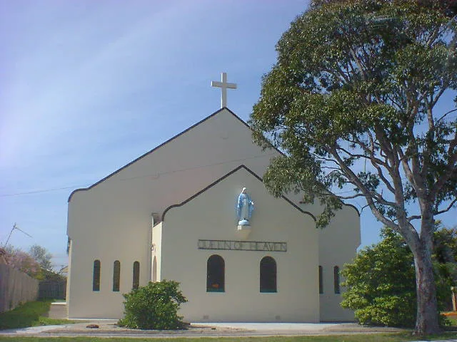
Queen of Heaven450 m
Religiouses nearby
Sunshine Mosque850 m
Khalid Bin Waleed Mosque900 m
Sports centres nearby
Western Eagles Soccer Club850 m
Streams nearby
Kororoit Creek600 m
Jones Creek750 m
Public transport map Ardeer Legend
| Railway | |
| Bus | |
| Tram |
Cycling map Ardeer Legend
| Cycle path | |
| Cycle lane on road | |
| Cycling on bus lane | |
| Bicycle street | |
| Cyclists allowed | |
| Cyclists allowed, good surface | |
| No cycling | |
| Cobblestones |
| Long-distance cycle route | (depending on scale) | |
| Long-distance cycle route |
Walking map Ardeer Legend
| Path |
| Long-distance hiking trail | (depending on scale) | |
| Long-distance hiking trail | ||
| No pedestrians |