
Ballarat Road Service Road in Ardeer
Ballarat Road Service Road in City of Brimbank is a single-lane residential street. It runs as a one-way street in a southeast-northwest direction starting from Holt Street and crosses Chelsey Street and ends at Esmond Street. In the vicinity, there is among other things a car hire. The nearest stop is Holt St/Ballarat Rd. The bus line 215 stops here. Ballarat Road Service Road also exists in Albion and Deer Park.
- Road Type
- residential street
- Lanes
- 1
- Route
- southeast-northwest
Image
Roads nearby
Chelsey Street100 m
Glinden Avenue200 m
Esmond Street200 m
Hexham Street250 m
M80 Trail300 m
Western Highway Offramp350 m
Kororoit Creek Trail400 m
Holt Street400 m
Western Ring Road400 m
Ballarat RoadChatsworth Avenue/Ballarat Road, Sunshine Motor Inn/Ballarat Rd, Sunshine Mosque/Ballarat Rd
450 m
Rockwood Street450 m
Sunhill Crescent450 m
Reid Street450 m
Chatsworth Avenue500 m
Western Ring Road Onramp500 m
M80 Trail / Kororoit Creek Trail500 m
Verdant AvenueArdeer
600 m
Sunhill Court600 m
Lawrence Street750 m
Silverdale Walk750 m
Rockbank Road800 m
Yallourn Street800 m
Helene Street800 m
Blanche Street800 m
Cochrane Street800 m
Langley Street850 m
West Street850 m
Sandygate Court900 m
Maxweld Street900 m
Highfield Road900 m
Cavanagh Close900 m
Denton Avenue950 m
Jonesfield Corner950 m
Goulburn Court1000 m
Lovell Drive1000 m
Buildings nearby
Polish Club Albion800 m
Industrial areas nearby
Deer Park Service Centre100 m
Orica Limited550 m
Motel nearby
West City Motel and Cabin Park450 m
Sunshine Motor Inn450 m
Parks nearby
More Park350 m
Kevin Flint Memorial Reserve900 m
Petrol stations nearby
Costco Gasoline100 m
Places of worship nearby
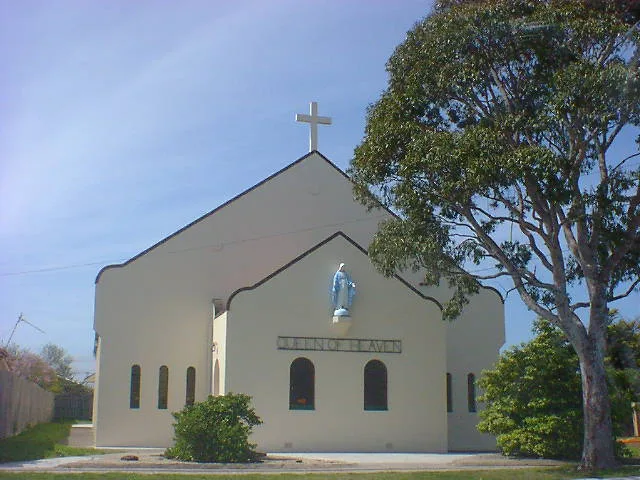
Queen of Heaven250 m
Religiouses nearby
Sunshine Mosque300 m
Sports centres nearby
Western Eagles Soccer Club700 m
Streams nearby
Kororoit Creek450 m
Jones Creek600 m
Wholesale shops nearby
Costco250 m
Public transport map Ardeer Legend
| Railway | |
| Bus | |
| Tram |
Cycling map Ardeer Legend
| Cycle path | |
| Cycle lane on road | |
| Cycling on bus lane | |
| Bicycle street | |
| Cyclists allowed | |
| Cyclists allowed, good surface | |
| No cycling | |
| Cobblestones |
| Long-distance cycle route | (depending on scale) | |
| Long-distance cycle route |
Walking map Ardeer Legend
| Path |
| Long-distance hiking trail | (depending on scale) | |
| Long-distance hiking trail | ||
| No pedestrians |