
Western Ring Road in Ardeer
Western Ring Road in City of Brimbank is a four-lane, asphalted motorway (100 km/h). It crosses Sunshine Avenue Offramp, Western Ring Road Onramp, Furlong Road Offramp, Western Highway Offramp, Fitzgerald Road Onramp, Western Freeway Offramp, Service Centre Offramp and Boundary Road Offramp and connects Sunshine North, Sunshine West, St Albans, Ardeer and Albion. This road is part of the long-distance road "M80". Western Ring Road also exists in Tullamarine, Keilor Park, Cairnlea, Derrimut and Deer Park.
- Road Type
- motorway
- Bicycle
- no
- Speed Limit
- 100
- Lanes
- 4
Image
Car hires
Bus stops
Roads nearby
Kororoit Creek Trail300 m
M80 Trail350 m
M80 Trail / Kororoit Creek Trail350 m
Ballarat RoadChatsworth Avenue/Ballarat Road, Sunshine Motor Inn/Ballarat Rd, Sunshine Mosque/Ballarat Rd
350 m
Western Ring Road Onramp400 m
Hexham Street400 m
Rockwood Street450 m
Western Highway Offramp450 m
Esmond Street450 m
Chelsey Street450 m
Ballarat Road Service RoadBudget, Holt St/Ballarat Rd
500 m
Holt Street550 m
Glinden Avenue600 m
West Street700 m
Chatsworth Avenue700 m
John Knight Place700 m
Glenbrook Avenue700 m
Blanche Street750 m
Sunhill Crescent800 m
Eaglehawk Circuit850 m
Ravenswood Walk900 m
Clarian Street900 m
Cochrane Street900 m
Bannes Road900 m
Ravenswood Lane950 m
Cairnlea DriveMinh Vi, Wok King, The Mustard Seed, Grind Grill & Haus, Delite Fish & Chips, Cairnlea Butcher, Basil Leaf Thai
950 m
Silverdale Walk950 m
Elford Court950 m
Kingsbridge Circuit1000 m
Chesterfield Road1000 m
Cairnlea Drive Service Road1000 m
Edgewood Court1000 m
Brinkhill Court1000 m
Pembrey Road1,0 km
Sunnybrae Circuit1,0 km
Sandygate Court1,0 km
Highfield Road1,0 km
Industrial areas nearby
Orica Limited300 m
Deer Park Service Centre600 m
Motel nearby
West City Motel and Cabin Park850 m
Parks nearby
More Park200 m
Clarian Street Reserve750 m
Elford Green Reserve1000 m
Petrol stations nearby
Costco Gasoline550 m
Places of worship nearby
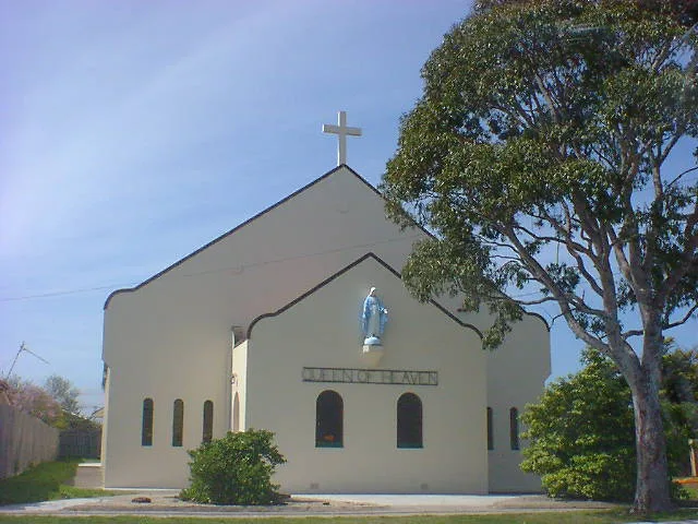
Queen of Heaven500 m
Religiouses nearby
Sunshine Mosque750 m
Restaurants nearby
Deer Park Hotel650 m
Streams nearby
Kororoit Creek250 m
Wholesale shops nearby
Costco550 m
Public transport map Ardeer Legend
| Railway | |
| Bus | |
| Tram |
Cycling map Ardeer Legend
| Cycle path | |
| Cycle lane on road | |
| Cycling on bus lane | |
| Bicycle street | |
| Cyclists allowed | |
| Cyclists allowed, good surface | |
| No cycling | |
| Cobblestones |
| Long-distance cycle route | (depending on scale) | |
| Long-distance cycle route |
Walking map Ardeer Legend
| Path |
| Long-distance hiking trail | (depending on scale) | |
| Long-distance hiking trail | ||
| No pedestrians |