
Ardeer
Ardeer is located in City of Brimbank. About 3,103 people live here (as of 2016). Between 2016 and 2021, the population grew from 3,103 to 3,170. Ardeer has around 174 streets. The postal codes are 3022. Ardeer is suburb of Melbourne, Victoria, Australia. Among other things, Ardeer has public transport.
Ardeer – Facts
| Inhabitants | 3103 |
|---|---|
| Located in | Victoria, City of Brimbank |
| Postal code | 3022 |
| Country | Australia |
Data source: Wikidata (CC0)
Photos from Ardeer
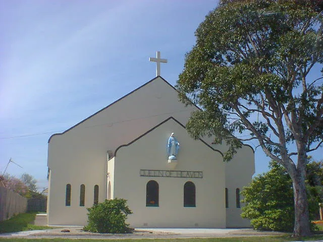
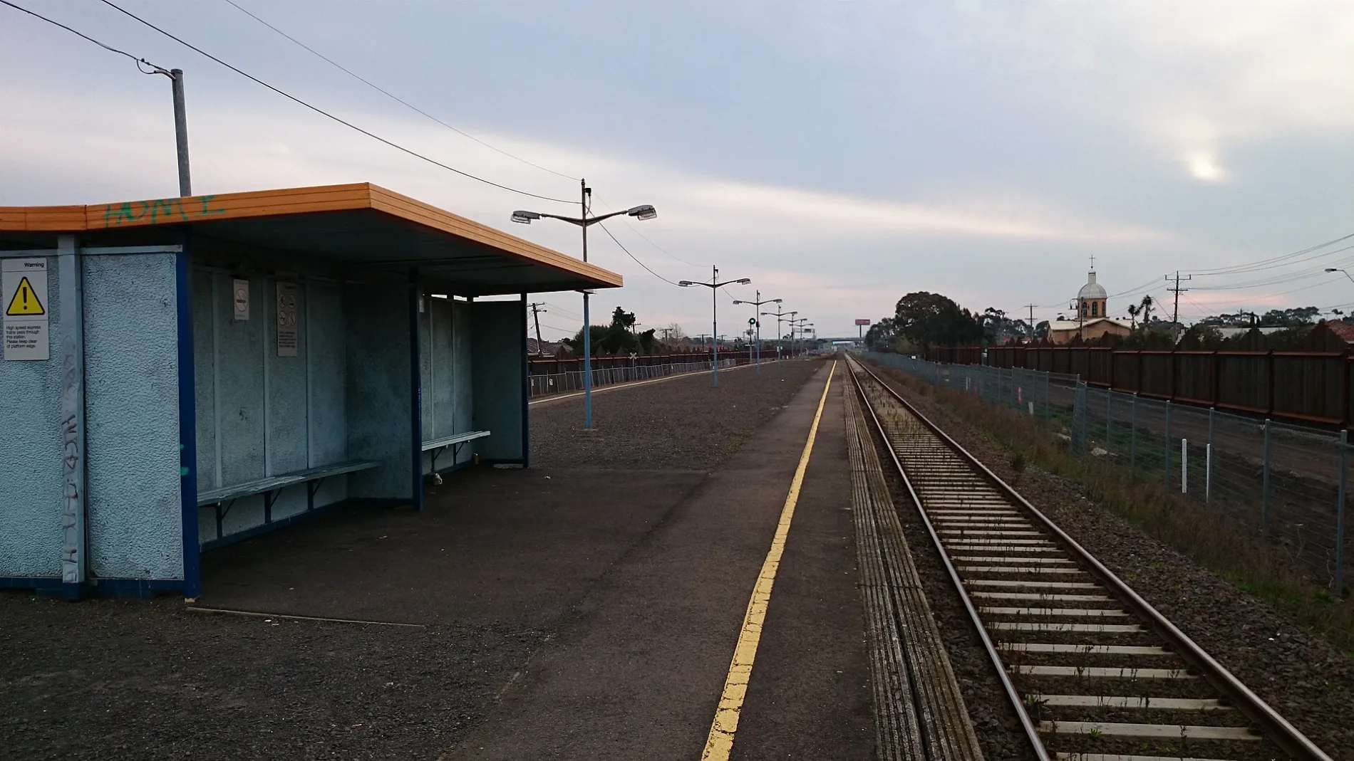
Roads in Ardeer
Roads
Forrest Street
West St/Forrest St, Ukrainian Catholic Church/Forrest St, Ardeer Station/Forrest St, Tower St/Forrest St
Ballarat RoadChatsworth Avenue/Ballarat Road, Sunshine Motor Inn/Ballarat Rd, Sunshine Mosque/Ballarat Rd
Ballarat Road Service RoadBudget, Holt St/Ballarat Rd
North Street
Chatsworth Avenue
Chelsey Street
Hexham Street
Sunshine Ardeer
Yallourn Street
Holt Street
McLaughlin Street
Helene Street
West Street
Western Ring Road Onramp
Kororoit Creek Trail
Suspension Street
M80 Trail
Sunhill Court
Langley Street
Lawrence Street
Blanche Street
Esmond Street
Reid Street
Tower Street
Holmes Street
Western Ring Road
Western Highway Offramp
M80 Trail / Kororoit Creek Trail
Maxweld Street
Rockbank Road
Rockwood Street
Glinden Avenue
Verdant AvenueArdeer
Fitzgerald Road
Sunhill CrescentBuildings
Community centres
Industrial areas
Petrol stations
Places of worship
Religiouses
Streams
Wholesale shops
Public transport map Ardeer Legend
| Railway | |
| Bus | |
| Tram |
Cycling map Ardeer Legend
| Cycle path | |
| Cycle lane on road | |
| Cycling on bus lane | |
| Bicycle street | |
| Cyclists allowed | |
| Cyclists allowed, good surface | |
| No cycling | |
| Cobblestones |
| Long-distance cycle route | (depending on scale) | |
| Long-distance cycle route |
Walking map Ardeer Legend
| Path |
| Long-distance hiking trail | (depending on scale) | |
| Long-distance hiking trail | ||
| No pedestrians |