
Rockwood Street in Ardeer
Rockwood Street in City of Brimbank is a residential street (50 km/h). It runs in an east-west direction starting from Esmond Street and crosses Chelsey Street and ends at Holt Street.
- Road Type
- residential street
- Speed Limit
- 50
- Route
- east-west
Image
Car hires
Bus stops
Roads nearby
Holt Street150 m
M80 Trail / Kororoit Creek Trail150 m
Hexham Street200 m
Chatsworth Avenue300 m
Glinden Avenue400 m
Blanche Street400 m
Ballarat Road Service RoadBudget, Holt St/Ballarat Rd
450 m
Chelsey Street450 m
Sunhill Crescent450 m
West Street450 m
Lawrence Street500 m
Verdant AvenueArdeer
500 m
M80 Trail500 m
Langley Street550 m
Esmond Street550 m
Helene Street550 m
Kororoit Creek Trail600 m
McLaughlin Street600 m
Western Ring Road600 m
Sunhill Court600 m
Ballarat RoadChatsworth Avenue/Ballarat Road, Sunshine Motor Inn/Ballarat Rd, Sunshine Mosque/Ballarat Rd
600 m
Holmes Street650 m
Western Highway Offramp650 m
Western Ring Road Onramp700 m
Fitzgerald Road700 m
Rockbank Road700 m
Yallourn Street700 m
Reid Street700 m
Sunshine ArdeerArdeer 1, West St/Forrest St, Kororoit Creek/Forrest St, North St/Forrest St, Yallourn St/Forrest St
800 m
Forrest StreetWest St/Forrest St, Ukrainian Catholic Church/Forrest St, Ardeer Station/Forrest St, Tower St/Forrest St
800 m
Suspension Street850 m
Ridgeway ParadeArdeer, Ardeer 2
850 m
Allison Street850 m
Nancy Street850 m
Tilburn Road900 m
Buildings nearby
Ardeer Primary School700 m
Industrial areas nearby
Deer Park Service Centre500 m
Orica Limited700 m
Motel nearby
West City Motel and Cabin Park550 m
Sunshine Motor Inn600 m
Parks nearby
More Park400 m
Petrol stations nearby
Costco Gasoline500 m
Places of worship nearby
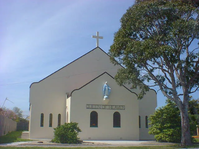
Queen of Heaven250 m
Proposed railways nearby
Sunshine - Caroline Springs quadruplication850 m
Railway lines nearby
Up Regional Rail Link Line900 m
Down Regional Rail Link Line900 m
Religiouses nearby
Sunshine Mosque700 m
Streams nearby
Kororoit Creek200 m
Wholesale shops nearby
Costco650 m
Public transport map Ardeer Legend
| Railway | |
| Bus | |
| Tram |
Cycling map Ardeer Legend
| Cycle path | |
| Cycle lane on road | |
| Cycling on bus lane | |
| Bicycle street | |
| Cyclists allowed | |
| Cyclists allowed, good surface | |
| No cycling | |
| Cobblestones |
| Long-distance cycle route | (depending on scale) | |
| Long-distance cycle route |
Walking map Ardeer Legend
| Path |
| Long-distance hiking trail | (depending on scale) | |
| Long-distance hiking trail | ||
| No pedestrians |