
Ferguson Street in Newport
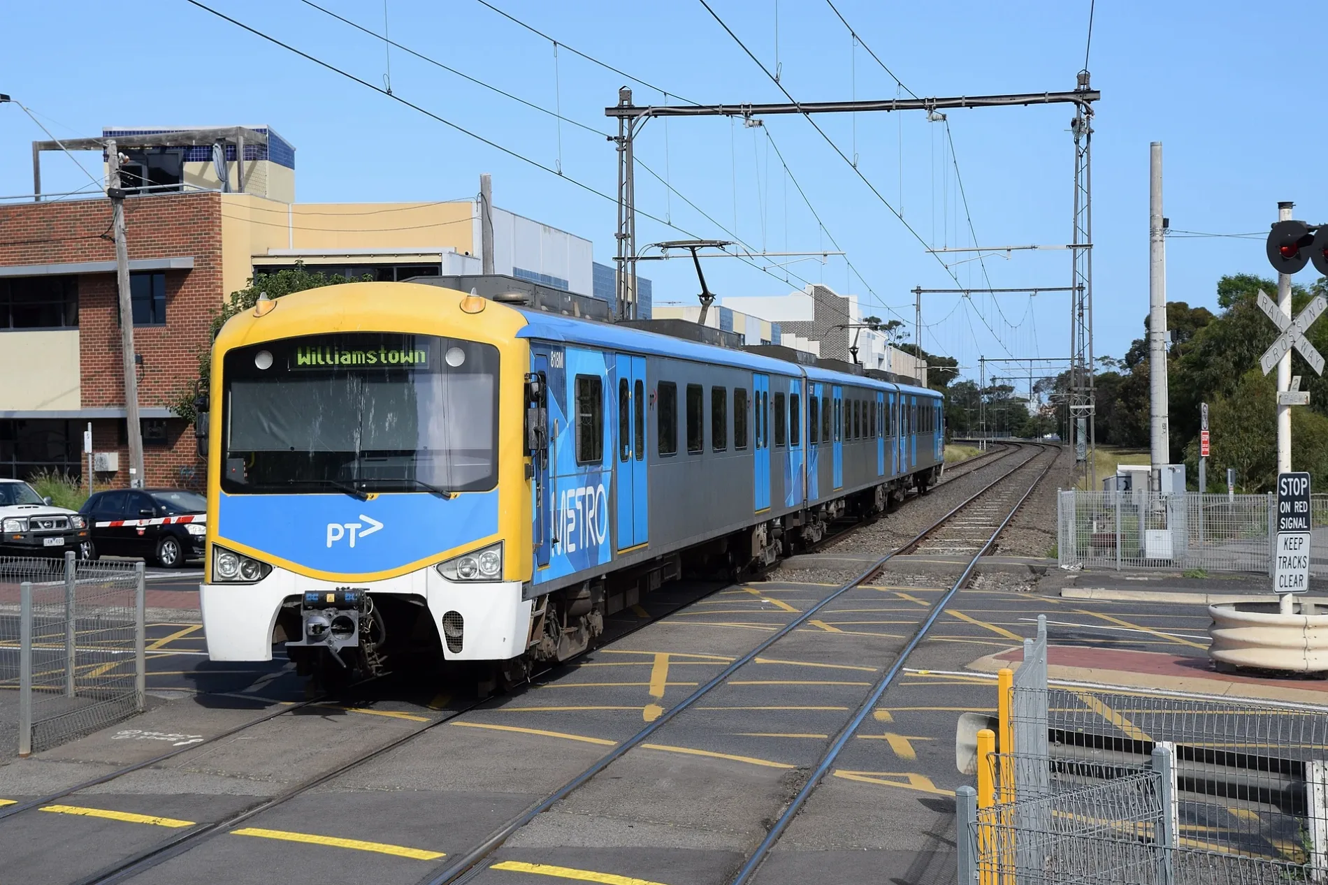
Ferguson Street in City of Frankston is a two-lane, asphalted main road (60 km/h). There is no cycle path. It runs in an east-west direction. This road is part of the long-distance roads 35 and 11. The nearest stops are North Williamstown 2 and North Williamstown 1. The bus lines 415 and 472 and the train route WIL=>SHM serve this stop. Ferguson Street also exists in Rosanna, Macleod, Abbotsford, Kew and Glen Iris.
- Road Type
- main road
- Lanes
- 2
- Speed Limit
- 60
- Route
- east-west
Image
Platforms
- bus lines 415, 472
- train routes WIL=>SHM
Roads nearby
Victoria Street50 m
Railway PlaceWilliamstown Beach rail replacement stop
100 m
Station Road100 m
Station Lane100 m
Castle Street100 m
Railway CrescentWilliamstown Beach 1, Williamstown Beach 2, Authentic Skin and Laser
150 m
Champion Road150 m
Kororoit Creek RoadWilliamstown Aquarium, Restorer's Barn
150 m
Jobson Street150 m
Collins Street150 m
Pentland Street200 m
Little Ferguson Street200 m
Burgoyne Lane250 m
Freyer Street250 m
Power Street250 m
Galatea Court300 m
Federal Street350 m
Melbourne RoadHot Wings
350 m
Hosking Street400 m
Charles Street400 m
Rosny Place450 m
Nancy Court500 m
Verdon Street500 m
Richard Street500 m
Courtis Street500 m
Russell Place500 m
Lenore Crescent550 m
President Lane550 m
College Street550 m
Rennie Street550 m
Perry Street550 m
Stevedore StreetVictoria Inn
600 m
Macquarie Street600 m
Queen Street650 m
Hotham Street650 m
Union Street650 m
John Street650 m
Albert StreetPrince Albert Hotel
700 m
Railways nearby
Newport Workshops250 m
Buildings nearby
Williamstown Town Hall600 m
Convenience stores nearby
7-Eleven200 m
Museum nearby
Newport Railway Museum300 m
Off-licences nearby
BWS100 m
Parks nearby
Gray Reserve150 m
Dennis Reserve450 m
Pubs nearby
Rifle Club Hotel100 m
Railway lines nearby
Williamstown Line200 m
Sports pitches nearby
Williamstown Croquet Club200 m
Stations nearby
North Williamstown200 m
Public transport map Newport Legend
| Railway | |
| Bus | |
| Tram |
Cycling map Newport Legend
| Cycle path | |
| Cycle lane on road | |
| Cycling on bus lane | |
| Bicycle street | |
| Cyclists allowed | |
| Cyclists allowed, good surface | |
| No cycling | |
| Cobblestones |
| Long-distance cycle route | (depending on scale) | |
| Long-distance cycle route |
Walking map Newport Legend
| Path |
| Long-distance hiking trail | (depending on scale) | |
| Long-distance hiking trail | ||
| No pedestrians |