
Victoria Street in Williamstown
Victoria Street in City of Frankston is a single-lane, asphalted tertiary road (50 km/h). It runs in a north-south direction starting from Ferguson Street and crosses Right of Way, Gellibrand Street, Little Osborne Street, Osborne Street, Coogee Lane, Knight Street, Laverton Street, Rodger Lane, Winifred Street, Collins Street and Railway Crescent. Victoria Street also exists in Bulleen, Abbotsford, Fitzroy, Brunswick and Carlton.
- Road Type
- tertiary road
- Lanes
- 1
- Route
- north-south
Image
Bus stops
- bus lines 471, 472
Off-licences
Town hall
Funeral halls
Dentist
Fast food restaurants
Supermarkets
Bakeries
Cafés
Hairdressers
Pubs
Restaurants
Bank
Newsagent's
Petrol stations
Kindergarten
Pharmacy
Roads nearby
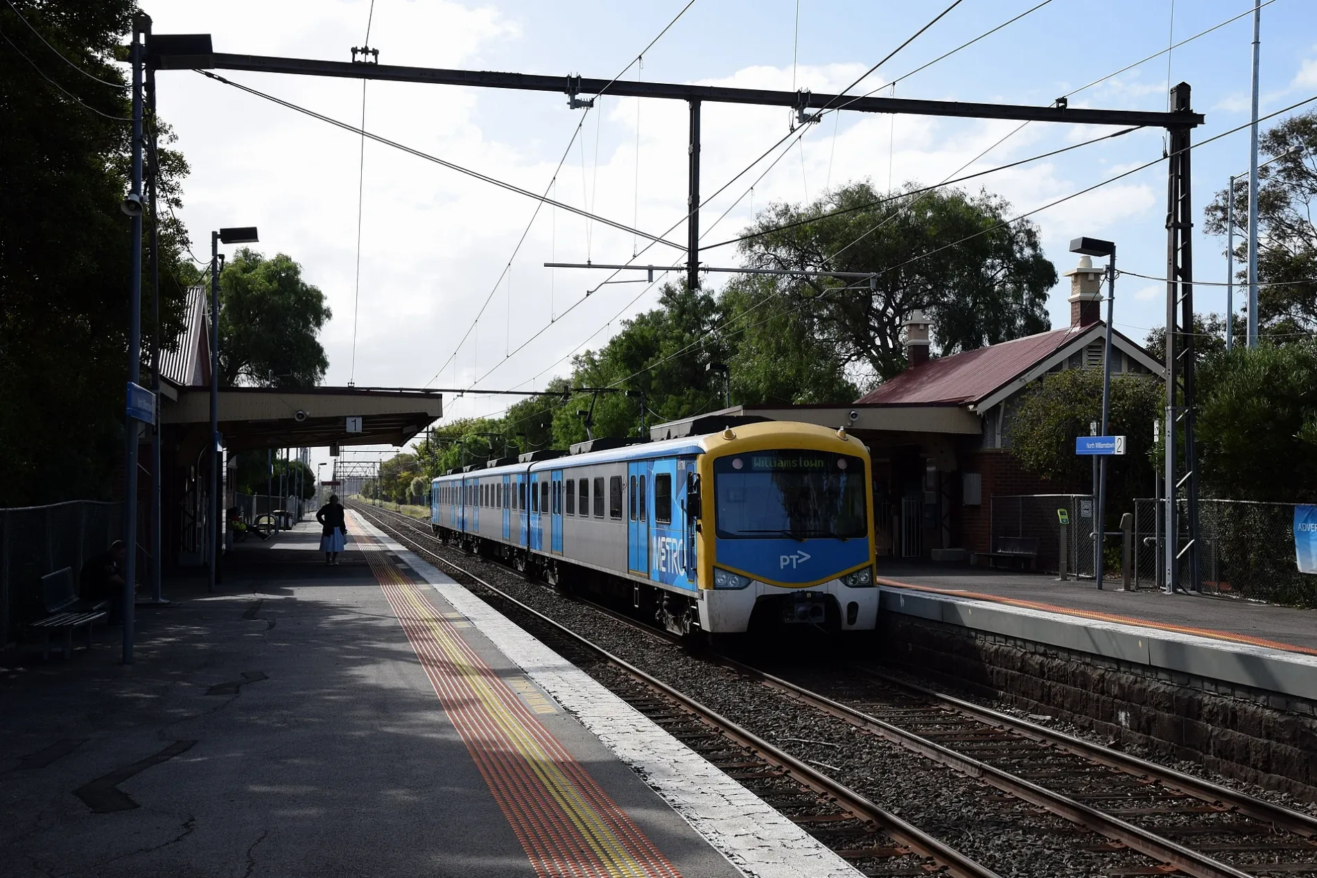
Ferguson StreetNorth Williamstown 2, North Williamstown 1
50 m
Castle Street100 m
Railway PlaceWilliamstown Beach rail replacement stop
100 m
Kororoit Creek RoadWilliamstown Aquarium, Restorer's Barn
100 m
Railway CrescentWilliamstown Beach 1, Williamstown Beach 2, Authentic Skin and Laser
100 m
Champion Road100 m
Collins Street150 m
Station Road150 m
Station Lane150 m
Jobson Street200 m
Pentland Street200 m
Little Ferguson Street250 m
Power Street300 m
Freyer Street300 m
Burgoyne Lane300 m
Galatea Court350 m
Federal Street350 m
Melbourne RoadHot Wings
400 m
Hosking Street400 m
Charles Street450 m
Rosny Place500 m
Nancy Court500 m
Verdon Street500 m
Courtis Street550 m
Richard Street550 m
President Lane550 m
Russell Place550 m
Lenore Crescent550 m
Perry Street600 m
College Street600 m
Rennie Street600 m
Stevedore StreetVictoria Inn
650 m
Macquarie Street650 m
Queen Street700 m
Hotham Street700 m
Union Street700 m
John Street700 m
Albert StreetPrince Albert Hotel
700 m
Railways nearby
Newport Workshops250 m
Buildings nearby
Williamstown Town Hall650 m
Convenience stores nearby
7-Eleven150 m
Museum nearby
Newport Railway Museum300 m
Off-licences nearby
BWS100 m
Parks nearby
Gray Reserve150 m
Dennis Reserve450 m
Pubs nearby
Rifle Club Hotel50 m
Railway lines nearby
Williamstown Line200 m
Sports pitches nearby
Williamstown Croquet Club200 m
Stations nearby
North Williamstown200 m
Public transport map Williamstown Legend
| Railway | |
| Bus | |
| Tram |
Cycling map Williamstown Legend
| Cycle path | |
| Cycle lane on road | |
| Cycling on bus lane | |
| Bicycle street | |
| Cyclists allowed | |
| Cyclists allowed, good surface | |
| No cycling | |
| Cobblestones |
| Long-distance cycle route | (depending on scale) | |
| Long-distance cycle route |
Walking map Williamstown Legend
| Path |
| Long-distance hiking trail | (depending on scale) | |
| Long-distance hiking trail | ||
| No pedestrians |