
Belgravia Street in Richmond
Belgravia Street in City of Frankston is a service road and runs in a north-south direction and ends at Swan Street, while the other end is a cul-de-sac.
- Road Type
- service road
- Route
- north-south
Image
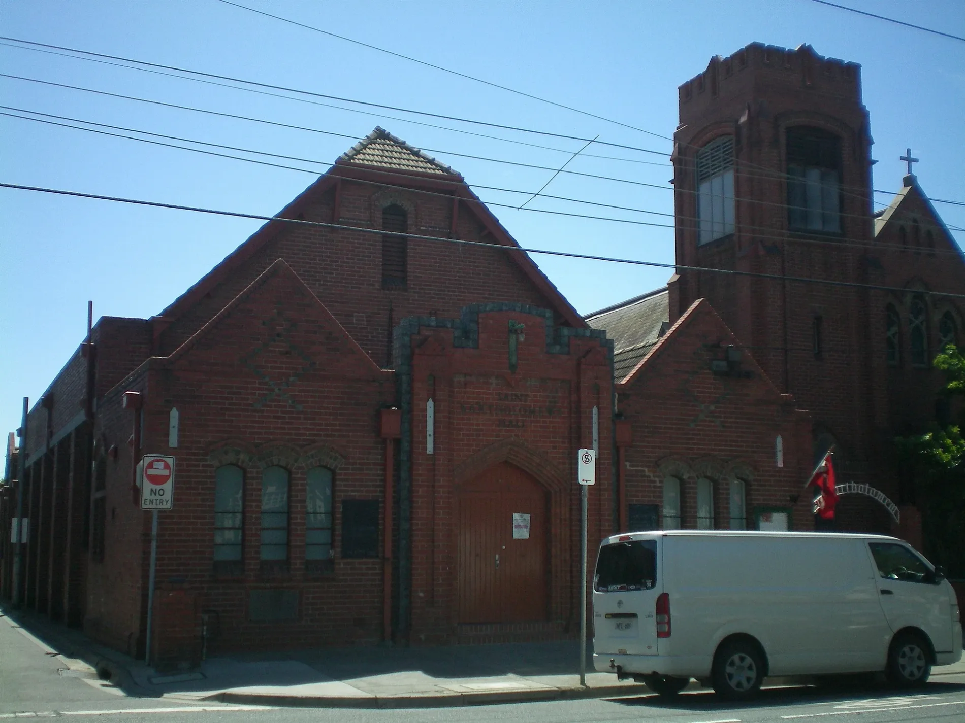
Platforms
Pubs
Tram stops
Vending machines
Car hires
Cafés
Car dealerships
Roads nearby
Queen Street100 m
Farmer Street100 m
Stawell Street100 m
Kimber Street150 m
Kennedy Avenue150 m
Gibdon Street150 m
Moore Street200 m
Bendigo StreetBendigo Street Milk Bar
200 m
Cutter Street200 m
Madden GroveBurnley 4, Burnley 3, Burnley 2, Burnley 1, Serotonin Eatery
200 m
Khartoum Street250 m
Utopia Place250 m
Platform 4250 m
Platform 3myki, Richmond 3
250 m
Platform 2myki
300 m
Platform 1300 m
Deakin LaneBeauty and the Beats
300 m
Studio Walk300 m
Barnet WaySilvs on Kennedy
350 m
Albert Place350 m
Mitchell Street350 m
Bliss Street350 m
Beissel Street350 m
Jago Street400 m
Bunting Street400 m
Wertheim Street400 m
Manton Street400 m
Hofert Lane450 m
Type Street450 m
Canterbury Street450 m
Dove Place450 m
Glasshouse Street500 m
Apartment buildings nearby
Farmer Cutter Swan200 m
Ardency Kennedy Place250 m
Bliss350 m
Glassworks450 m
Churches nearby
St Georges Church550 m
Clinics nearby
Burnley St Medical Clinic400 m
Office buildings nearby
Australia Post200 m
Parks nearby
Golden Square Bicentennial Park150 m
Platforms nearby
Platforms 1 & 2200 m
Platforms 3 & 4250 m
Railway lines nearby
Belgrave / Lilydale Line150 m
Belgrave / Lilydale / Alamein / Glen Waverley Line300 m
Religiouses nearby
Greek Orthodox Archdiocese of Australia Parish of Richmond, Hawthorn & Camberwell400 m
Residential areas nearby
Studio Nine350 m
Restaurants nearby
The Grand400 m
Sports centres nearby
Ryan's Reserve100 m
Stations nearby
Burnley200 m
Public transport map Richmond Legend
| Railway | |
| Bus | |
| Tram |
Cycling map Richmond Legend
| Cycle path | |
| Cycle lane on road | |
| Cycling on bus lane | |
| Bicycle street | |
| Cyclists allowed | |
| Cyclists allowed, good surface | |
| No cycling | |
| Cobblestones |
| Long-distance cycle route | (depending on scale) | |
| Long-distance cycle route |
Walking map Richmond Legend
| Path |
| Long-distance hiking trail | (depending on scale) | |
| Long-distance hiking trail | ||
| No pedestrians |