
Canterbury Street in Richmond
Canterbury Street in City of Frankston is an asphalted residential street. There is no cycle path. It runs in a north-south direction and crosses Boyd Street and Newry Street and ends at Beissel Street. Canterbury Street also exists in Hughesdale, Moonee Ponds, Flemington, Yarraville and Cranbourne.
- Road Type
- residential street
- Route
- north-south
Image
Cafés
Pubs
Bicycle shops
Tram stops
Furniture shops
Car hires
Massage parlours
Car dealerships
Kindergarten
Supermarkets
Roads nearby
Boyd Street50 m
Edinburgh Street100 m
Strafford Street100 m
Corsair StreetAlpha Children's Centre and Kindergarten
150 m
Boland Street200 m
Fraser Street200 m
Lord Street250 m
Dove Place250 m
Type Street250 m
Stillman Street250 m
Brady Street250 m
Hunter Street250 m
Lord Place300 m
Neptune Street350 m
Reeves Crescent400 m
Dickens Street400 m
Gardner Street500 m
Palmer Street500 m
Birch Square600 m
Koorang Lane650 m
Shops nearby
Cartridge World450 m
Georg Interiors450 m
Apartment buildings nearby
Isola Apartments500 m
Bakeries nearby
Richmond Homemade pies & cakes450 m
Bars nearby
Beer 360400 m
Beauty salons nearby
Mister Beauty400 m
Buildings nearby
AAPT Data Centre350 m
Nexus Apartments550 m
Cafés nearby
Stillman Cafe250 m
Number 1 crispy Pork400 m
Reunion & Co400 m
Lumberjack400 m
Three One Two One450 m
Good for the Gander450 m
Clover & Rye500 m
Car dealerships nearby
Kia Motors300 m
Churches nearby
St Georges Church150 m
Clinics nearby
Burnley St Medical Clinic150 m
Computer shops nearby
Digital Arts400 m
Convenience stores nearby
Milkbar50 m
Fast food restaurants nearby
Hectors Fish and Chips450 m
Fitness centres nearby
Zap Fitness450 m
Crunch Fitness550 m
Furniture shops nearby
Nature's Secret450 m
Gift shops nearby
Industrie400 m
Houseware shops nearby
Melbourne Carpets500 m
Places of worship nearby
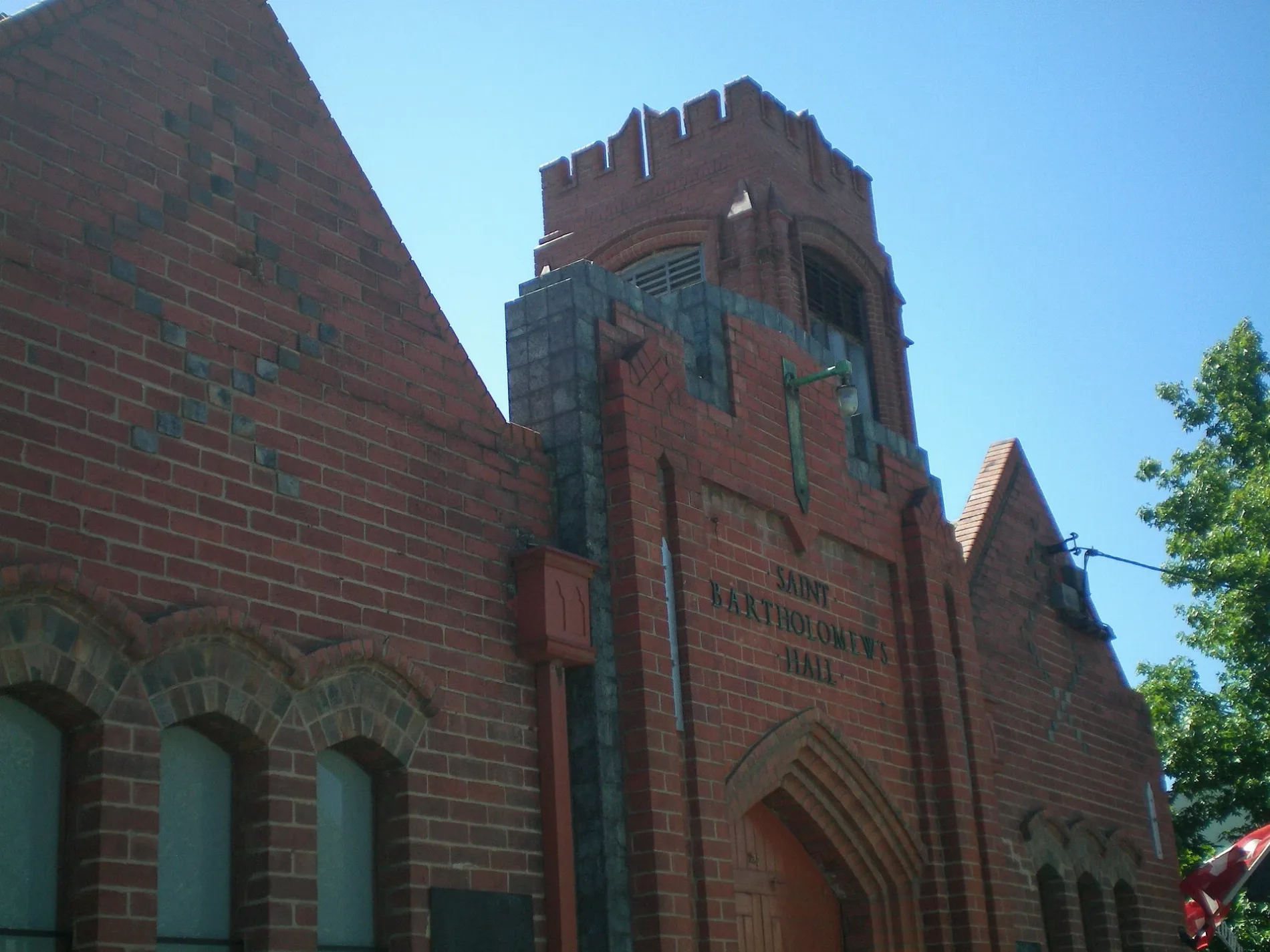
St Bartholomew's Church50 m
Pubs nearby
Royal Oak Hotel500 m
Restaurants nearby
Bouzy Rouge400 m
Ladyboy500 m
Public transport map Richmond Legend
| Railway | |
| Bus | |
| Tram |
Cycling map Richmond Legend
| Cycle path | |
| Cycle lane on road | |
| Cycling on bus lane | |
| Bicycle street | |
| Cyclists allowed | |
| Cyclists allowed, good surface | |
| No cycling | |
| Cobblestones |
| Long-distance cycle route | (depending on scale) | |
| Long-distance cycle route |
Walking map Richmond Legend
| Path |
| Long-distance hiking trail | (depending on scale) | |
| Long-distance hiking trail | ||
| No pedestrians |