
Lord Street in Richmond
Lord Street in City of Frankston is a lit residential street (40 km/h). It runs in a north-south direction starting from Bridge Road and crosses Abinger Street, Lord Place, Murray Street, Brady Street, Corsair Street, Wall Street, Boyd Street, Newry Street and Beissel Street and ends at Swan Street. This road is part of the bicycle route "Richmond East-West Route". Lord Street also exists in Doncaster East, Fawkner, Caulfield East, McKinnon and Thornhill Park.
- Road Type
- residential street
- Speed Limit
- 40
- Route
- north-south
Image
Fast food restaurants
Car hires
Petrol stations
Tram stops
Furniture shops
Car repair shops
Clothing shops
Roads nearby
Edinburgh Street150 m
Newry Street200 m
Glass Street200 m
Madden Grove200 m
Coppin StreetVietnamese Church of Christ, Richmond, Naturally U Body & Soul
200 m
Bell Street250 m
Beissel Street250 m
Benson Street300 m
Mary StreetThe Pickle And The Patty
300 m
McNamara Street300 m
Canterbury Street300 m
Swan StreetEasy Peasy Car Rentals, BP, Stop 11: East Richmond Station, Church Street, Stop 12: Coppin Street, Stop 13: Edinburgh Street, KFC, Domino's, Jai Ho, Hello World, Audi, Maison Living, Sense Of Thai, Central Club Hotel, Lambs On Richmond, Jati, Abbotsford Cycles, Richmond Club Hotel, Coles, ANZ, New Quarter - Hannoi Hannah, Avenue Bookstore, Konna Indian Cuisine, Stop 9: Lennox Street, Stop 10: Swan Street Shopping Centre, Hunky Dory Fish and Chips, The Beer & Burger Bar, Localized Organic Food Store, Grill'd, TSG Tobacco Station, White Knight Professional Dry Cleaners, Red Cross Shop, Optus, Liquorland, Cheeky Monkey, Bens 2 Dollar Plus, T&L Bakery and Cafe. Vietnamese., Feast of Merit, Picture Search Video & Vinyl, The Blacksmith, Swan Street/Punt Road, Stop 8: Richmond Station, Richmond Social, Love Pho, Thirsty Camel, Kebab House Richmond, Westpac, Swan St Roasts, Caddie, Kokoro, Shagy' Pizza, Blackhearts & Sparrows, Fargo and Co, Demitri’s Feast, Bertie's, Stop 15: Stawell Street, Stop 16: Park Grove, Stop 14: Burnley Station, Rising Sun Hotel, Zagame, Rent@Bomb
300 m
Harvey StreetRed Rooster
350 m
Bolger Place350 m
Rose Street350 m
Charles Street350 m
James Street350 m
James Scullin Court400 m
Bliss Street400 m
Duke StreetRB
400 m
Boyd Street400 m
Wall Place400 m
Wall Street400 m
Brighton Street400 m
Wiltshire StreetUnion House
400 m
Parker Street450 m
Corsair StreetAlpha Children's Centre and Kindergarten
450 m
Rooney Street450 m
Burnley Street Off Ramp450 m
Brady Street450 m
Theresa Street450 m
George Street450 m
Murray Street500 m
Lord Place500 m
Apartment buildings nearby
Bliss350 m
Buildings nearby
Metro Trains Melbourne150 m
Car dealerships nearby
Fiat & Alfa Romeo150 m
Fire stations nearby
Fire Rescue Victoria Burnley Complex450 m
Furniture shops nearby
Clu250 m
Parks nearby
Dame Nellie Melba Memorial Park500 m
Places of worship nearby
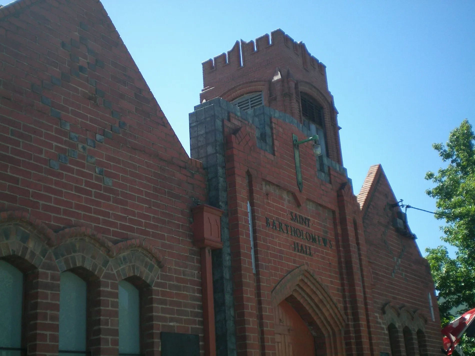
St Bartholomew's Church400 m
Platforms nearby
Platforms 3 & 4400 m
Railway lines nearby
Belgrave / Lilydale / Alamein Line200 m
Belgrave / Lilydale / Alamein / Glen Waverley Line350 m
Glen Waverley Line350 m
Residential areas nearby
Rooney & Rose400 m
Restaurants nearby
The Grand350 m
Pizzeria Da Bruno400 m
Tyre shops nearby
Tyrepower Richmond150 m
Public transport map Richmond Legend
| Railway | |
| Bus | |
| Tram |
Cycling map Richmond Legend
| Cycle path | |
| Cycle lane on road | |
| Cycling on bus lane | |
| Bicycle street | |
| Cyclists allowed | |
| Cyclists allowed, good surface | |
| No cycling | |
| Cobblestones |
| Long-distance cycle route | (depending on scale) | |
| Long-distance cycle route |
Walking map Richmond Legend
| Path |
| Long-distance hiking trail | (depending on scale) | |
| Long-distance hiking trail | ||
| No pedestrians |