
Newry Street in Richmond
Newry Street in City of Frankston is a residential street. There is no cycle path. It runs in an east-west direction starting from Lord Street and crosses Glass Street. Newry Street also exists in Carlton North, Windsor and Wollert.
- Road Type
- residential street
- Route
- east-west
Image
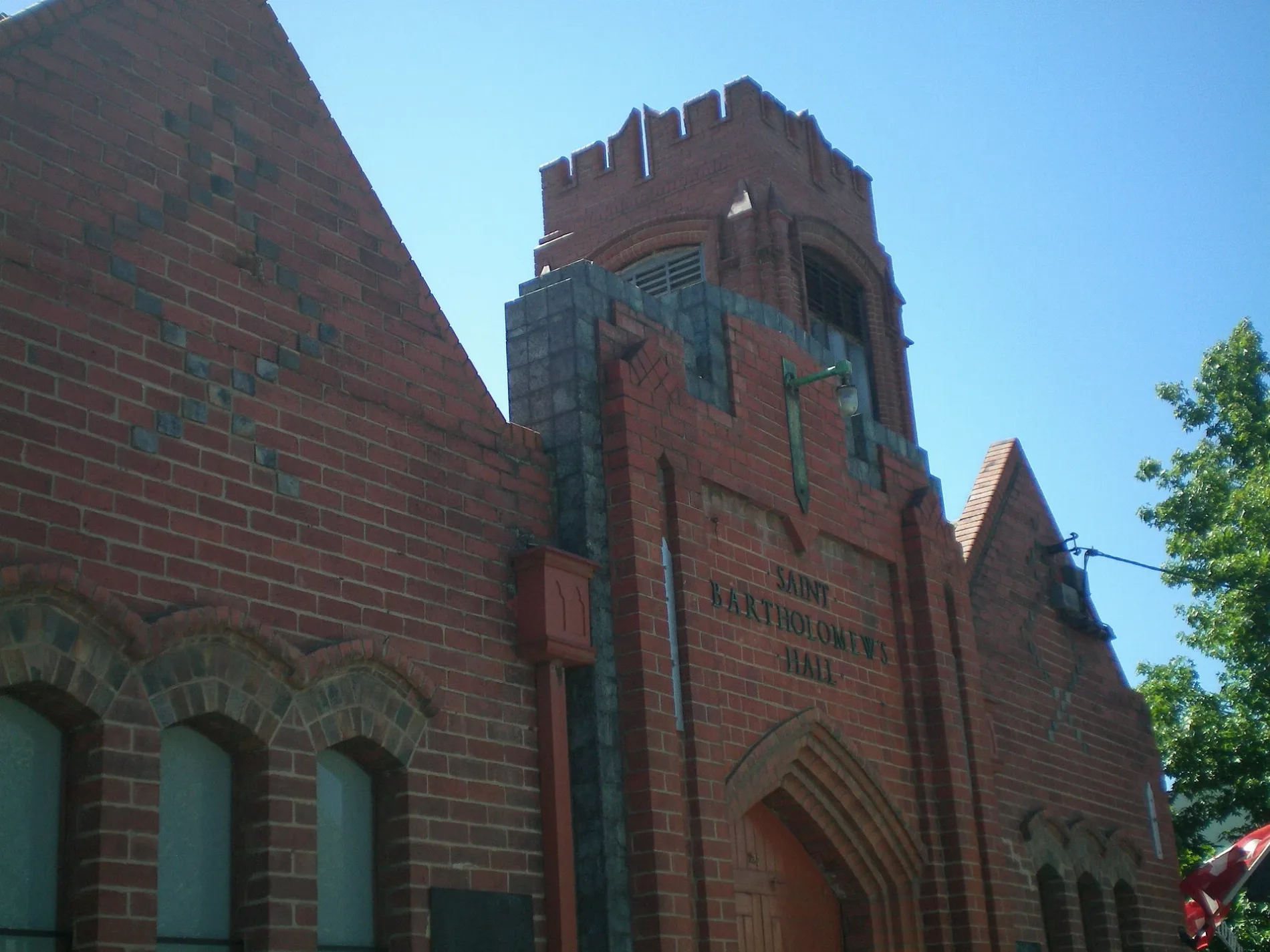
Furniture shops
Car hires
Pubs
Vending machines
Tram stops
Kindergarten
Car repair shops
Clothing shops
Roads nearby
Glass Street50 m
Edinburgh Street150 m
Canterbury Street150 m
Boyd Street250 m
Beissel Street250 m
Bliss Street250 m
Corsair StreetAlpha Children's Centre and Kindergarten
300 m
Strafford Street300 m
Swan StreetEasy Peasy Car Rentals, BP, Stop 11: East Richmond Station, Church Street, Stop 12: Coppin Street, Stop 13: Edinburgh Street, KFC, Domino's, Jai Ho, Hello World, Audi, Maison Living, Sense Of Thai, Central Club Hotel, Lambs On Richmond, Jati, Abbotsford Cycles, Richmond Club Hotel, Coles, ANZ, New Quarter - Hannoi Hannah, Avenue Bookstore, Konna Indian Cuisine, Stop 9: Lennox Street, Stop 10: Swan Street Shopping Centre, Hunky Dory Fish and Chips, The Beer & Burger Bar, Localized Organic Food Store, Grill'd, TSG Tobacco Station, White Knight Professional Dry Cleaners, Red Cross Shop, Optus, Liquorland, Cheeky Monkey, Bens 2 Dollar Plus, T&L Bakery and Cafe. Vietnamese., Feast of Merit, Picture Search Video & Vinyl, The Blacksmith, Swan Street/Punt Road, Stop 8: Richmond Station, Richmond Social, Love Pho, Thirsty Camel, Kebab House Richmond, Westpac, Swan St Roasts, Caddie, Kokoro, Shagy' Pizza, Blackhearts & Sparrows, Fargo and Co, Demitri’s Feast, Bertie's, Stop 15: Stawell Street, Stop 16: Park Grove, Stop 14: Burnley Station, Rising Sun Hotel, Zagame, Rent@Bomb
300 m
Mitchell Street350 m
Manton Street350 m
Cutter Street400 m
Boland Street400 m
Platform 4400 m
Bunting Street400 m
Platform 3myki, Richmond 3
400 m
Hofert Lane400 m
Platform 2myki
450 m
Type Street450 m
Platform 1450 m
Dove Place450 m
Studio Walk450 m
Kennedy Avenue500 m
Stawell Street500 m
Madden GroveBurnley 4, Burnley 3, Burnley 2, Burnley 1, Serotonin Eatery
500 m
Farmer Street500 m
Burnley StreetBurnley Station/Burnley Street
550 m
Utopia Place550 m
Adam Street550 m
Apartment buildings nearby
Bliss250 m
Farmer Cutter Swan400 m
Glassworks450 m
Ardency Kennedy Place500 m
Churches nearby
St Georges Church350 m
Clinics nearby
Burnley St Medical Clinic300 m
Convenience stores nearby
Milkbar300 m
Office buildings nearby
Australia Post400 m
Parks nearby
Athol J Brown Reserve500 m
Places of worship nearby
St Bartholomew's Church250 m
Platforms nearby
Platforms 3 & 4400 m
Platforms 1 & 2500 m
Railway lines nearby
Belgrave / Lilydale / Alamein Line350 m
Belgrave / Lilydale / Alamein / Glen Waverley Line400 m
Glen Waverley Line550 m
Belgrave / Lilydale Line550 m
Religiouses nearby
Greek Orthodox Archdiocese of Australia Parish of Richmond, Hawthorn & Camberwell300 m
Restaurants nearby
The Grand250 m
Sports centres nearby
Ryan's Reserve500 m
Stations nearby
Burnley550 m
Public transport map Richmond Legend
| Railway | |
| Bus | |
| Tram |
Cycling map Richmond Legend
| Cycle path | |
| Cycle lane on road | |
| Cycling on bus lane | |
| Bicycle street | |
| Cyclists allowed | |
| Cyclists allowed, good surface | |
| No cycling | |
| Cobblestones |
| Long-distance cycle route | (depending on scale) | |
| Long-distance cycle route |
Walking map Richmond Legend
| Path |
| Long-distance hiking trail | (depending on scale) | |
| Long-distance hiking trail | ||
| No pedestrians |