
Corsair Street in Richmond
Corsair Street in City of Frankston is a residential street. The road has a cycle path (shared lane markings). It runs as a one-way street in a west-east direction starting from Lord Street and crosses Hunter Street, Fraser Street, Neptune Street and Strafford Street and ends at Burnley Street. This road is part of the bicycle route "Richmond East-West Route". In the vicinity, there is a kindergarten.
- Road Type
- residential street
- Route
- east-west
Image
Kindergarten
Roads nearby
Fraser Street100 m
Edinburgh Street150 m
Lord Street150 m
Brady Street150 m
Hunter Street150 m
Strafford Street150 m
Lord Place150 m
Boyd Street150 m
Reeves Crescent250 m
Neptune Street250 m
Stillman Street250 m
Boland Street250 m
Dove Place350 m
Type Street350 m
Dickens Street350 m
Gardner Street400 m
Palmer Street450 m
Birch Square500 m
Koorang Lane550 m
Shops nearby
Georg Interiors350 m
Cartridge World400 m
Apartment buildings nearby
Isola Apartments450 m
Bakeries nearby
Richmond Homemade pies & cakes400 m
Bars nearby
Beer 360350 m
Beauty salons nearby
Mister Beauty350 m
Buildings nearby
AAPT Data Centre300 m
Nexus Apartments500 m
Cafés nearby
Stillman Cafe250 m
Reunion & Co350 m
Number 1 crispy Pork350 m
Three One Two One350 m
Lumberjack350 m
Good for the Gander350 m
Clover & Rye400 m
Car dealerships nearby
Kia Motors250 m
Churches nearby
St Georges Church200 m
Clinics nearby
Burnley St Medical Clinic250 m
Computer shops nearby
Digital Arts350 m
Convenience stores nearby
Milkbar150 m
Fast food restaurants nearby
Hectors Fish and Chips350 m
Fitness centres nearby
Zap Fitness400 m
Crunch Fitness500 m
Furniture shops nearby
Nature's Secret400 m
Gift shops nearby
Industrie350 m
Houseware shops nearby
Melbourne Carpets450 m
Places of worship nearby
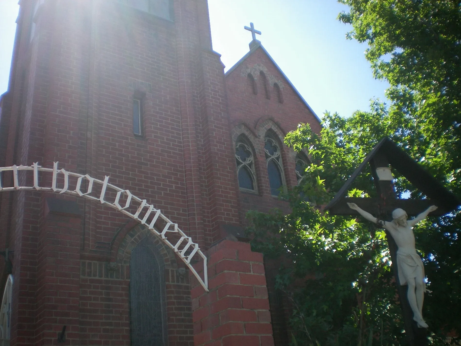
St Bartholomew's Church150 m
Pubs nearby
Royal Oak Hotel450 m
Restaurants nearby
Bouzy Rouge350 m
Ladyboy400 m
Public transport map Richmond Legend
| Railway | |
| Bus | |
| Tram |
Cycling map Richmond Legend
| Cycle path | |
| Cycle lane on road | |
| Cycling on bus lane | |
| Bicycle street | |
| Cyclists allowed | |
| Cyclists allowed, good surface | |
| No cycling | |
| Cobblestones |
| Long-distance cycle route | (depending on scale) | |
| Long-distance cycle route |
Walking map Richmond Legend
| Path |
| Long-distance hiking trail | (depending on scale) | |
| Long-distance hiking trail | ||
| No pedestrians |