
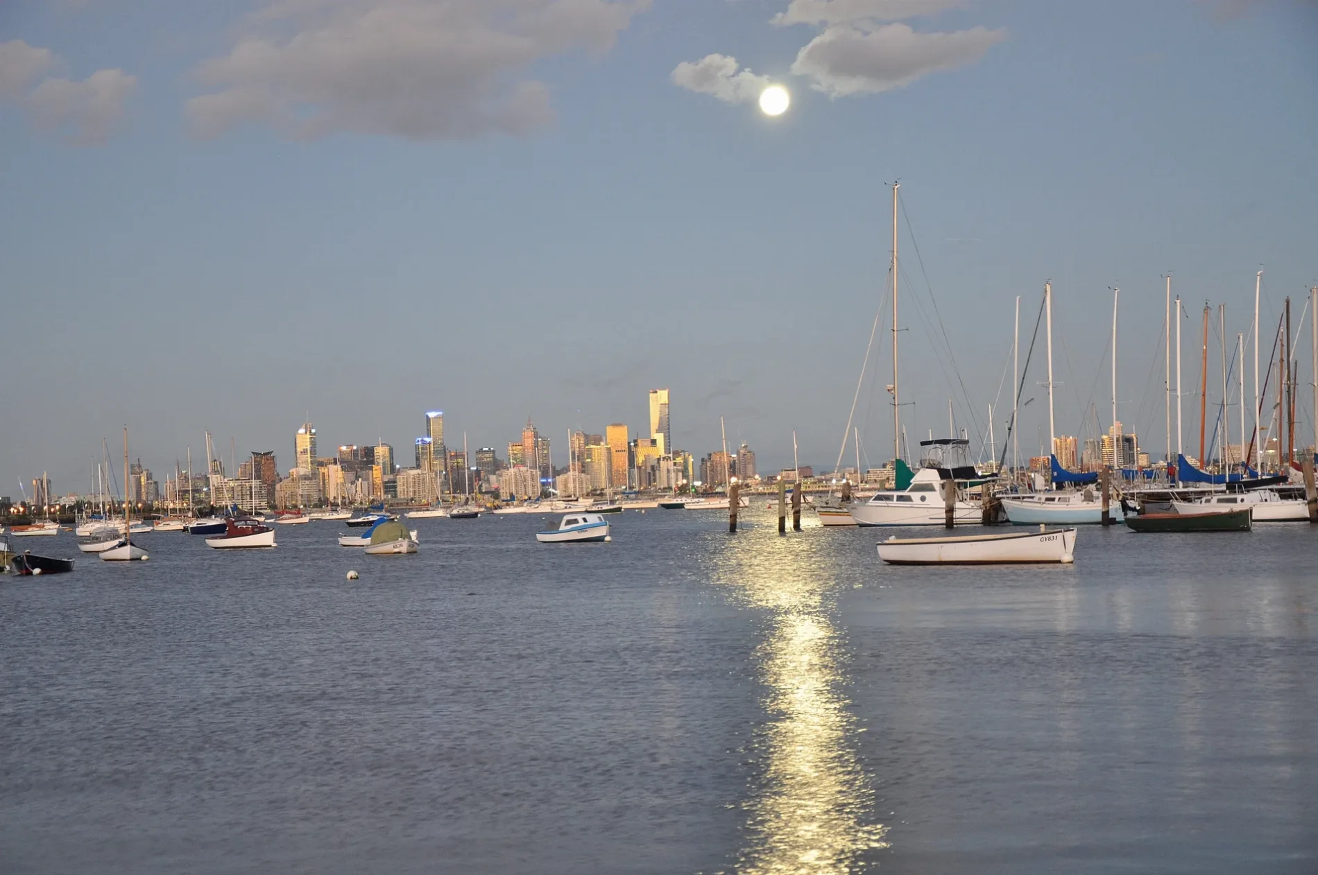
Rosseau Street in Williamstown
Rosseau Street in City of Frankston is a residential street (50 km/h) and runs in an east-west direction starting from Cecil Street and ends at Aitken Street.
- Road Type
- residential street
- Speed Limit
- 50
- Route
- east-west
Image
Cafés
Bank
Pubs
Dentist
Hairdressers
Restaurants
Pet shops
Bicycle shops
Ice cream parlours
Clothing shops
Bakeries
Places of worship
Tobacconist's
Hotels
Beauty salons
Roads nearby
Aitken StreetMym fit, Steam Packet Hotel
150 m
Maclean Street200 m
Parramatta Street200 m
Electra Street200 m
Nelson PlaceWilliamstown Mussels, Tick Tok, Nelson Nails, Scwabs Galley, Back To Basics, Souv N Brew, Sangam Tandoori, Cafe Cirino, Humsies Kitchen Williamstown, Capiz Bistro, Lukumades Williamstown, 360 Barbershop, Willi Homemade Icecream & Açai, Customs House Hotel Williamstown, A day in BKK - Williamstown, The Eminence Restaurant & Bar, Hug a Mug Cafe, Nando's, Monzarella, The Nawabi Taste, Marigold Thai, Will's Batch Ice Cream, Bayside Body & Spa Therapy, West Lake Alteration, Vietnam Bites & Coffee, Nonno's Pizzeria, West Lake Massage & Day Spa, Fong's Kitchen, Felecia, Miss La's Kitchen, Williamstown Ice Cream & Frozen Yoghurt, Mario Paul Del Grosso Hair Studio, Mario's Cultural Tour to Italy, Atomic Bar & Restaurant, Santorini Restaurant, Hola Mexico Williamstown, Holy Trinity Anglican Church
250 m
Becroft Mews250 m
Douglas ParadeWilliamstown SC, Coles, ANZ, Commonwealth Bank, NAB, Priceline Pharmacy, Bendigo Bank, Bakers Delight, Parade Deli
250 m
Jackson Street300 m
Panama Street300 m
Lyons Street300 m
Pasco StreetWilliamstown Uniting Church
300 m
Melbourne RoadHot Wings
300 m
Wellington ParadeM L B Studio
300 m
Coxs Garden300 m
Little Parker Street350 m
Bath Place350 m
Hornby Place350 m
Little Nelson Place400 m
Lenore Crescent450 m
Ferguson StreetWilliamstown Town Hall, Metro Petroleum, Poppi Williams, Dog Town, Punt Hill Apartment Hotel, The Rose Hotel, Williamstown Bakehouse, Avery & Arlo, Tsg, Crowded House, North Williamstown rail replacement stop, Westpac, Facial and Oral Surgery Clinic, Hanoi Pho
450 m
Cecil StreetRegional Farmers Markets, The Stags Head Hotel
450 m
Richard Street500 m
Perry Street500 m
Rosny Place550 m
Verdon Street550 m
Nancy Court550 m
Hanmer StreetWilliamstown rail replacement stop
550 m
Charles Street600 m
Giffard Street600 m
Langford Street650 m
Railway PlaceWilliamstown Beach rail replacement stop
650 m
Vulcan Grove650 m
Garden StreetWilliamstown Italian Social Club
700 m
Buildings nearby
Manchester Unity Hall100 m
Punshon's Store300 m
Rheola300 m
Williamstown Masonic Centre300 m
Mechanics Institute350 m
The Cronicle350 m
Williamstown Town Hall450 m
Churches nearby
St Mary's Catholic Church400 m
Libraries nearby
Williamstown Library400 m
Parks nearby
Dennis Reserve550 m
Railway lines nearby
Williamstown Line600 m
School buildings nearby
Aministration Block400 m
‘bluestone building’450 m
‘the red brick building’500 m
Stations nearby
Williamstown Beach650 m
Other nearby
Ada Cambridge Forecourt400 m
 Public transport map Williamstown Legend
| Railway | |
| Bus | |
| Tram |
 Cycling map Williamstown Legend
| Cycle path | |
| Cycle lane on road | |
| Cycling on bus lane | |
| Bicycle street | |
| Cyclists allowed | |
| Cyclists allowed, good surface | |
| No cycling | |
| Cobblestones |
| Long-distance cycle route | (depending on scale) | |
| Long-distance cycle route |
 Walking map Williamstown Legend
| Path |
| Long-distance hiking trail | (depending on scale) | |
| Long-distance hiking trail | ||
| No pedestrians |