
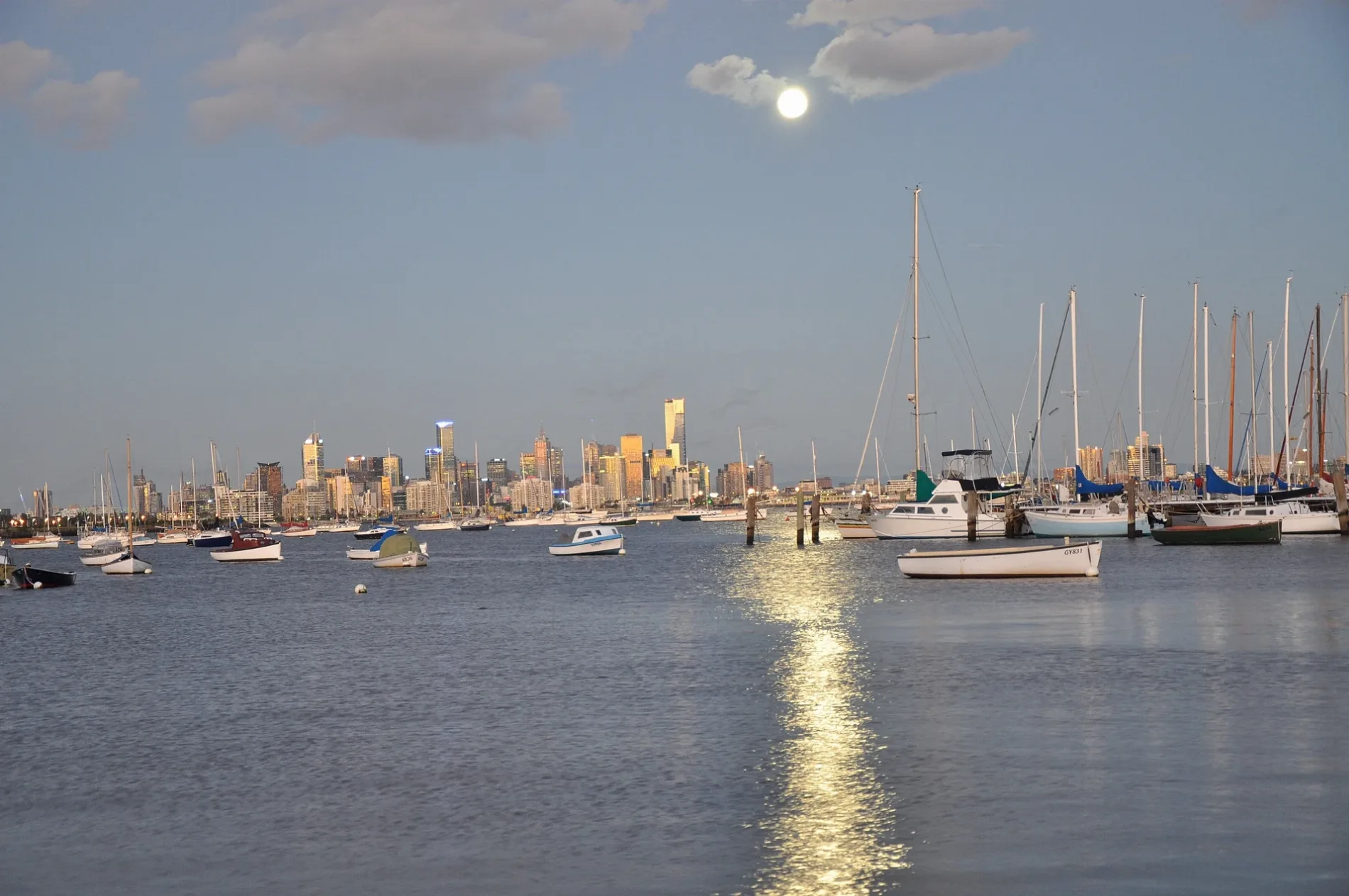
Little Parker Street in Williamstown
Little Parker Street in City of Frankston is a service road and runs in an east-west direction and ends at Aitken Street, while the other end is a cul-de-sac.
- Road Type
- service road
- Route
- east-west
Image
Ice cream parlours
Bar
Travel agencies
Tailors
Beauty salons
Restaurants
Massage parlours
Fast food restaurants
Hairdressers
Tattoo studios
Interior decorators
Pubs
Roads nearby
Little Nelson Place100 m
Parker StreetAce Açaí
100 m
Panama Street150 m
Jackson Street150 m
Cecil StreetRegional Farmers Markets, The Stags Head Hotel
200 m
Parramatta Street200 m
Cropper Place250 m
Melbourne RoadHot Wings
300 m
Aitken StreetMym fit, Steam Packet Hotel
300 m
Electra Street300 m
Hanmer StreetWilliamstown rail replacement stop
300 m
Syme StreetHobsons Bay Visitor Information Centre, Off the Pier Fish & Chippery, Melbourne Seaplanes Terminal, Pelican's Landing, Aligned Corporate Residences Williamstown
350 m
Council Lane350 m
Rosseau Street350 m
Cole StreetRequiem Tattoo Gallery, Burger Culture, Green Thumb Market, La Bodega Barbershop
350 m
Nelson PlaceWilliamstown Mussels, Tick Tok, Nelson Nails, Scwabs Galley, Back To Basics, Souv N Brew, Sangam Tandoori, Cafe Cirino, Humsies Kitchen Williamstown, Capiz Bistro, Lukumades Williamstown, 360 Barbershop, Willi Homemade Icecream & Açai, Customs House Hotel Williamstown, A day in BKK - Williamstown, The Eminence Restaurant & Bar, Hug a Mug Cafe, Nando's, Monzarella, The Nawabi Taste, Marigold Thai, Will's Batch Ice Cream, Bayside Body & Spa Therapy, West Lake Alteration, Vietnam Bites & Coffee, Nonno's Pizzeria, West Lake Massage & Day Spa, Fong's Kitchen, Felecia, Miss La's Kitchen, Williamstown Ice Cream & Frozen Yoghurt, Mario Paul Del Grosso Hair Studio, Mario's Cultural Tour to Italy, Atomic Bar & Restaurant, Santorini Restaurant, Hola Mexico Williamstown, Holy Trinity Anglican Church
350 m
Gem PierHMAS Castlemaine, Gem Pier Ferry Dock, Gem Pier Seafood
400 m
Thompson Street400 m
The Strand400 m
Steampacket Lane400 m
Stafford Place400 m
Ferguson StreetPunt Hill Apartment Hotel, The Rose Hotel, Williamstown Bakehouse, Avery & Arlo, Tsg, Crowded House, Williamstown Town Hall, Metro Petroleum, Poppi Williams, Dog Town, North Williamstown rail replacement stop, Westpac, Facial and Oral Surgery Clinic, Hanoi Pho
450 m
Maclean Street500 m
Hobsons Bay Coastal TrailPublic Toilets, Williamstown SLSC/Victoria St (Williamstown), Sebastian, Williamstown SLSC, Williamstown Esplanade, Seaworks Maritime Precinct, Wilkinson Memorial Drinking Fountain, Pier Farm
500 m
Heriot Place550 m
Pope Place550 m
Ryans LanePodium Bike Hub
600 m
James Street600 m
Buildings nearby
The Cronicle100 m
Manchester Unity Hall250 m
Customs House Hotel250 m
Mechanics Institute300 m
3rd Williamstown Scouts350 m
Parks Victoria550 m
4th Williamstown Sea Scouts600 m
Churches nearby
St Mary's Catholic Church150 m
Marinas nearby
Williamstown Marina300 m
Museum nearby
HMAS Castlemaine400 m
Parks nearby
Maclean Reserve150 m
Robertson Reserve250 m
Commonwealth Reserve250 m
Police stations nearby
Williamstown Police Station450 m
Pubs nearby
Pirates Tavern550 m
Retail areas nearby
Nelson Place Shopping150 m
School buildings nearby
‘bluestone building’250 m
Aministration Block250 m
‘the red brick building’300 m
Shelters nearby
Commonwealth Reserve Band Rotunda300 m
Sports centres nearby
Liston Tennis Club200 m
Public transport map Williamstown Legend
| Railway | |
| Bus | |
| Tram |
Cycling map Williamstown Legend
| Cycle path | |
| Cycle lane on road | |
| Cycling on bus lane | |
| Bicycle street | |
| Cyclists allowed | |
| Cyclists allowed, good surface | |
| No cycling | |
| Cobblestones |
| Long-distance cycle route | (depending on scale) | |
| Long-distance cycle route |
Walking map Williamstown Legend
| Path |
| Long-distance hiking trail | (depending on scale) | |
| Long-distance hiking trail | ||
| No pedestrians |