
Warrandyte
Warrandyte is located in City of Manningham. Around 5,541 people live here. Between 2016 and 2021, the population grew from 5,502 to 5,541. The region lies at 113 metres above sea level. Its area extends over around 17.6 square kilometres. Warrandyte has around 444 streets. The postal codes are 3113. Warrandyte is suburb of Melbourne, Victoria, Australia. Among other things, Warrandyte has public transport, restaurants, cafés, supermarkets, attractions, doctors and pharmacies.
Warrandyte – Facts
| Inhabitants | 5541 |
|---|---|
| Area | 17.6 km² |
| Elevation | 113 m |
| Located in | City of Manningham |
| Postal code | 3113 |
| Country | Australia |
| Official name | Warrandyte |
Data source: Wikidata (CC0)
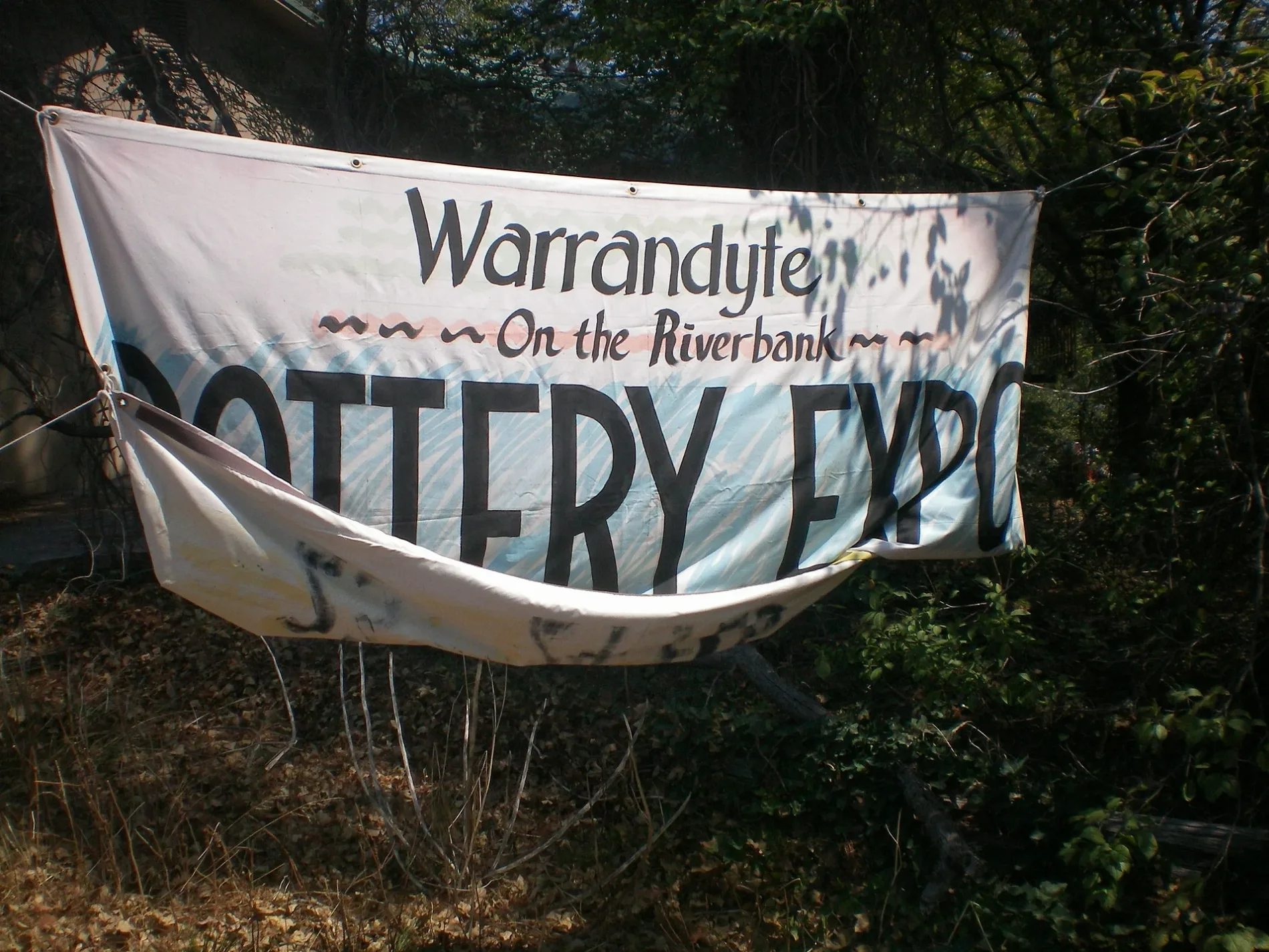
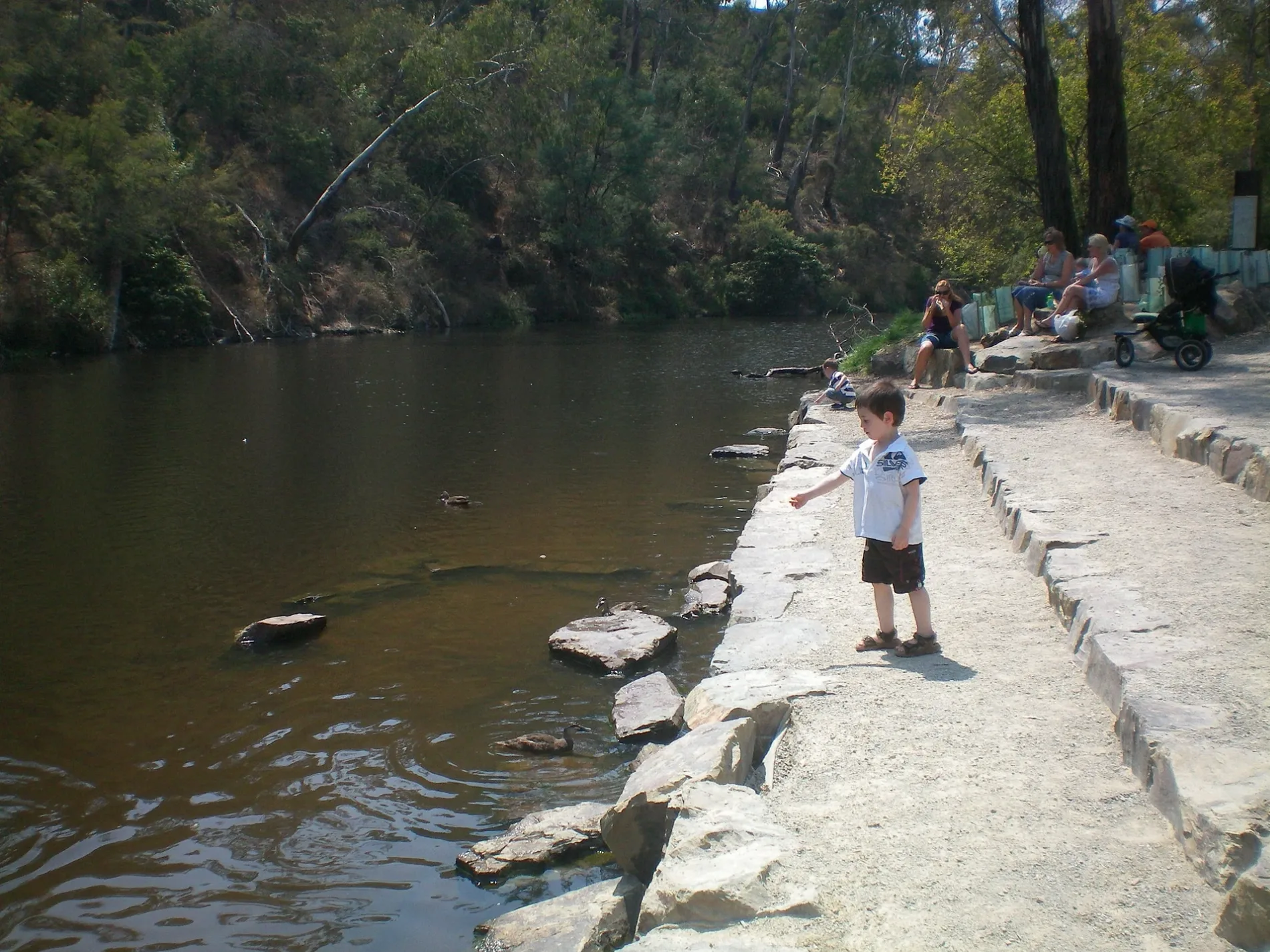
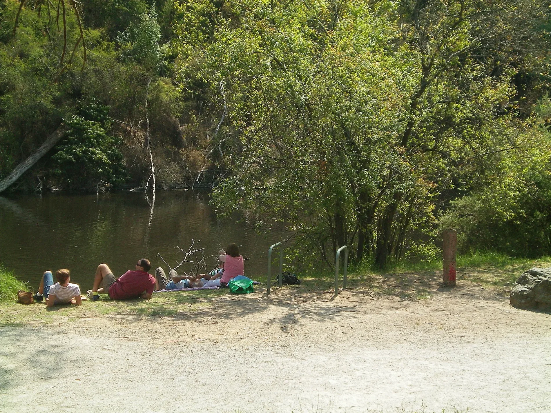
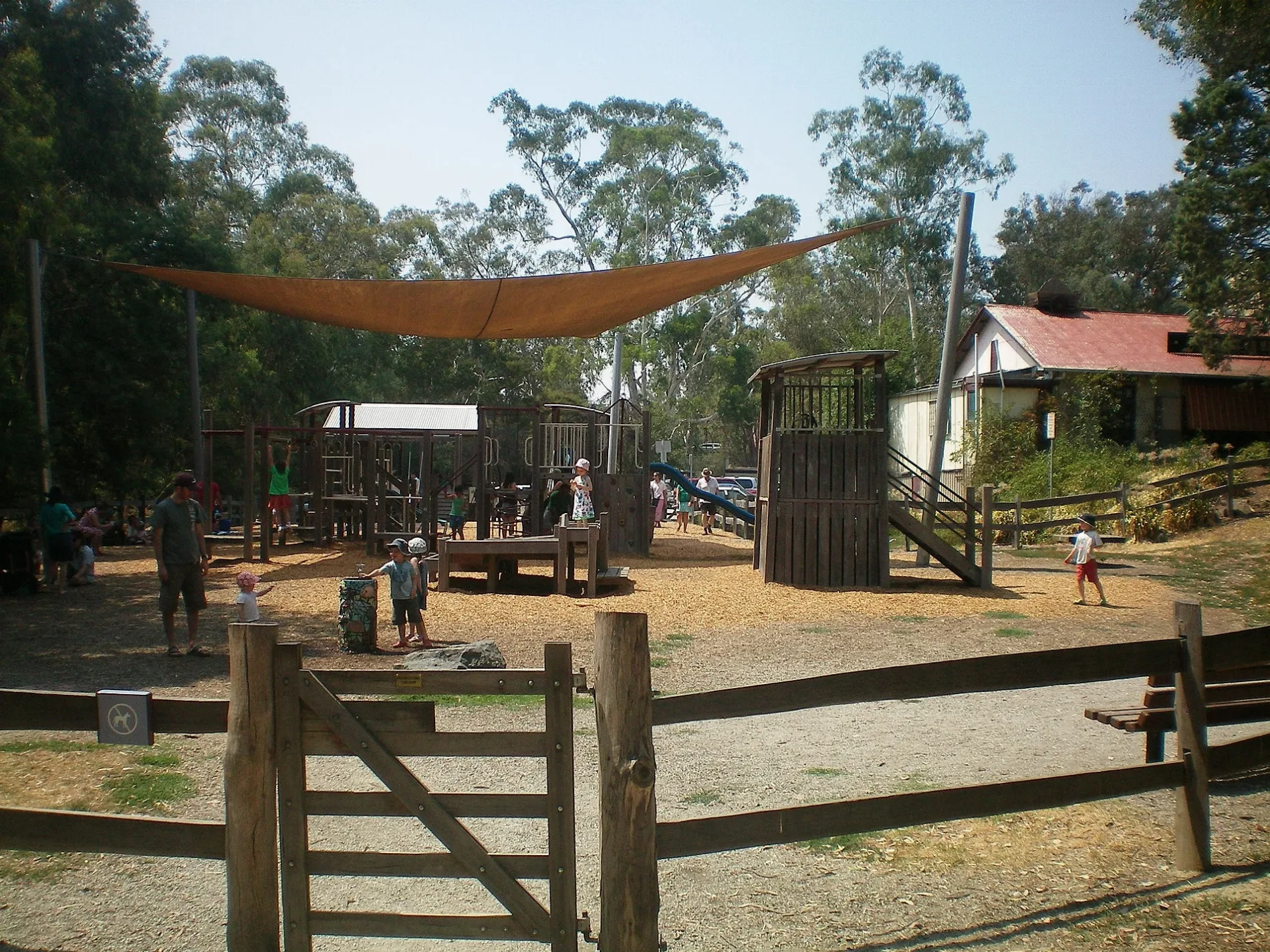
Photos from Warrandyte
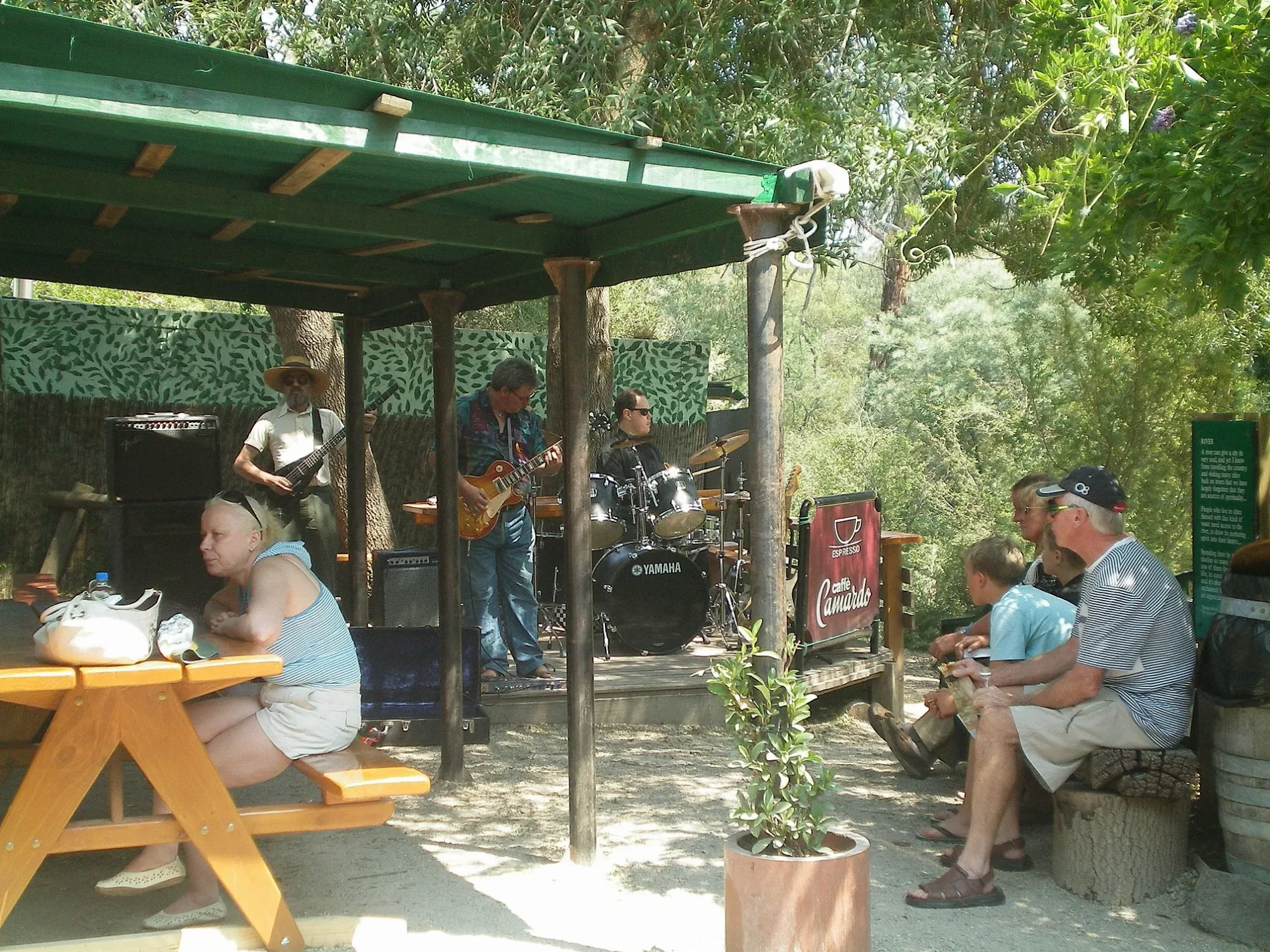
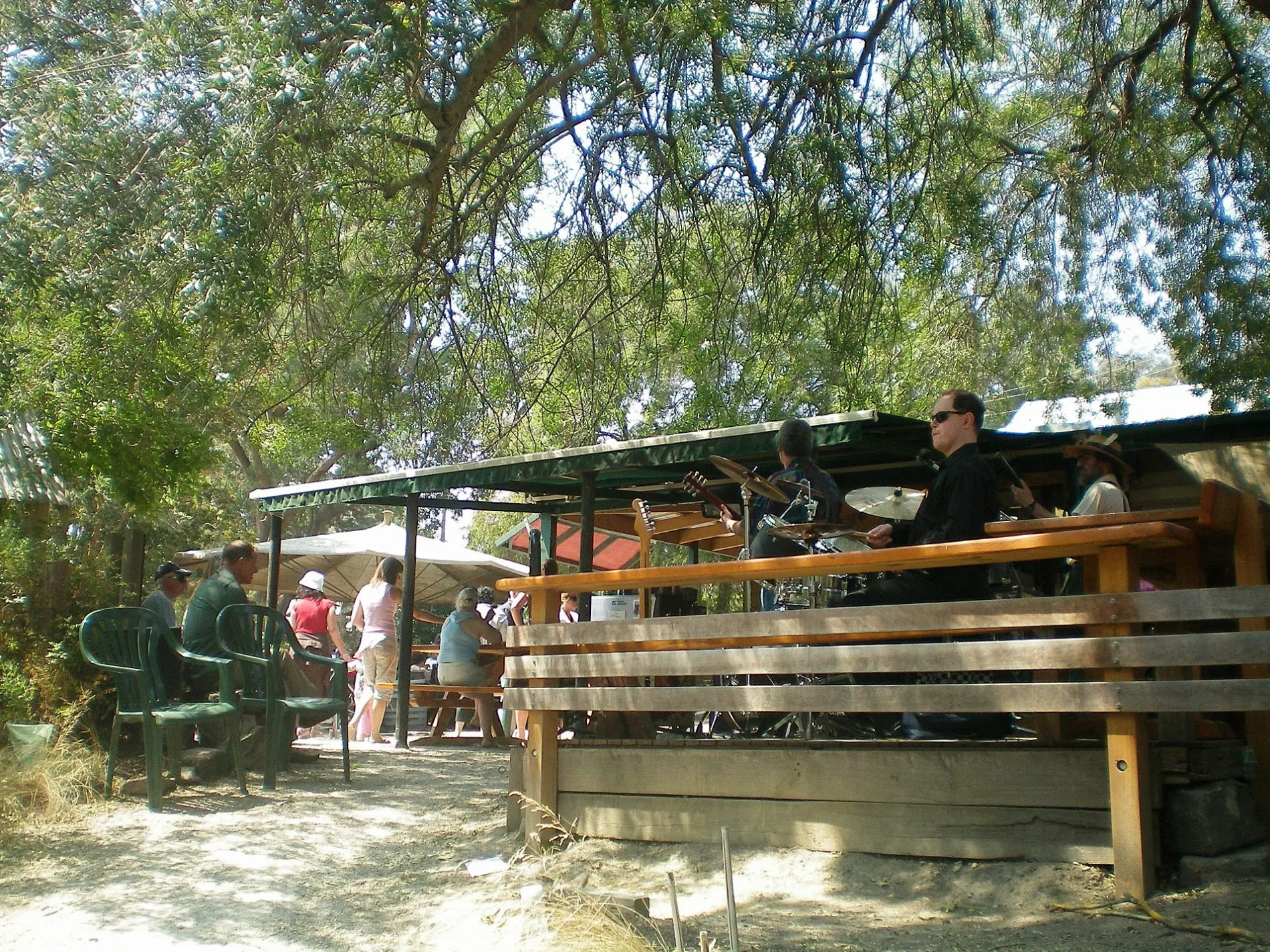
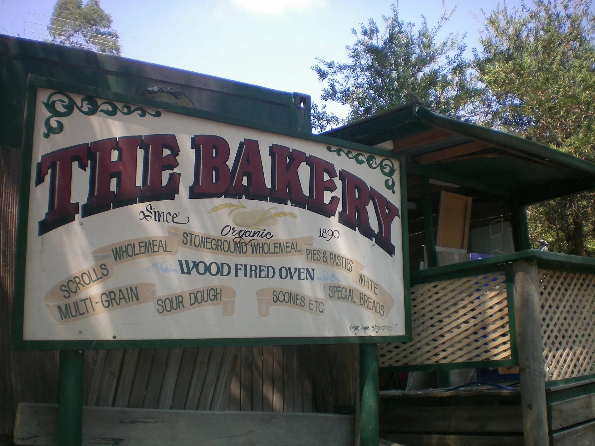
Roads in Warrandyte
Roads
Yarra Street
Trezise St/Yarra St, Everard Dr/Yarra St, Warrandyte Bridge/Yarra Street, Warrandyte Bridge/Yarra St, Blair St/Heidelberg-Warrandyte Rd, Warrandyte Community Church/Yarra St, Anderson St/Yarra St, Whipstick Gully Rd/Yarra St, Warrandyte Community Church, Warrandyte Cafe, Warrandyte Pottery: Studio & Gallery, Sassafras Sweet Co, Little Gem Cafe, Lions Club Opportunity Shop, Warrandyte Library, Webb St/Yarra St, Harris Gully Rd/Heidelberg-Warrandyte Rd, Warrandyte Stonehouse Cafe, The Yarra Store, Mullens Rd/Yarra St, Yarra St/296 Yarra St
Heidelberg-Warrandyte RoadWarrandyte Reserve/Heidelberg-Warrandyte Rd, 393 Warrandyte Rd, Melbourne Hill Rd/Warrandyte Rd, Mahoneys Ct/Warrandyte Rd, Oakland Dr/Warrandyte Rd, Batskos Dr/Heidelberg-Warrandyte Rd, Batskos Dr/Warrandyte Rd, Warrandyte Rd/26 Warrandyte Rd, Lynette Avenue Reserve/Warrandyte Rd, 21 Warrandyte Rd, TerryWhite Chemmart, Biddick’s Bakery, Warrandyte High School/Heidelberg-Warrandyte Rd
Ringwood - Warrandyte RoadJohansons Rd/Warrandyte-Ringwood Rd, Harding Rd/Warrandyte-Ringwood Rd, Harding Rd/Ringwood-Warrandyte Rd, Johansons Rd/Warrandyte - Ringwood Rd, Jumping Creek Rd/Warrandyte-Ringwood Rd, Hogan Ave/Ringwood-Warrandyte Rd, Warran Glen Gift Shop, Godfrey Ave/Warrandyte-Ringwood Rd, Pigtail Rd/Ringwood-Warrandyte Rd, Masonic Ave/Ringwood-Warrandyte Rd, Masonic Ave/Warrandyte-Ringwood Rd, Warrandyte Berry Farm, Royden Rd/Warrandyte-Ringwood Rd
Main Yarra Trail ExtensionPound Rd/Warrandyte Rd, Warrandyte High School/Warrandyte Rd
Drysdale RoadQuintons SUPA IGA, Public Toilets
Colin AvenueBocca Family Pizza, Warrandyte LPO
West End RoadWarrandyte Uniting Church
Everard DrivePound Bend Tunnel Entrance
Mitchell AvenueWarrandyte Mechanics Institute & Arts Association
Webb StreetBoulder
McCulloch StreetSt. Gerard's
Royden RoadRoyden Rd/Ringwood-Warrandyte Rd
Trezise StreetWarrandyte Medical Centre
Jumping Creek RoadWarran Glen Cafe
Alexander RoadLongridge Camp Site
Taroona AvenueWarrandyte & District Pre-school
Masonic AvenueWarrandyte Childcare And Preschool Centre
Husseys LaneShell
Stiggant StreetSt Stephen's
Paul's track
Karen Court
Manna Gum Rise
Pound Bend Road
Roselillian Court
Harding Road
Meaka Court
Harris Gully Road Service Road
Wildflower Court
Magpie Lane
Cemetery Road
Waterman Track
Melbourne Hill Road
Betton Track
Lomond Court
Mossy Creek Slope
McPherson Road
Cedar Rise
Police Street
The Rise
Haslams Track
Gold Nugget Rise
Main Yarra Trail
Pigtail Road
Webb Close
Rivulet Place
Brackenbury Track
Brett Street
Wildcat Gully Track
Aylesbury Way
Shelagh Court
Centre Track
Mopoke Hill Road
Whipstick Gully Track
Godfrey Avenue
Batskos Drive
Tank Track
Cockatoo Lane
Alan Place
Leber Street
Tills DriveBody of waters
Buildings
Campsite
Cemeteries
Events venues
Fast food restaurants
Forests
Horse ridings
Police stations
Quarries
Restaurants
Rivers
Public transport map Warrandyte Legend
| Railway | |
| Bus | |
| Tram |
Cycling map Warrandyte Legend
| Cycle path | |
| Cycle lane on road | |
| Cycling on bus lane | |
| Bicycle street | |
| Cyclists allowed | |
| Cyclists allowed, good surface | |
| No cycling | |
| Cobblestones |
| Long-distance cycle route | (depending on scale) | |
| Long-distance cycle route |
Walking map Warrandyte Legend
| Path |
| Long-distance hiking trail | (depending on scale) | |
| Long-distance hiking trail | ||
| No pedestrians |