
Mitchell Avenue in Warrandyte
Mitchell Avenue in City of Manningham is a residential street. It runs in a southeast-northwest direction starting from Yarra Street and crosses Brackenbury Street and ends at Magpie Lane. In the vicinity, there is a theatre. The nearest bus stop in the vicinity is Warrandyte Bridge/Yarra St (approx. 150 m away). Mitchell Avenue also exists in City of Banyule, City of Hobsons Bay, City of Monash, City of Knox and Rural City of Wangaratta.
- Road Type
- residential street
- Route
- southeast-northwest
Image
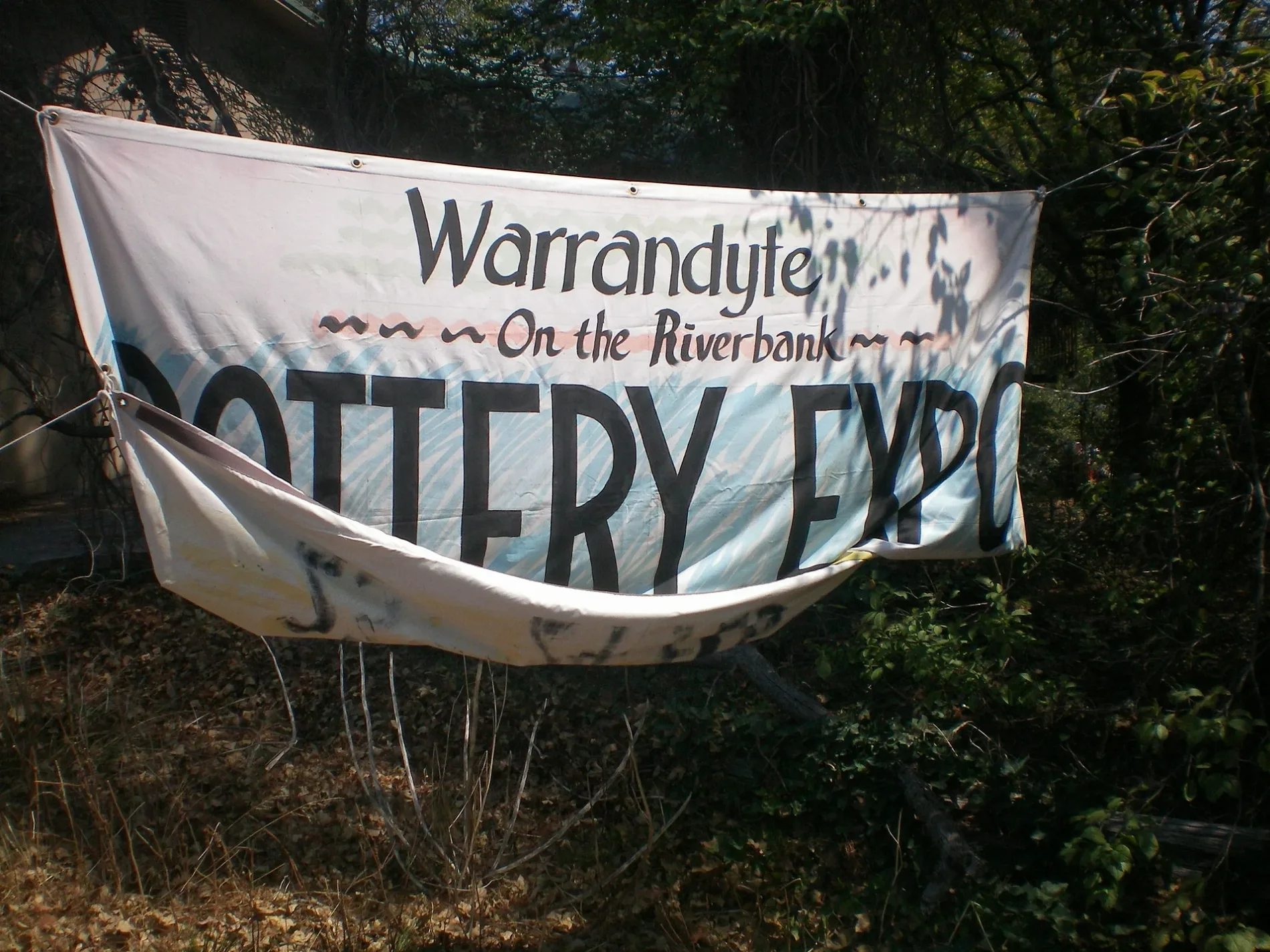
Theatres
Roads nearby
Sloans Road200 m
Kangaroo Ground - Warrandyte Road200 m
Yarra StreetWarrandyte Bridge/Yarra Street, Trezise St/Yarra St, Everard Dr/Yarra St, Warrandyte Bridge/Yarra St, Blair St/Heidelberg-Warrandyte Rd, Warrandyte Community Church/Yarra St, Anderson St/Yarra St, Whipstick Gully Rd/Yarra St, Warrandyte Community Church, Warrandyte Cafe, Warrandyte Pottery: Studio & Gallery, Sassafras Sweet Co, Little Gem Cafe, Lions Club Opportunity Shop, Warrandyte Library, Webb St/Yarra St, Harris Gully Rd/Heidelberg-Warrandyte Rd, Warrandyte Stonehouse Cafe, The Yarra Store, Mullens Rd/Yarra St, Yarra St/296 Yarra St
250 m
Brackenbury StreetWarrandyte
250 m
David Road300 m
Magpie Lane350 m
Whipstick Gully Road350 m
Research - Warrandyte RoadWeerona Way/Research-Warrandyte Rd, North Warrandyte
400 m
Mullens Road450 m
Lomatia Court450 m
Bruce Bence Track600 m
Whipstick Gully Track600 m
Brackenbury Track650 m
Anderson Street650 m
Waterman Track700 m
School Track750 m
Beveridge Street800 m
Bakeries nearby
House Of Gingerbread200 m
The Bakery Warrandyte250 m
Banks nearby
Bendigo Bank300 m
Beauty salons nearby
Yarra Day Spa300 m
Warrandyte Beauty Centre350 m
Bookshops nearby
Yarra Cottage Books300 m
Buildings nearby
Warrandyte RSL Club150 m
Yarra View Shopping centre200 m
Warrandyte Mechanics' Institute200 m
Cafés nearby
Field Day Pantry250 m
Cocoa Moon250 m
Now and Not Yet300 m
Clothing shops nearby
Gently Held Vintage Boutique200 m
Dental practices nearby
Warrandyte Dental350 m
Events venues nearby
Next Door300 m
Fast food restaurants nearby
Ruffles Burgers & Grill250 m
Fitness centres nearby
The Reformer Room250 m
Forests nearby
Yarra River Water Frontage800 m
Gallery nearby
Stonehouse Gallery400 m
Hairdresser's nearby
Essentially Hair by Emma350 m
Interior decorators nearby
Interiors by Riveresque300 m
Museum nearby
Warrandyte Historical Society350 m
Office buildings nearby
Fletchers250 m
Playgrounds nearby
Federation Playspace250 m
Pubs nearby
The Grand Hotel Warrandyte300 m
Quarries nearby
Whipstick Gully Quarry400 m
Restaurants nearby
ember250 m
Nardee Indian Restaurant300 m
Retail buildings nearby
Evimero Finance250 m
Veterinary practices nearby
North Warrandyte Veterinary Clinic300 m
Woodlands nearby
Warrandyte River Reserve250 m
Warrandyte State Park350 m
Public transport map Warrandyte Legend
| Railway | |
| Bus | |
| Tram |
Cycling map Warrandyte Legend
| Cycle path | |
| Cycle lane on road | |
| Cycling on bus lane | |
| Bicycle street | |
| Cyclists allowed | |
| Cyclists allowed, good surface | |
| No cycling | |
| Cobblestones |
| Long-distance cycle route | (depending on scale) | |
| Long-distance cycle route |
Walking map Warrandyte Legend
| Path |
| Long-distance hiking trail | (depending on scale) | |
| Long-distance hiking trail | ||
| No pedestrians |