
Khartoum Street in Richmond
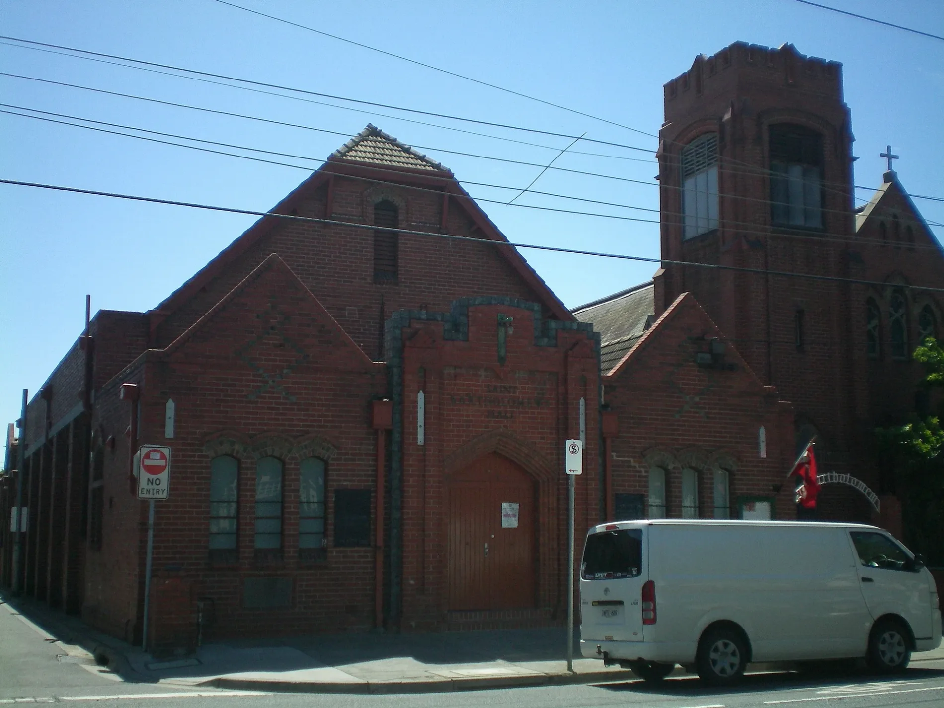
Khartoum Street in City of Yarra is a residential street (50 km/h). There is no cycle path. It runs in an east-west direction starting from Stawell Street and crosses Kennedy Avenue and Deakin Lane and ends at Bendigo Street. Khartoum Street also exists in City of Maribyrnong and City of Glen Eira.
- Road Type
- residential street
- Speed Limit
- 50
- Route
- east-west
Image
Platforms
Pubs
Tram stops
Shoe shops
Vending machines
Cafés
Car dealerships
Car hires
Roads nearby
Deakin LaneBeauty and the Beats
50 m
Barnet WaySilvs on Kennedy
150 m
Studio Walk150 m
Moore Street150 m
Jago Street150 m
Kennedy Avenue150 m
Farmer Street150 m
Albert Place150 m
Brooks Street200 m
Wertheim Street200 m
Kimber Street200 m
Bunting Street200 m
Belgravia Street250 m
Mitchell Street250 m
Queen Street250 m
Manton Street250 m
Hofert Lane250 m
Glasshouse Street300 m
Bliss Street300 m
Dove Place300 m
Cutter Street300 m
Type Street300 m
Burnley StreetRed Wing Shoes, Be The Duck, Keith's Pies, Modena, Prest Laundry
350 m
Boland Street400 m
Beissel Street400 m
Madden GroveBurnley 4, Burnley 3, Burnley 2, Burnley 1, Serotonin Eatery
400 m
Utopia Place450 m
Railways nearby
Platform 4350 m
Platform 1400 m
Platform 3myki, Richmond 2
400 m
Platform 2myki
400 m
Apartment buildings nearby
Ardency Kennedy Place50 m
Farmer Cutter Swan300 m
Glassworks300 m
Bliss300 m
Clinics nearby
Burnley St Medical Clinic300 m
Office buildings nearby
Australia Post350 m
Parks nearby
Golden Square Bicentennial Park350 m
Places of worship nearby
The Holy Trinity300 m
St Georges Uniting Church400 m
Railway lines nearby
Glen Waverley Line350 m
Belgrave / Lilydale Line350 m
Burnley Through Lines350 m
Burnley Local Lines400 m
Religiouses nearby
Greek Orthodox Archdiocese of Australia Parish of Richmond, Hawthorn & Camberwell300 m
Residential areas nearby
Studio Nine200 m
Restaurants nearby
The Grand300 m
Sports centres nearby
Ryan's Reserve250 m
Stations nearby
Burnley350 m
Public transport map Richmond Legend
| Railway | |
| Bus | |
| Tram |
Cycling map Richmond Legend
| Cycle path | |
| Cycle lane on road | |
| Cycling on bus lane | |
| Bicycle street | |
| Cyclists allowed | |
| Cyclists allowed, good surface | |
| No cycling | |
| Cobblestones |
| Long-distance cycle route | (depending on scale) | |
| Long-distance cycle route |
Walking map Richmond Legend
| Path |
| Long-distance hiking trail | (depending on scale) | |
| Long-distance hiking trail | ||
| No pedestrians |