
Harrow Terrace in Vasse
Harrow Terrace in City Of Busselton is an asphalted, lit residential street (50 km/h). It runs in a north-south direction starting from Campbell Boulevard and ends at Heritage Drive.
- Road Type
- residential street
- Speed Limit
- 50
- Route
- north-south
Image
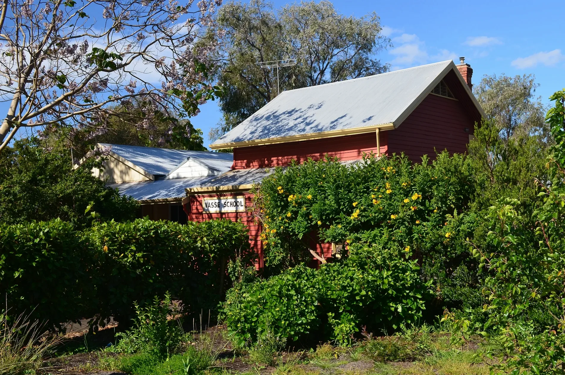
Petrol stations
Beauty salons
Farm supplies shops
Roads nearby
Campbell Boulevard50 m
Sickle Drive100 m
Ginko Lane150 m
Chaffcutter Lane150 m
Sythe Lane200 m
Elijah Circle200 m
Arnup Drive200 m
Baler Drive200 m
Winnow Lane250 m
Dowell Road250 m
Orlando Boulevard300 m
Heritage Drive300 m
Hayrake Drive300 m
Massey Drive300 m
Vasse Primary School North Path300 m
Pearson Drive300 m
Shearbolt Lane300 m
Busselton Bypass Shared Path350 m
Cart Close350 m
Plough Crescent400 m
Harvester Promenade400 m
Sapium Lane400 m
Ganges Lane400 m
Northerly StreetGull, Vasse
450 m
Clydesdale Drive450 m
Keilly Boulevard450 m
Kaloorup Road450 m
Slasher Lane450 m
Busselton Bypass450 m
Vasse Boundary Link450 m
Oaks Drive500 m
Parksview Boulevard500 m
Agonis Drive500 m
Milligan Way550 m
Vasse Boundary Path550 m
Tortoise Rise550 m
Rosa Lane550 m
Hebe Lane600 m
Laterite Lane600 m
Carriage Terrace650 m
Abelia Lane700 m
Cockatoo Loop750 m
Buildings nearby
Old Stone Cottage650 m
Convenience stores nearby
Vasse General Store300 m
Fast food restaurants nearby
McDonald's400 m
Parks nearby
Kaloorup Road Oval300 m
Petrol stations nearby
Coles Express400 m
Residential areas nearby
Vasse Newtown650 m
Retail areas nearby
Vasse Village350 m
 Public transport map Vasse Legend
| Railway | |
| Bus | |
| Tram |
 Cycling map Vasse Legend
| Cycle path | |
| Cycle lane on road | |
| Cycling on bus lane | |
| Bicycle street | |
| Cyclists allowed | |
| Cyclists allowed, good surface | |
| No cycling | |
| Cobblestones |
| Long-distance cycle route | (depending on scale) | |
| Long-distance cycle route |
 Walking map Vasse Legend
| Path |
| Long-distance hiking trail | (depending on scale) | |
| Long-distance hiking trail | ||
| No pedestrians |