
Kaloorup Road in Vasse
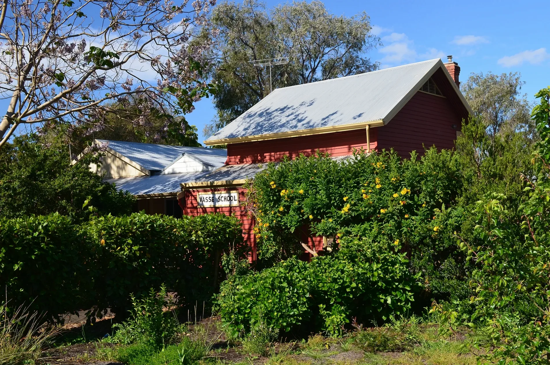
Kaloorup Road in City Of Busselton is a lit minor road. It runs in a north-south direction and crosses Gale Road, Price Road, Chilvers Place, Adams Road, Payne Road, Hairpin Road, Florence Road, Rendezvous Road and Harvester Promenade and ends at Slasher Lane, while the other end is a cul-de-sac. It connects Vasse, Boallia, Jindong and Kaloorup.
- Road Type
- minor road
- Route
- north-south
Image
Petrol stations
Bakeries
Farm supplies shops
Beauty salons
Off-licences
Waste transfer stations
Roads nearby
Slasher Lane50 m
Harvester Promenade150 m
Heritage Drive200 m
Pearson Drive250 m
Vasse Primary School North Path350 m
Cape Naturaliste College Link350 m
Yebble Drive400 m
Newtown Close450 m
Harrow Terrace450 m
Campbell Boulevard450 m
Ginko Lane450 m
Florence Road500 m
Sythe Lane500 m
Sickle Drive550 m
Baler Drive550 m
Chaffcutter Lane550 m
Arnup Drive600 m
Elijah Circle600 m
Hayrake Drive600 m
Shearbolt Lane650 m
Orlando Boulevard650 m
Busselton Bypass Shared Path650 m
Tillage Lane650 m
Dowell Road650 m
Minion Court650 m
Wadandi Track650 m
Winnow Lane650 m
Plough Crescent700 m
Massey Drive700 m
Birak Lane700 m
Buayanyup Drain Shared Path750 m
Cart Close750 m
Napoleon PromenadeRenew Skin & Beauty, Vasse Bakery, Liquorland
750 m
Northerly StreetGull, Vasse
800 m
Ganges Lane800 m
Data Way850 m
Denman Lane850 m
Busselton Bypass West Rotary850 m
Warrior Court850 m
Coomidup Boulevard850 m
Community centres nearby
Vasse Hall300 m
Convenience stores nearby
Vasse General Store550 m
Fast food restaurants nearby
McDonald's750 m
Parks nearby
Kaloorup Road Oval300 m
Petrol stations nearby
Coles Express700 m
Recreation grounds nearby
Vasse Oval750 m
Residential areas nearby
Vasse750 m
Retail areas nearby
Vasse Village650 m
Supermarkets nearby
Coles750 m
 Public transport map Vasse Legend
| Railway | |
| Bus | |
| Tram |
 Cycling map Vasse Legend
| Cycle path | |
| Cycle lane on road | |
| Cycling on bus lane | |
| Bicycle street | |
| Cyclists allowed | |
| Cyclists allowed, good surface | |
| No cycling | |
| Cobblestones |
| Long-distance cycle route | (depending on scale) | |
| Long-distance cycle route |
 Walking map Vasse Legend
| Path |
| Long-distance hiking trail | (depending on scale) | |
| Long-distance hiking trail | ||
| No pedestrians |