
Yebble Drive in Vasse
Yebble Drive in City Of Busselton is an asphalted residential street. It runs in an east-west direction and crosses Northerly Street. It ends in a cul-de-sac.
- Road Type
- residential street
- Route
- east-west
Image
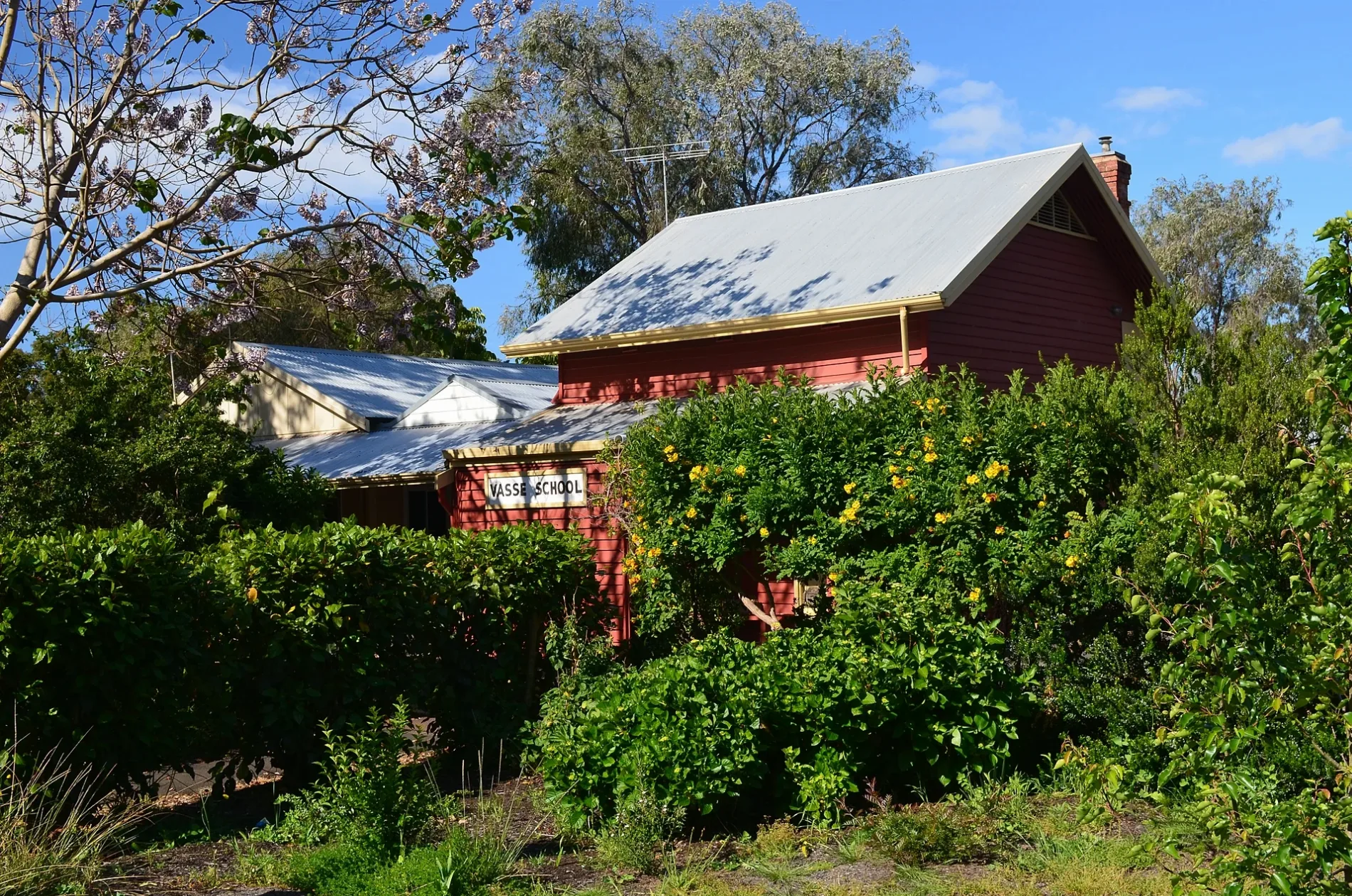
Petrol stations
Off-licences
Farm supplies shops
Beauty salons
Bakeries
Waste transfer stations
Roads nearby
Cape Naturaliste College Link150 m
Vasse Primary School North Path300 m
Newtown Close300 m
Wadandi Track300 m
Kaloorup Road400 m
Slasher Lane400 m
Buayanyup Drain Shared Path450 m
Minion Court450 m
Napoleon PromenadeRenew Skin & Beauty, Vasse Bakery, Liquorland
500 m
Data Way500 m
Ginko Lane500 m
Tillage Lane500 m
Denman Lane500 m
Heritage Drive500 m
Harvester Promenade550 m
Busselton Bypass Shared Path550 m
Pearson Drive550 m
Campbell Boulevard550 m
Harrow Terrace550 m
Orlando Boulevard600 m
Birak Lane600 m
Arnup Drive600 m
Sickle Drive650 m
Coomidup Boulevard650 m
Dowell Road650 m
Ganges Lane700 m
Chaffcutter Lane700 m
Sythe Lane700 m
Northerly StreetGull, Vasse
700 m
Warrior Court750 m
Elijah Circle750 m
Baler Drive750 m
Massey Drive750 m
Winnow Lane750 m
Busselton Bypass West Rotary800 m
Hayrake Drive800 m
Florence Road800 m
Shearbolt Lane850 m
Cart Close900 m
Plough Crescent900 m
Community centres nearby
Vasse Hall250 m
Convenience stores nearby
Vasse General Store500 m
Fast food restaurants nearby
McDonald's650 m
Parks nearby
Kaloorup Road Oval300 m
Petrol stations nearby
Coles Express600 m
Recreation grounds nearby
Vasse Oval400 m
Residential areas nearby
Vasse450 m
Retail areas nearby
Vasse Village550 m
Supermarkets nearby
Coles550 m
 Public transport map Vasse Legend
| Railway | |
| Bus | |
| Tram |
 Cycling map Vasse Legend
| Cycle path | |
| Cycle lane on road | |
| Cycling on bus lane | |
| Bicycle street | |
| Cyclists allowed | |
| Cyclists allowed, good surface | |
| No cycling | |
| Cobblestones |
| Long-distance cycle route | (depending on scale) | |
| Long-distance cycle route |
 Walking map Vasse Legend
| Path |
| Long-distance hiking trail | (depending on scale) | |
| Long-distance hiking trail | ||
| No pedestrians |