
Carter Street in West Busselton
Carter Street in City Of Busselton is a residential street. It runs in a north-south direction starting from Bussell Highway and crosses Peake Street and Maxted Street and ends at Moore Street. Carter Street also exists in Shire Of Esperance, City of Cockburn, City of Gosnells, Shire Of Northam and Shire Of Three Springs.
- Road Type
- residential street
- Route
- north-south
Image
Supermarkets
Car dealerships
Hardware shops
Fast food restaurants
Bicycle shops
Roads nearby
Queen Elizabeth Avenue150 m
Whitton Street200 m
Mill Road250 m
Peake Street300 m
Alpha Road300 m
Falkingham Road300 m
Foursomes Road300 m
Arabian Court300 m
Thurkle Street350 m
Maxted Street350 m
Moore Street350 m
Lockimiar Place350 m
Simon Street400 m
Bussell HighwaySouth West Cycles, Ford & Doonan Busselton, Subway, Al Forno, The Urban Coffee House
400 m
Dorset StreetWest Busselton
400 m
Broadwater Nature Reserve Shared PathALDI
450 m
Bayview Street450 m
Wedge Place450 m
Thurkle Street Path450 m
Backhouse Street500 m
Lake Street500 m
Bovell Street550 m
Craig Street550 m
South Street550 m
Chaytor View600 m
Wattle Street650 m
Wadandi Track650 m
Swan Street650 m
Pettit Crescent650 m
Bignell Drive650 m
Margaret Street700 m
McKillop Avenue750 m
Joondalup Court750 m
Karrinyup Retreat800 m
Abbey Street800 m
Reynolds Street800 m
Dunsborough to Busselton Shared Path800 m
Links Court850 m
Huntingdale Close850 m
Kelly Drive850 m
Furphy Place950 m
College Avenue950 m
Shannon Place950 m
Prince Regent Drive950 m
Vasse Diversion Drain Bridge1000 m
Abandoned railways nearby
Flinders Bay Branch750 m
Commercial buildings nearby
Geographe Bay Yacht Club900 m
Hospitals nearby
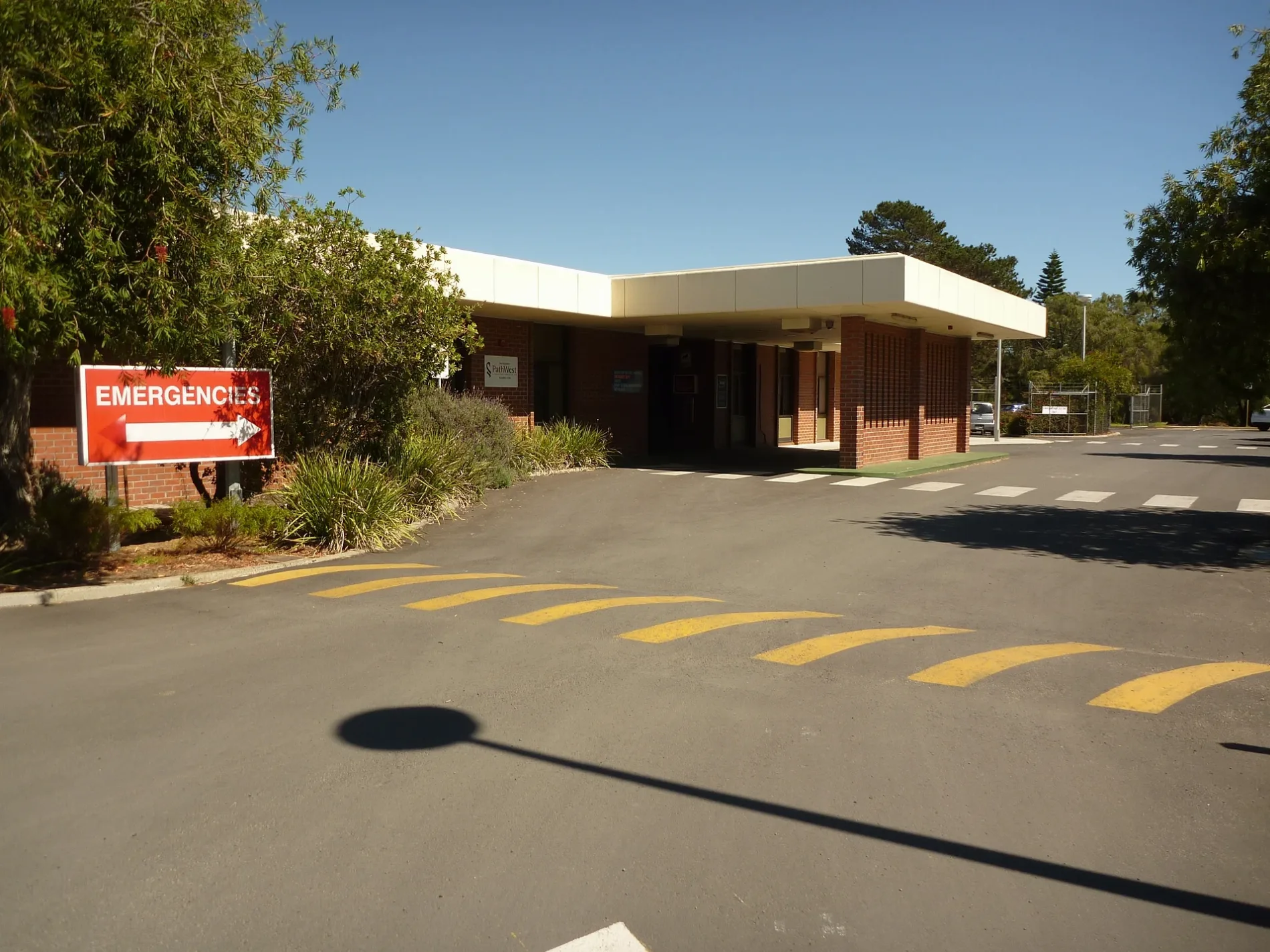
Busselton Health Campus300 m
Rivers nearby
New River900 m
Public transport map West Busselton Legend
| Railway | |
| Bus | |
| Tram |
Cycling map West Busselton Legend
| Cycle path | |
| Cycle lane on road | |
| Cycling on bus lane | |
| Bicycle street | |
| Cyclists allowed | |
| Cyclists allowed, good surface | |
| No cycling | |
| Cobblestones |
| Long-distance cycle route | (depending on scale) | |
| Long-distance cycle route |
Walking map West Busselton Legend
| Path |
| Long-distance hiking trail | (depending on scale) | |
| Long-distance hiking trail | ||
| No pedestrians |