
West Busselton
West Busselton is located in City Of Busselton. About 8,517 people live here (as of 2016). Between 2016 and 2021, the population grew from 8,517 to 8,869. Its area extends over around 8.2 square kilometres. West Busselton has around 395 streets. The postal codes are 6280. West Busselton is suburb of Busselton, Western Australia. Among other things, West Busselton has restaurants, cafés and supermarkets.
West Busselton – Facts
| Inhabitants | 8517 |
|---|---|
| Area | 8.2 km² |
| Located in | Western Australia, City of Busselton |
| Postal code | 6280 |
| Country | Australia |
Data source: Wikidata (CC0)
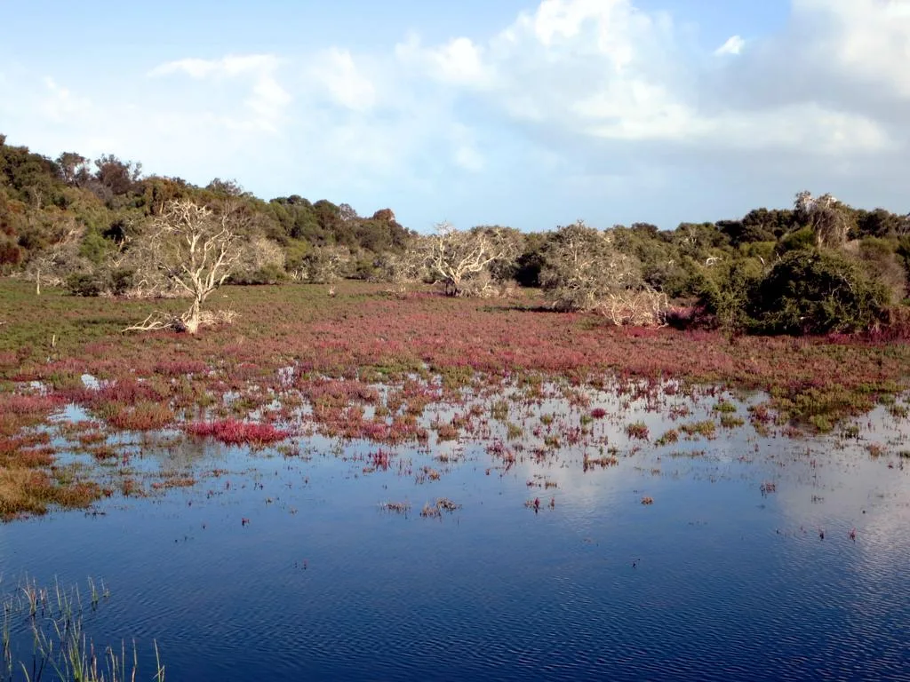
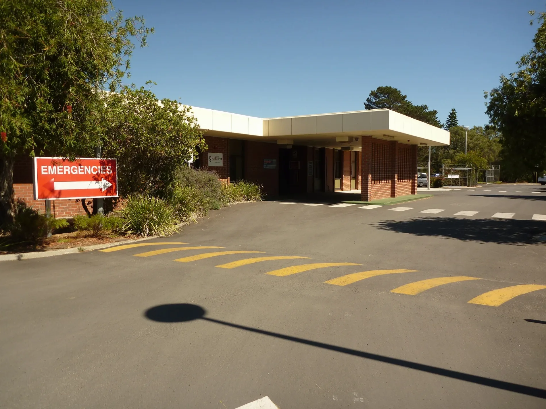
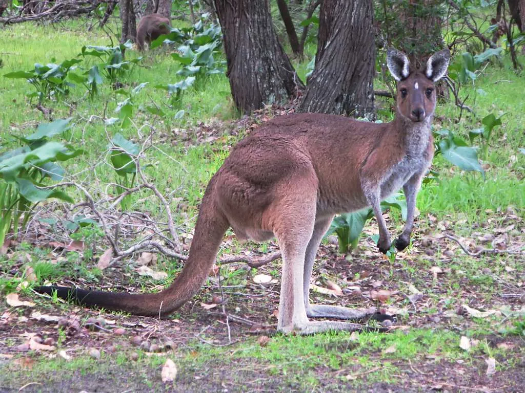
Photos from West Busselton
Roads in West Busselton
Roads
Bussell Highway
South West Cycles, Ford & Doonan Busselton, Subway, Al Forno, The Urban Coffee House
Queen Elizabeth Avenue
King Street
Geographe Bay Road
Busselton Bypass
College Avenue
Fairway Drive
Melaleuca Drive
Bosworth Bend
Pennyworth Ramble
Esperia Close
Lancaster Drive
Kilchatten Crescent
Codrington Boulevard
Beaufort Crescent
Dakota Close
Huntress Cove
Wirraway Place
Hudson Place
Cathedral Loop
Canon Retreat
Cloisters Cove
Chapel Court
Deacon Walk
Chaplain Gardens
Precinct Cove
Steeple Retreat
Carillon Court
High Street
Jolliffe Street
Gale StreetGale Street Motel & Villas, Makit
Thomas Street
Reynolds Street
Dorset StreetWest Busselton
Bayview Street
Swan Street
Wattle Street
Myles Street
Morrison Street
Seymour Street
Prince Regent Drive
Chaytor View
Simon Street
South Street
Donnelly Court
Talga Court
Kalgan Place
Court Street
Blue Crescent
Dumbarton Road
Glenleigh Road
Craig Street
Seagrott Road
Park Way
Earnshaw Road
Hovea Crescent
Short Street
Derek Street
Carter Street
Alpha Road
Bower Road
Maxted Street
Peake Street
Backhouse Street
Foursomes Road
Wedge Place
Lockimiar Place
Arabian Court
Whitton Street
Manson Street
Gunn Street
Jensen Way
Ellen Lane
Haifordshire Loop
Mary Elizabeth Ramble
Settlers Gate
New River Ramble
Toolburra Pass
Phaeton Brace
Blackberry Lane
Pianobox Boulevard
Tip Dray Terrace
Blackberry Lane Spur
Kalgaritch Avenue
Whistler Cove
Rivergum Place
Wallaby Gardens
Redwood Close
Waratah Court
Furphy Place
Bottlebrush Gardens
Magpie Close
Ringtail Retreat
Joondalup Court
Karrinyup Retreat
Huntingdale Close
Lakelands Cove
Glen Eagles Grove
Chidley Cove
Edith Agnes Circle
Frances Louisa Street
Glenmeer Ramble
Nordic Glen
Recreation Lane
Hamilton Way
Langridge Place
Trojan Close
Aitken Place
Bignell Drive
Hughes Close
Hadfield Avenue
McGregor Place
Pinnock Place
Centurion Way
Blackswan Drive
Butcherbird Place
Aloe Court
Sydland Cove
Wren Court
Kingfisher Boulevard
Salmon Close
Forsyth Place
Bishop Place
Lilly Crescent
Glassby Place
Hale Street
Johnston Avenue
Heppingstone Road
Quail Cove
Raven Place
Dolphin Court
Wylie Crescent
Weston Place
Trident Close
Heron Place
Powell Court
Canterbury Place
Clydebank Avenue
Mulberry Lane
Shannon Place
Minilya Court
Leeuwin Boulevard
Cardinal Crescent
Sanctuary Grove
Westminster Avenue
McKillop Avenue
MacKillop Avenue
Chancery Way
Querimba Glen
Carmia Glen
Kelly Drive
Dalemoor Way
Kintail Cove
Macneil Cove
Apolda Cove
Curno Place
Orly Place
Catalina Way
Grace Court
West Street
Kent Street
Frankland Way
Lake Street
Pickmore Circus
Butcher Road
Breeden Street
Falkingham Road
Pettit Crescent
Moore Street
Alexander Road
Hutchins Street
Sutton Way
Margaret Street
Reading Street
Court Street Spur
Dunsborough to Busselton Shared Path
Broadwater Nature Reserve Shared PathALDI
Siding Road
Smokebox Avenue
Switchback Parade
Boiler Terrace
Ashpan Approach
Belpaire Entrance
Fettle Lane
Stoker Street
Boxcar Lane
Spinifex Court
Coomarl Approach
Budart Way
Beeliar Entrance
Coobari Gra
Ngulor Lane
Homestead Promenade
Mill Road
Swamp Hen Lane
Bovell Street
Abbey Street
Orsova Link
Shepherd Way
Otway Pass
Rangatira Crescent
Fernbrook Way
Knapton Street
Links Court
Thurkle Street
Liberator Place
Peaker Court
Busselton Bypass Shared Path
Fairway Drive Shared Path
Vasse Diversion Drain Bridge
Thurkle Street Path
College Avenue Shared Path
Broadwater Nature Reserve South Path
Wadandi Track
Sophia Loop
Veazey Bend
Duchess StreetAbandoned railways
Buildings
Canals
Caravan site
Commercial buildings
Community centres
Fast food restaurants
Golf courses
Hospitals
Motel
Parks
Restaurants
Rivers
 Public transport map West Busselton Legend
| Railway | |
| Bus | |
| Tram |
 Cycling map West Busselton Legend
| Cycle path | |
| Cycle lane on road | |
| Cycling on bus lane | |
| Bicycle street | |
| Cyclists allowed | |
| Cyclists allowed, good surface | |
| No cycling | |
| Cobblestones |
| Long-distance cycle route | (depending on scale) | |
| Long-distance cycle route |
 Walking map West Busselton Legend
| Path |
| Long-distance hiking trail | (depending on scale) | |
| Long-distance hiking trail | ||
| No pedestrians |