
Gunn Street in West Busselton
Gunn Street in City Of Busselton is a residential street and runs in a north-south direction starting from Manson Street and ends in a cul-de-sac.
- Road Type
- residential street
- Route
- north-south
Image
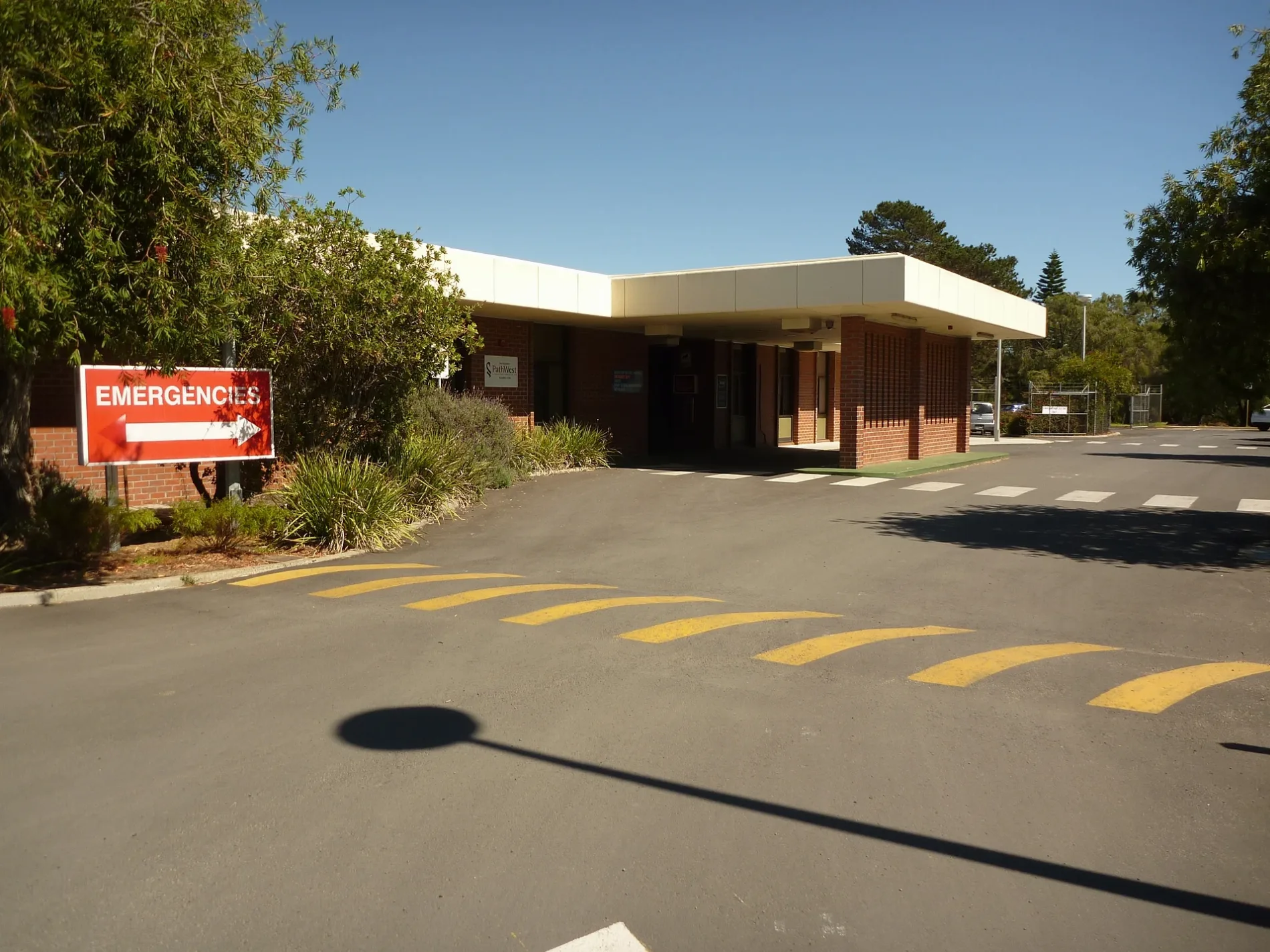
Bicycle shops
Car dealerships
Motel
Cafés
Supermarkets
Roads nearby
Manson Street150 m
Jensen Way150 m
Craig Street150 m
Dunsborough to Busselton Shared Path200 m
Bower Road250 m
Geographe Bay Road300 m
Bussell HighwaySouth West Cycles, Ford & Doonan Busselton, Subway, Al Forno, The Urban Coffee House
300 m
Dumbarton Road350 m
Wedge Place400 m
Foursomes Road400 m
Blue Crescent400 m
Falkingham Road450 m
Seagrott Road450 m
Glenleigh Road450 m
Trident Close450 m
Wylie Crescent450 m
Heron Place450 m
Alpha Road450 m
Peake Street500 m
Mill Road500 m
Aitken Place500 m
Wadandi Track550 m
Park Way550 m
Maxted Street550 m
Whitton Street600 m
Trojan Close600 m
Weston Place650 m
Arabian Court650 m
Lockimiar Place650 m
Pettit Crescent650 m
Carter Street650 m
Backhouse Street650 m
Butcher Road700 m
Hamilton Way700 m
Lilly Crescent700 m
Glassby Place700 m
Hughes Close700 m
Moore Street800 m
Langridge Place850 m
Bignell Drive850 m
McGregor Place900 m
Fairway Drive950 m
Lakelands Cove1000 m
Huntingdale Close1000 m
Karrinyup Retreat1000 m
Mary Elizabeth Ramble1000 m
Edith Agnes Circle1000 m
Public transport map West Busselton Legend
| Railway | |
| Bus | |
| Tram |
Cycling map West Busselton Legend
| Cycle path | |
| Cycle lane on road | |
| Cycling on bus lane | |
| Bicycle street | |
| Cyclists allowed | |
| Cyclists allowed, good surface | |
| No cycling | |
| Cobblestones |
| Long-distance cycle route | (depending on scale) | |
| Long-distance cycle route |
Walking map West Busselton Legend
| Path |
| Long-distance hiking trail | (depending on scale) | |
| Long-distance hiking trail | ||
| No pedestrians |