
The Esplanade in Esperance
The Esplanade in Shire Of Esperance is a two-lane, asphalted secondary road (50 km/h). It runs in a northeast-southwest direction and crosses Balfour Street, Brazier Street, Kemp Street, Langham Lane, James Street and The Esplanade Service Road. It ends in a cul-de-sac and connects Esperance and Chadwick. This road is part of the long-distance road "358". In the vicinity, you can find among other things 2 hotels, 2 cafés, a motel and a restaurant.
- Road Type
- secondary road
- Lanes
- 2
- Speed Limit
- 50
- Route
- northeast-southwest
Image
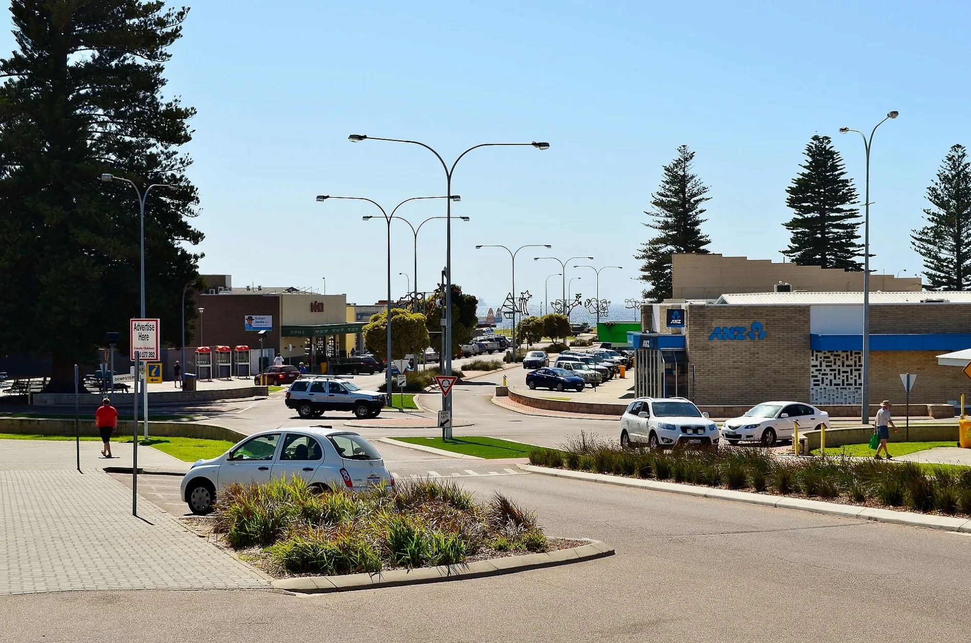
Community centre
Roads nearby
James StreetLittle Urchins, Jax Snax
150 m
Langham Lane200 m
The Esplanade Service RoadPier Hotel, LiquorSTAX
250 m
Andrew StreetEsperance Hotel, ANZ, SANDY HOOK TAVERN, ROAST AND TOAST LUNCH BAR AND CAFE, Bankwest
300 m
Windich StreetEsperance Uniting Church Centre, ABC Esperance
350 m
Kemp StreetComfort Inn Bay of Isles, Eljay's Bar and Restaurant
400 m
Norfolk Lane450 m
Council Place500 m
Eyre Street550 m
Forrest StreetFlight Centre, Brumby's Bakeries, Red Rooster
550 m
Hicks StreetEsperance
650 m
Brazier Street650 m
Tupper Street650 m
Jane Street650 m
Randell Street700 m
Stubbing Street750 m
William StreetMcDonald's, Top End Takeaway
750 m
Layton Street750 m
Coleman Street750 m
Taylor Street850 m
Balfour StreetEsperance Bay Dental
850 m
Jehu Street850 m
Stubbs Street850 m
Gladstone Street950 m
Dempster Street1000 m
Abandoned railways nearby
Tanker Jetty1,2 km
Attraction nearby
Adventureland Miniature Railway700 m
Beaches nearby
Bow Park550 m
Buildings nearby
Bus stop (former railway station)200 m
Dutton Arcade400 m
Scouts Hall600 m
Esperance Bay Yacht Club650 m
Esperance Mini Golf850 m
Cafés nearby
Break Away Cafe500 m
Gardens nearby
Don Mackenzie Waterfront Garden700 m
Holiday apartment nearby
The Yot Spot750 m
Hotels nearby
Hospitality100 m
Motel nearby
Bayview Motel550 m
Museum nearby
Historic Village100 m
Parks nearby
Museum Park50 m
James Street Park200 m
The Esplande600 m
Ralph Bower Adventureland Park650 m
Adventureland Park700 m
Tanker Jetty Park900 m
Petrol stations nearby
Coles Express400 m
Restaurants nearby
Xing's Sushi & Noodle300 m
Shopping malls nearby
Esperance Boulevard350 m
Tourist information offices nearby
Esperance Visitors Centre400 m
 Public transport map Esperance Legend
| Railway | |
| Bus | |
| Tram |
 Cycling map Esperance Legend
| Cycle path | |
| Cycle lane on road | |
| Cycling on bus lane | |
| Bicycle street | |
| Cyclists allowed | |
| Cyclists allowed, good surface | |
| No cycling | |
| Cobblestones |
| Long-distance cycle route | (depending on scale) | |
| Long-distance cycle route |
 Walking map Esperance Legend
| Path |
| Long-distance hiking trail | (depending on scale) | |
| Long-distance hiking trail | ||
| No pedestrians |