
Gaetz Avenue in Pines, Red Deer, Alberta
Gaetz Avenue in City of Red Deer, Pines is a three-lane, asphalted main road (60 km/h, also known as 50 Avenue). It runs in a north-south direction starting from 78 Street and crosses Gaetz Avenue Service Road, 49 Avenue, 67 Street, Piper Drive, Niven Street, Phelan Street, 74 Street, 76 Street, 78A Street and 79 Street and ends at 77 Street. It connects Pines, Downtown, Normandeau, Northlands Industrial Park, Highland Green Estates and Kentwood East. Gaetz Avenue is also known as 50 Avenue. This road is part of the long-distance road "2A". In the vicinity, there is among other things a restaurant. The bus lines 1, 15, 18, Ebus and Red Arrow serve this stop. Gaetz Avenue also exists in Westerner Park and South Hill.
- Alternative Name
- 50 Avenue
- Road Type
- main road
- Lanes
- 3
- Speed Limit
- 60
- Route
- north-south
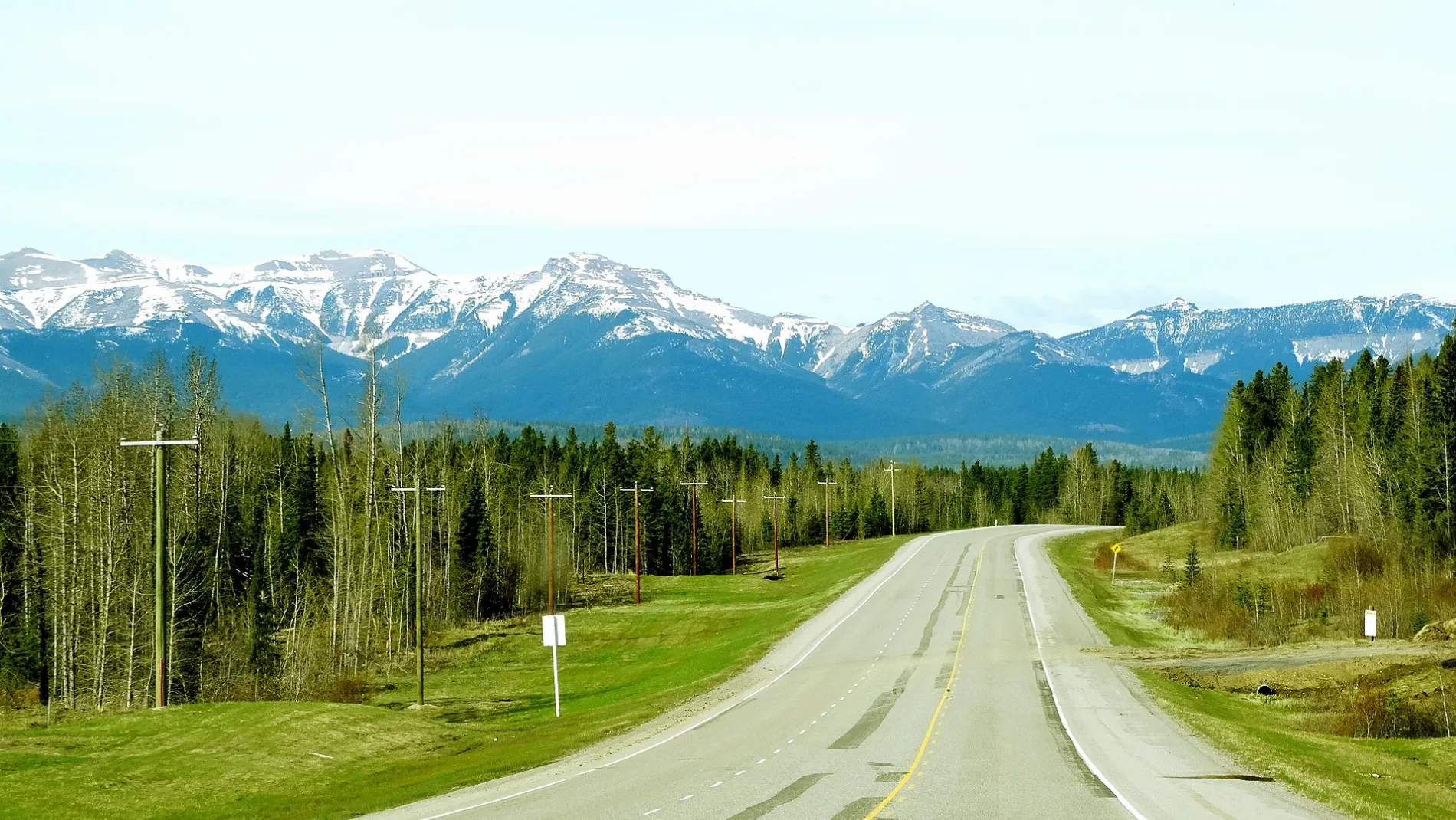
Image
Roads nearby
49 AvenueWestbound Page Avenue @ 49 Avenue
200 m
Holmes Street250 m
52 AvenueCanadian Tire Auto, Shoppers Drug Mart, Canada Post
300 m
Hallgren Avenue300 m
Gaetz Avenue SouthwestGlobal Pet Foods, Moores, Southbound Gaetz Avenue @ Parkland Mall, Memphis Blues BBQ House, Village Mall @ Service Road
350 m
Hall Crescent350 m
67 StreetEastbound 67 Street @ 52 Avenue, Red Deer Fire & Emergency Services Station #2, GRC, Eastbound 67 Street @ 58 Avenue, Starbucks
350 m
63 Street350 m
47A Avenue400 m
Pearson Crescent400 m
Pines Escarpment Trail400 m
Gaetz Avenue West450 m
Huget Crescent450 m
Pamely Avenue Southeast450 m
62 StreetWestbound 62 Street @ 51 Avenue, Eastbound 62 Street @ 52 Avenue
450 m
Gaetz Avenue Service RoadSouthbound Gaetz Avenue @ 68 Street, Cora, Mary Brown's, Quiznos, Pizza 73, Foggy Gorilla Vape Shop, Money Mart, Southbound Gaetz Avenue @ Niven Street, Parts Source, Mandarin
500 m
Pennington Crescent550 m
Hart Crescent550 m
Pamely AvenueNorthbound Pamely Avenue @ 67 Street, Northbound Pamely Avenue @ Page Avenue, Northbound Pamely Avenue @ Patterson Crescent, Northbound Pamely Avenue @ Piper Drive, Pines
550 m
Hermary StreetWestbound Hermary Street @ Halladay Avenue, Westbound Hermary Street @ 52 Avenue, Eastbound Hermary Street @ 59 Avenue
600 m
Heath Close600 m
Halladay Avenue650 m
Pinewood Close650 m
Hunter Close650 m
61 Street650 m
68 StreetATB Financial, Tim Hortons, Fire & Flower
700 m
Piper DriveRBC, I.D.A.
700 m
Hill Crescent700 m
Gaetz Avenue700 m
Parkside Drive750 m
48 Avenue750 m
60 StreetA&W, Eastbound 60 Street @ 58 Avenue, Eastbound 60 Street @ 59 Avenue, Southbound 60 Street @ Taylor Drive, Westbound 60 Street @ 60 Avenue, Westbound 60 Street @ 58 Avenue, Westbound 60 Street @ 56 Avenue, Westbound 60 Street @ 54 Avenue, Eastbound 60 Street @ Taylor Drive, Westbound 60 Street @ 52 Avenue
750 m
51 Avenue750 m
Riverview AvenueNorthbound 54 Avenue @ 60 Street
800 m
Patterson Crescent800 m
Banks nearby
TD Canada Trust250 m
Servus Credit Union500 m
Car dealerships nearby
Kipp Scott GMC Cadillac Buick800 m
Cemeteries nearby
Mount Calivery Catholic Cemetery550 m
Department stores nearby
Canadian Tire250 m
Fast food restaurants nearby
A&W200 m
Wendy's550 m
Petrol stations nearby
Fas Gas400 m
Places of worship nearby
Lutheran Church of the Good Shepherd450 m
Restaurants nearby
Mr Mikes300 m
Retail buildings nearby
The Soul Center550 m
Shopping malls nearby
Parkland Mall400 m
Supermarkets nearby
Walmart Supercentre150 m
Sobeys150 m
Save-On-Foods500 m
 Public transport map Pines Legend
 | Railway | |
| Bus | |
| Tram |
 Cycling map Pines Legend
 | Cycle path | |
| Cycle lane on road | |
| Cycling on bus lane | |
| Bicycle street | |
| Cyclists allowed | |
| Cyclists allowed, good surface | |
| No cycling | |
| Cobblestones |
| Long-distance cycle route | (depending on scale) | |
| Long-distance cycle route |
 Walking map Pines Legend
 | Path |
| Long-distance hiking trail | (depending on scale) | |
| Long-distance hiking trail | ||
| No pedestrians |