
Range Road 12 in Municipal District of Pincher Creek No. 9
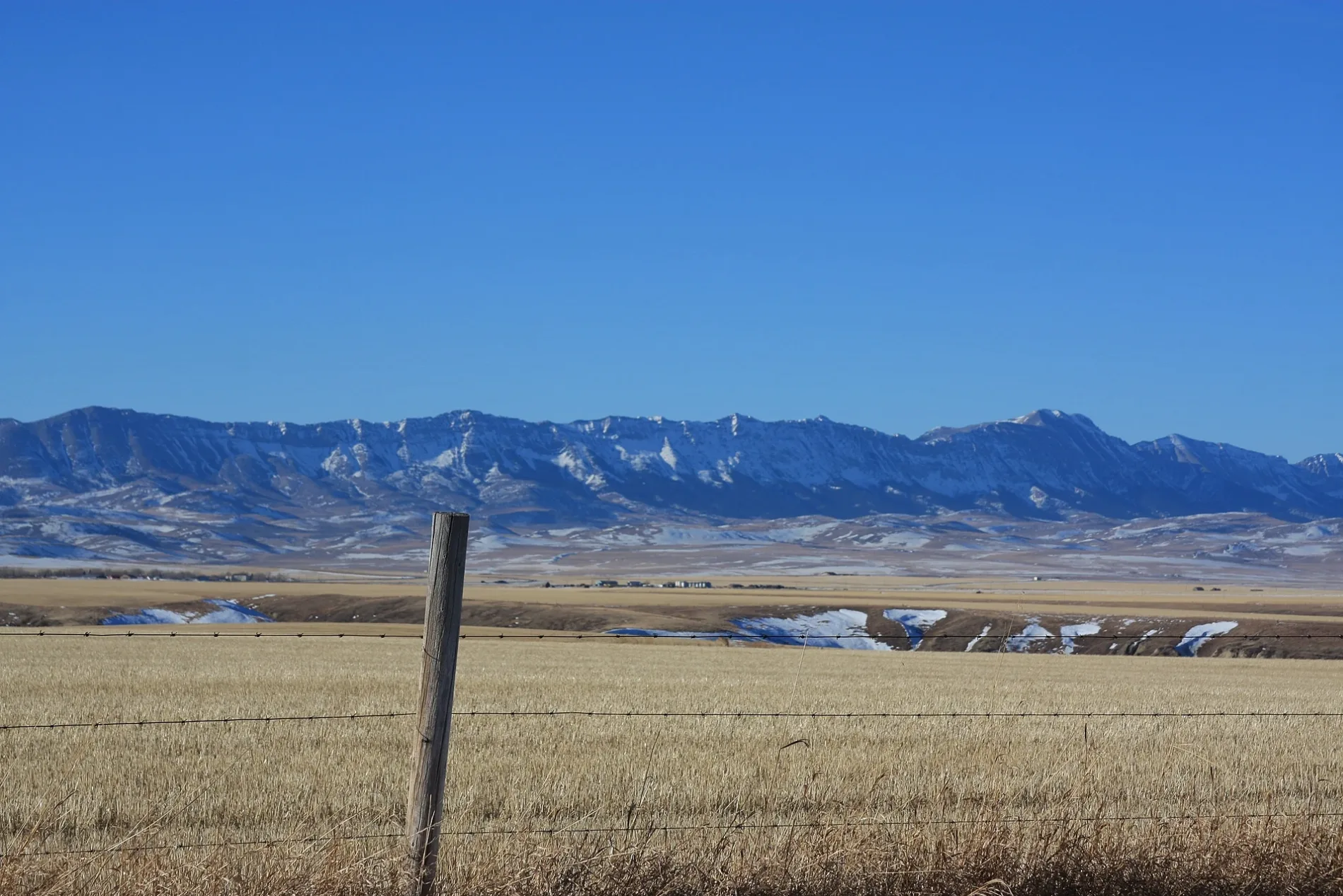
Range Road 12 in Municipal District of Pincher Creek No. 9 is a two-lane, unpaved minor road. It runs in a north-south direction and crosses Highway 507 and ends at Range Road 12A, while the other end is a cul-de-sac. Range Road 12 also exists in Town of Sylvan Lake, Rocky View County, City of Lloydminster, Airdrie and Town of Crossfield.
- Road Type
- minor road
- Lanes
- 2
- Route
- north-south
Image
Attraction
Tourist information offices
Benches
Picnic site
Hostel
Public toilet
Caravan site
Post offices
Farm shops
Viewpoint
Shelter
Places of worship
Restaurants
Campsite
Roads nearby
Range Road 12A650 m
Range Road 103,2 km
Township Road 62A3,4 km
Range Road 113,9 km
Highway 775Washroom, Day Use Shelter
4,2 km
Range Road 144,9 km
Range Road 3045,0 km
Township Road 64APincher Creek Hutterite Colony
5,2 km
Range Road 11A5,3 km
Range Road 3035,4 km
Range Road 30-45,7 km
Township Road 6-05,7 km
Range Road 10A5,8 km
Range Road 15A5,8 km
Township Road 655,8 km
Canyon DriveCommunity Hall
5,8 km
Township Road 61A5,8 km
Township Road 646,0 km
Canyon Cresent6,0 km
Beaver Drive6,1 km
Victoria Cresent6,1 km
Township Road 626,1 km
Beaver Dr6,2 km
Oakwood Drive6,2 km
Range Road 1-56,2 km
Township Road 7-06,2 km
Pineridge Bay6,3 km
Foxbourgh Lane6,3 km
Pineridge Crescent6,3 km
Range Road 15Washroom, Day Use Shelter
6,3 km
Township Road 6-4Pincher Creek Hutterian Brethren
6,3 km
Diane's WayKootenai Brown Museum
6,4 km
Hillside Crescent6,4 km
Geddes Avenue6,5 km
Huckleberry Court6,5 km
Foothills Avenue6,5 km
Range Road 12C6,5 km
Range Road 2-06,5 km
Tumbleweed Avenue6,6 km
Township Road 6-4A6,8 km
Range Road 30-36,8 km
Township Road 70B6,8 km
Campsite nearby
Castle Valley campground6,0 km
Parks nearby
Dilmer Park6,4 km
Playgrounds nearby
Dilmer Park Playground6,4 km
Rivers nearby
Mill Creek6,6 km
Streams nearby
Pincher Creek4,2 km
Other nearby
Russel5,0 km
Castle River5,0 km
 Public transport map Municipal District of Pincher Creek No. 9 Legend
| Railway | |
| Bus | |
| Tram |
 Cycling map Municipal District of Pincher Creek No. 9 Legend
| Cycle path | |
| Cycle lane on road | |
| Cycling on bus lane | |
| Bicycle street | |
| Cyclists allowed | |
| Cyclists allowed, good surface | |
| No cycling | |
| Cobblestones |
| Long-distance cycle route | (depending on scale) | |
| Long-distance cycle route |
 Walking map Municipal District of Pincher Creek No. 9 Legend
| Path |
| Long-distance hiking trail | (depending on scale) | |
| Long-distance hiking trail | ||
| No pedestrians |