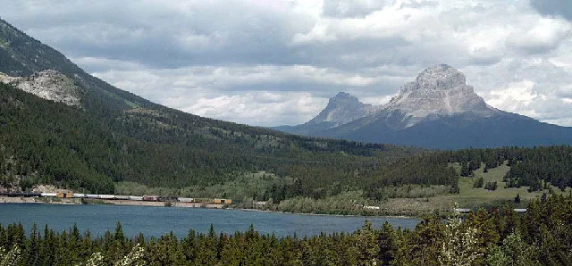
Crowsnest Mountain and Seven Sisters (to the left) in the Canadian Rockies. Picture (probably) taken from Highway 3 above Crowsnest Lake looking north (NNE), some 5 km east of Crowsnest Pass, thus Crowsnest Pass is not in the picture. – User Mjrogers50 on en.wikipedia, CC BY-SA 3.0 – Wikimedia Commons Municipality of Crowsnest Pass is located in Alberta. About 5,589 people live here (as of 2016). Between 2016 and 2021, the population grew from 5,589 to 5,695. The region lies at 1310 metres above sea level. Its area extends over around 371.4 square kilometres. Municipality of Crowsnest Pass has around 819 streets. The region was founded in the year 1979. Municipality of Crowsnest Pass is specialized municipality in Alberta. Among other things, Municipality of Crowsnest Pass has restaurants, cafés, supermarkets, attractions, banks and pharmacies. For more information, see www.crowsnestpass.com.


 Public transport map Municipality of Crowsnest Pass Legend
  Cycling map Municipality of Crowsnest Pass Legend
  Walking map Municipality of Crowsnest Pass Legend