
Cleland Mobile Home Park in Pincher Creek, Alberta
Cleland Mobile Home Park in Pincher Creek is a two-lane minor road (private). It runs in a southeast-northwest direction starting from MacLeod Street and ends at Robertson Avenue.
- Road Type
- minor road
- Lanes
- 2
- Route
- southeast-northwest
Image
Restaurants
Veterinary clinic
Places of worship
Tyre shops
Jewellers
Opticians
Fast food restaurants
Motel
Bank
Outdoor shops
Courthouse
Public bookcases
Petrol stations
Cafés
Library
Museum
- Kootenai Brown Museum (web) – approx. 400 m.
Chemist's
Town hall
Convenience stores
Roads nearby
Church Avenue100 m
James Avenue200 m
Robertson Avenue250 m
Scobie Avenue250 m
Maple StreetEsso
250 m
Lawrence Street300 m
John Avenue400 m
Waterton AvenueParkway Motel & European Lodges, Municipal District Of Pincher Creek
400 m
Davidson Avenue400 m
Arthur Ames Street400 m
Elm StreetWestcastle Motel
400 m
Rigaux Drive400 m
Dupuy Street400 m
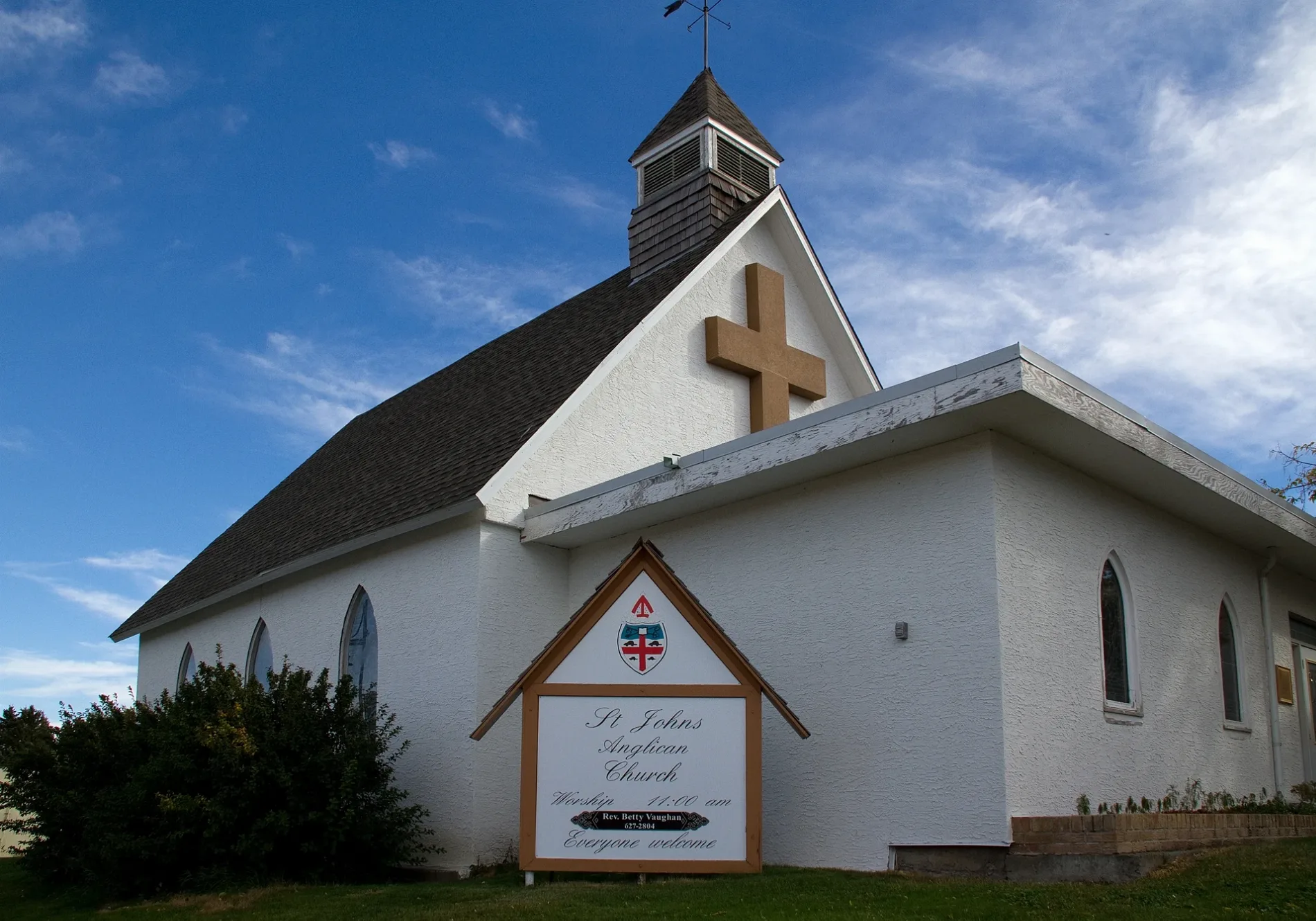
Main StreetFas Gas, Co-Op Cardlock, Pincher Creek, Pincher Creek Library, Barclay Chiropratic, Providence Salon & Spa, Bargain Store, Pincher Coin Wash, Canadian Legion #43, Dr Ken Bulter Chiropractor, Fox Theater, Excuses Alberta Hotel, Excuses AlbertaHotel, Green Bamboo Peeking House, Carolyns Cutting Corner, Bright Pearl Restaurant, RBC, Pincher Office Supply, Christines Gift Shop, ATB Finacial, Dr Barton J. Anderson, CIBC, Blackburn Jewellers, Pincher Creek Courthouse, St Johns Anglican Curch, Tamarack Outdoor Outlet, Rexall, Subway, Speciality Bakery, Harvest Coffeehouse, Dairy Queen, Dragons Heart Quilt Shop, Denises Bistro
400 m
Morden AvenuePincher Creek (town)
400 m
Poplar Avenue450 m
Wentworth Avenue450 m
Canon Street450 m
Diane's WayKootenai Brown Museum
450 m
Willow StreetFountain Tire
450 m
Bev McLachlin Drive450 m
Albert Avenue500 m
Lodge AvenueKFC
500 m
Frederick Street500 m
St John Avenue500 m
Isabel Crescent500 m
Blairmore Street500 m
Elizabeth Street550 m
Charlotte StreetPincher Creek Emergency Services, Pincher Creek First Baptist Church
600 m
Heron Street600 m
Wentworth Crescent600 m
Dundas Street600 m
Hewetson AvenueTim Hortons
650 m
Cowboy Trail750 m
Veteran's StreetPincher Creek Co-Op, Shell
800 m
Scott Avenue850 m
Hunter StreetSuper 8
850 m
Buildings nearby
Caboose300 m
Matthew Halton High School500 m
Auto Shop550 m
Campsite nearby
Veterans Memorial Campground400 m
Cemeteries nearby
Pioneer Cemetery700 m
Hotels nearby
Stardust Inn & Suites500 m
Parks nearby
Central Park550 m
Police stations nearby
Pincher Creek RCMP900 m
Public buildings nearby
Provinical Building500 m
Restaurants nearby
General's Quarters550 m
Roof structures nearby
CO-OP Gas Bowsers850 m
Sports centres nearby
Memorial Community Centre Arena300 m
 Public transport map Pincher Creek Legend
| Railway | |
| Bus | |
| Tram |
 Cycling map Pincher Creek Legend
| Cycle path | |
| Cycle lane on road | |
| Cycling on bus lane | |
| Bicycle street | |
| Cyclists allowed | |
| Cyclists allowed, good surface | |
| No cycling | |
| Cobblestones |
| Long-distance cycle route | (depending on scale) | |
| Long-distance cycle route |
 Walking map Pincher Creek Legend
| Path |
| Long-distance hiking trail | (depending on scale) | |
| Long-distance hiking trail | ||
| No pedestrians |