
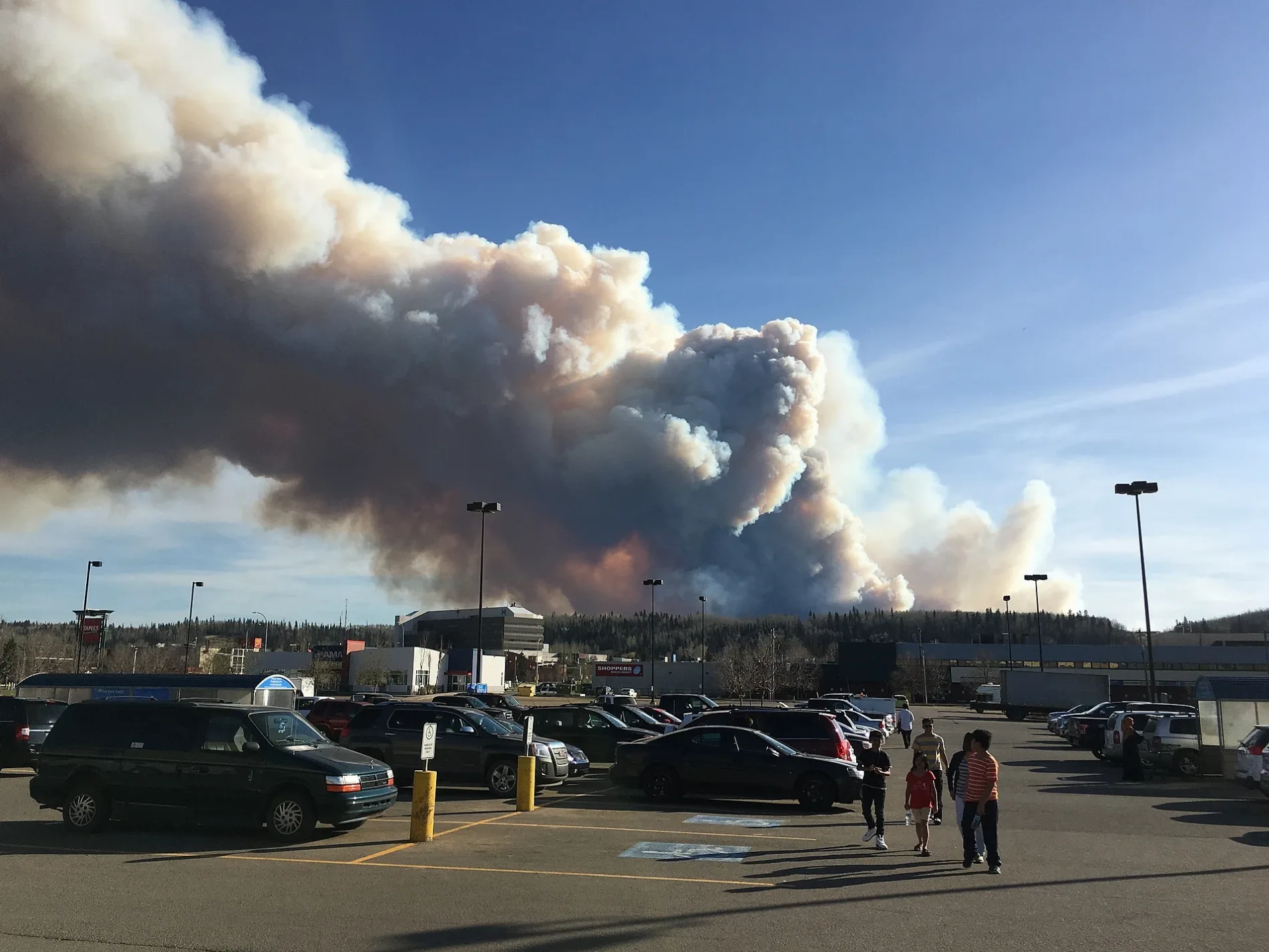
Riedel Street in Fort McMurray, Alberta
Riedel Street in Fort McMurray is a four-lane, asphalted tertiary road. It runs in a northeast-southwest direction and crosses Clearwater Drive, Gordon Avenue, Gordon White Avenue, Manning Avenue and 8820 Franklin Avenue and ends at Franklin Avenue, while the other end is a cul-de-sac.
- Road Type
- tertiary road
- Lanes
- 4
- Route
- northeast-southwest
Image
Furniture shops
Pharmacy
Post offices
DIY stores
Recycling centres
Fast food restaurants
Supermarkets
Laundries
Tobacconist's
Off-licences
Restaurants
Clothing shops
Clinic
Cafés
Museum
Roads nearby
8820 Franklin Avenue150 m
Gordon White AvenueD Laundromat
150 m
Gordon AvenueMark's
200 m
Edgewater Court200 m
Riverwalk Villas250 m
McLeod Street300 m
Poplar Crescent300 m
Pond Crescent350 m
Maciver Street350 m
Willow Square450 m
Fitzsimmons Avenue450 m
Wagner Street500 m
Peden Crescent500 m
Alberta Drive500 m
Manning AvenueThe Chef's Table by Mitchells, Mitchell's Cafe, Shoppers Drug Mart, Save-On-Foods, Fatburger, Subway, Canada Post, Mr Mikes, The Brick
550 m
Biggs Avenue550 m
McKinnon Street600 m
Ells Crescent600 m
Hospital StreetWalmart Pharmacy
600 m
Father Mercredi Street650 m
Crescent Heights650 m
Clearwater DriveMarine Park Museum, BlackGold Physical Therapy Clinic, Mr.E's Solve-It-Torium, Ashley HomeStore, Surekha's On The Snye
650 m
Blair Crescent650 m
Clark Crescent700 m
Harris Crescent700 m
Nixon Street700 m
Demers Drive750 m
Armit Crescent750 m
Hill Drive750 m
Saunderson Avenue800 m
Franklin AvenuePodollan Inns, Starbucks, Wood Buffalo PCN - After Hours Clinic, Original Joe's, KFC, Atmosphere, Subway, Cheao Smokes & Cigars, Edo Japan, McMurray Experience
800 m
Clearwater Crescent850 m
Fraser AvenueAdvanced Bottle Depot
950 m
Hardin StreetWendy's, Tim Hortons, The Launderette, Club NV
1,0 km
Banks nearby
CIBC500 m
RBC550 m
Buildings nearby
Rundlestone Condominiums500 m
Churches nearby
St. John the Baptist Roman Catholic Parish600 m
Department stores nearby
Walmart350 m
Canadian Tire500 m
Fast food restaurants nearby
McDonald's500 m
Parks nearby
Fort McMurray Boys & Girls Club100 m
Marine Park700 m
Snye Point Park800 m
Petrol stations nearby
Safeway650 m
Rivers nearby
Clearwater River450 m
Schools nearby
Our Lady of the Rivers Catholic School550 m
Stationery shops nearby
Staples550 m
Supermarkets nearby
Fresh Co650 m
 Public transport map Fort McMurray Legend
| Railway | |
| Bus | |
| Tram |
 Cycling map Fort McMurray Legend
| Cycle path | |
| Cycle lane on road | |
| Cycling on bus lane | |
| Bicycle street | |
| Cyclists allowed | |
| Cyclists allowed, good surface | |
| No cycling | |
| Cobblestones |
| Long-distance cycle route | (depending on scale) | |
| Long-distance cycle route |
 Walking map Fort McMurray Legend
| Path |
| Long-distance hiking trail | (depending on scale) | |
| Long-distance hiking trail | ||
| No pedestrians |