
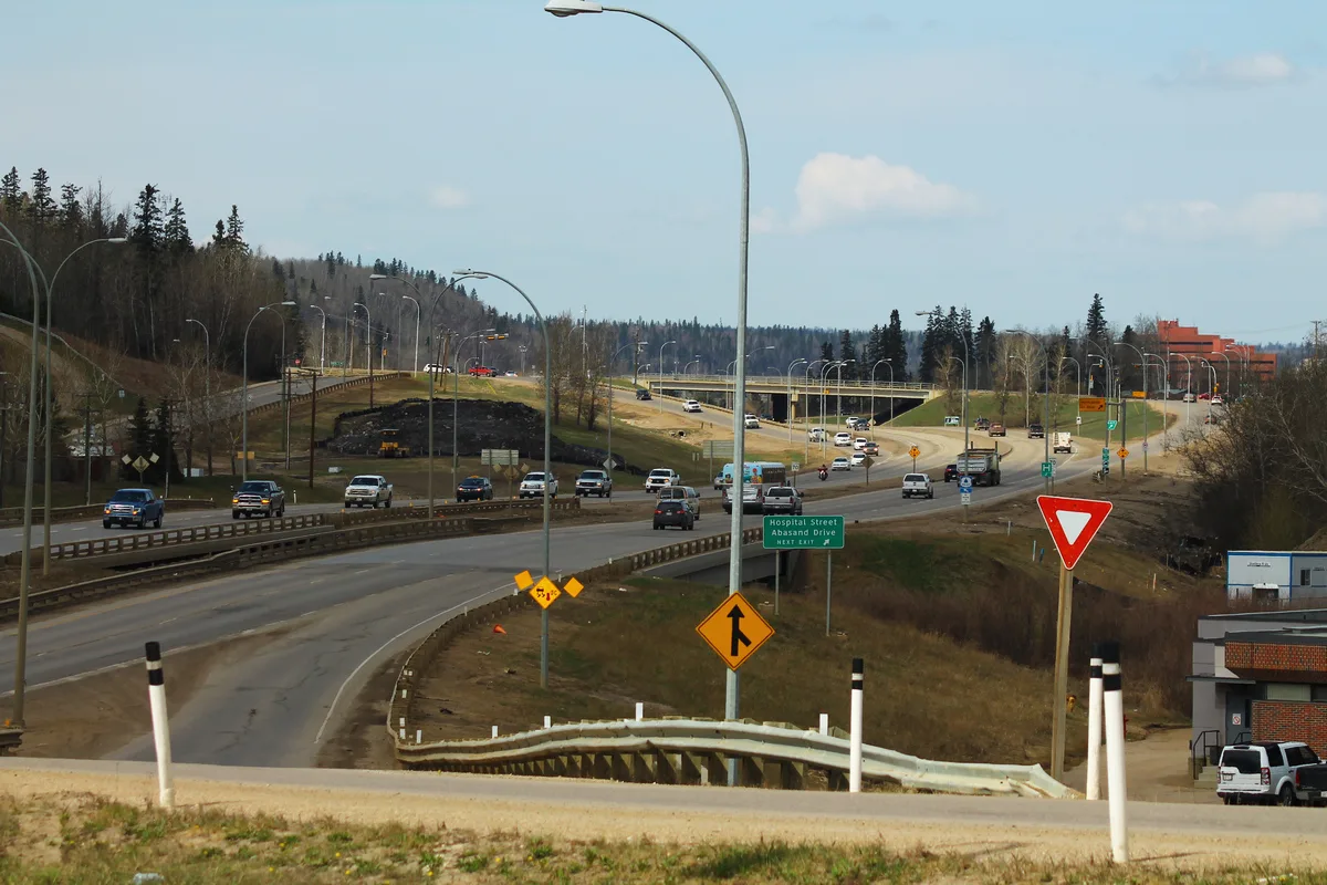
Tolen Drive in Fort McMurray, Alberta
Tolen Drive in Fort McMurray is a two-lane tertiary road. It runs in a southeast-northwest direction and crosses McCormick Drive, Cote Bay, Pelican Drive and Parkview Drive. It ends in a cul-de-sac.
- Road Type
- tertiary road
- Lanes
- 1
- Route
- southeast-northwest
Image
Clinic
Arts centres
Cafés
Recycling centres
Clothing shops
Tobacconist's
Fast food restaurants
Pharmacy
Events venues
Museum
Laundries
Supermarkets
Restaurants
Furniture shops
DIY stores
Post offices
Hotels
Roads nearby
Responders Way100 m
Memorial DriveFort McMurray
200 m
Parkview Drive200 m
Clearwater DriveMarine Park Museum, BlackGold Physical Therapy Clinic, Mr.E's Solve-It-Torium, Ashley HomeStore, Surekha's On The Snye
250 m
Primrose Lane350 m
Paradise Road350 m
King Street400 m
Gilbert Place450 m
Pelican Drive450 m
Mills Avenue450 m
Centennial Drive500 m
Graham Place500 m
Park Place500 m
Grayling Crescent550 m
Penhorwood Street550 m
Gardiner Place600 m
Garson Place600 m
Gipsy Place600 m
Saline Creek Parkway650 m
Beacon Hill Drive650 m
Beaconwood Gate700 m
Moberly Crescent750 m
Rae Crescent750 m
Abasand DriveAbasand
750 m
Cote Bay750 m
Beaverlodge Close800 m
Beaconwood Place800 m
Bennett Crescent850 m
Beaufort Crescent850 m
Bell Crescent850 m
Pearson Bay900 m
Pearson Drive900 m
Denholm Gate900 m
Fontaine Crescent900 m
May Crescent950 m
McPhee Street950 m
Franklin AvenuePodollan Inns, Starbucks, Wood Buffalo PCN - After Hours Clinic, Original Joe's, KFC, Atmosphere, Subway, Cheao Smokes & Cigars, Edo Japan, McMurray Experience
1000 m
McCormick DriveWaterways
1000 m
Golosky Avenue1,1 km
DIY stores nearby
Home Hardware Building Centre850 m
Buildings nearby
Syncrude Sports and Wellness Centre650 m
Keyano College Bob Lamb Industry Education Centre850 m
Keyano College Oilsands Power & Process Engineering Laboratory900 m
Convenience stores nearby
Circle K1000 m
Fire stations nearby
Fire Hall 1200 m
Museum nearby
Heritage Village400 m
Parks nearby
Lions Park150 m
Howard Pew600 m
Petrol stations nearby
Esso1000 m
 Public transport map Fort McMurray Legend
| Railway | |
| Bus | |
| Tram |
 Cycling map Fort McMurray Legend
| Cycle path | |
| Cycle lane on road | |
| Cycling on bus lane | |
| Bicycle street | |
| Cyclists allowed | |
| Cyclists allowed, good surface | |
| No cycling | |
| Cobblestones |
| Long-distance cycle route | (depending on scale) | |
| Long-distance cycle route |
 Walking map Fort McMurray Legend
| Path |
| Long-distance hiking trail | (depending on scale) | |
| Long-distance hiking trail | ||
| No pedestrians |