
Campus Greenway in Oak Bay, British Columbia
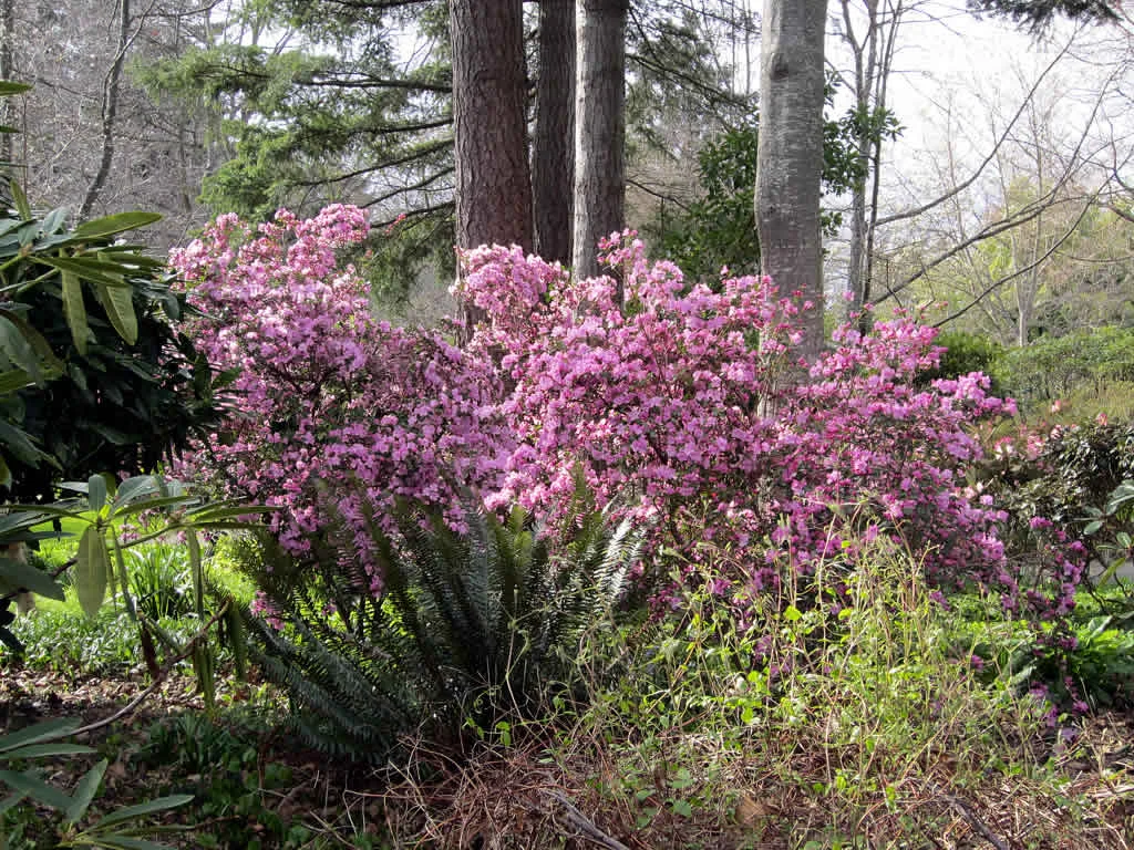
Campus Greenway in Oak Bay is a lit cycle path. The road has a width of 3 m. It runs in an east-west direction and crosses Gordon Head Road, West Campus Way and Ring Road. It ends in a cul-de-sac. This road is part of the bicycle route "UVic / Cedar Hill Local Connector".
- Bicycle
- designated
- Road Type
- cycle path
- Route
- east-west
Image
Cafés
Bus stops
Roads nearby
West Campus Gate150 m
Midgard Avenue200 m
Ring RoadRing Road at Parking lot 6, Ring Rd at McGill
200 m
Alumni Chip Trail200 m
West Campus Way250 m
Emery Place250 m
Midgard Place250 m
Gordon Head Road300 m
Nancy Hanks Street350 m
Campus Crescent350 m
Varsity Place350 m
Kisber Place450 m
Broadmead Avenue450 m
Frederick Norris Place450 m
Kremlin Street500 m
Jade Place500 m
McGill Road Bikeway500 m
Ansell Road550 m
Olivia Place600 m
McGill Road600 m
Cedar Hill Cross RoadCedar Hill Cross at Gordon Head, Cedar Hill Cross at Mayfair, Cedar Hill Cross at Iona, Cedar Hill Cross at Palo Alto, Shelbourne Community Kitchen, Starbucks, Frontrunners, CedarTree Dental, Shelbourne Barbers, Pizza Factory, Coast Capital Savings, SaanniSunny Asian Market, Heart of Asia, Vancity
600 m
McKenzie AvenueThrifty Foods, McKenzie at Shelbourne, Petro-Canada, Local Pizza, McKenzie at Cedar Hill, McKenzie at Vikes Way, RBC, Thrifty Foods Liquor, Esso, McKenzie at Oakwinds, McKenzie at Braefoot Elementary School
600 m
Onyx Place600 m
Iona Drive650 m
Emerald Place700 m
Emerald Close700 m
Kisber AvenueMac's, Subway, Act II Hair Studio, Noodle Box, Ding Tea
700 m
Howroyd Avenue750 m
Teakwood RoadPopeyes, Rexall, Mucho Burrito, Subway
750 m
Earlston Avenue800 m
Fleet Street800 m
Mortimer StreetWomen in the First World War
800 m
Garnet RoadGarnet at Cedar Hill
800 m
Larchwood Drive850 m
Apartment buildings nearby
University Park Terrace650 m
Buildings nearby
University Club150 m
Visual Arts Building150 m
Phoenix Building200 m
Fine Arts Building250 m
Fraser Building250 m
Convenience stores nearby
Town Pantry650 m
Fire stations nearby
Saanich Fire Station No. 3650 m
Industrial buildings nearby
District Energy Plant300 m
Parks nearby
Onyx Park600 m
Horner Park650 m
Places of worship nearby
Interfaith Chapel350 m
Residential areas nearby
McKenzie Lane750 m
University buildings nearby
Sedgewick Building - Vanderkerkhove B Wing250 m
David Turpin Building - B Wing300 m
 Public transport map Oak Bay Legend
| Railway | |
| Bus | |
| Tram |
 Cycling map Oak Bay Legend
| Cycle path | |
| Cycle lane on road | |
| Cycling on bus lane | |
| Bicycle street | |
| Cyclists allowed | |
| Cyclists allowed, good surface | |
| No cycling | |
| Cobblestones |
| Long-distance cycle route | (depending on scale) | |
| Long-distance cycle route |
 Walking map Oak Bay Legend
| Path |
| Long-distance hiking trail | (depending on scale) | |
| Long-distance hiking trail | ||
| No pedestrians |