
Bowron Avenue in Quesnel, British Columbia
Bowron Avenue in Quesnel is a two-lane residential street. It runs in an east-west direction starting from Walkem Street and crosses Front Street, Reid Street, McLean Street, Kinchant Street, Vaughan Street, Callanan Street, Wilson Street, Jones Street and Murphy Street.
- Road Type
- residential street
- Lanes
- 2
- Route
- east-west
Image
Fast food restaurants
Motel
Bakeries
Library
Fire station
Hotels
Petrol stations
Pharmacy
Furniture shops
Bank
Restaurants
Town hall
Post offices
Roads nearby
McLean Street150 m
Gordon Avenue200 m
Reid StreetAndre's Electronic Experts, Quesnel Main, City Furniture & Appliances, Pizza Hut, Quiznos, Subway, Quesnel Bakery, Mr Mikes
250 m
Walkem Street250 m
Elgin Street250 m
Front StreetQuality Inn, Gold Pan Motel, Cariboo Hotel, Travelodge by Wyndham Quesnel
250 m
Vaughan Street350 m
Ross Street400 m
Shepherd AvenueHusky
400 m
Sutherland Avenue450 m
Hazel Road550 m
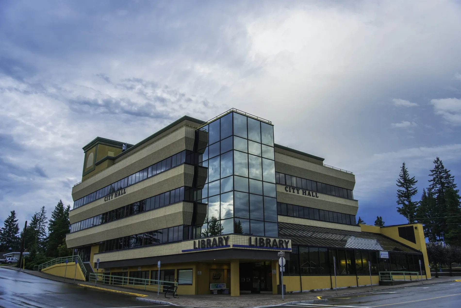
Kinchant StreetQuesnel City Hall, Quesnel Fire Hall 1
550 m
St. Laurent AvenueBMO, Quesnel, CRDL: Quesnel Branch, Ramada by Wyndham Quesnel, Shoppers Drug Mart, Dairy Queen, RBC
600 m
McNaughton Avenue600 m
Jones Street650 m
River Park Road700 m
North Fraser Drive700 m
Foster Avenue700 m
Elliott Street700 m
Callanan Street750 m
Murphy Street800 m
Wilson Street800 m
Barlow AvenueShell, Ulysses, Scotiabank, TD, Billy Barker Hotel and Casino
800 m
Gray Avenue900 m
Riverfront TrailQuesnel Yard
950 m
Cariboo HighwayMark's, Dollarama, Visitor Center, Petro-Pass Cardlock, Airport Inn Motel
950 m
Apartment buildings nearby
Fraser Villiage Homes600 m
Buildings nearby
Shiraoi House950 m
Cafés nearby
Little Toyko650 m
Tim Hortons650 m
Commercial buildings nearby
Mason's Lodge400 m
BC Liquor Store450 m
Vaugn House750 m
CIBC800 m
Provincial Government and Courthouse850 m
Branch 94 Royal Canadian Legion900 m
Hardware shops nearby
Willis Harper Hardware800 m
Hotels nearby
Tower Inn & Suites400 m
Ice rinks nearby
West Fraser Centre900 m
Parks nearby
Weldwood Park150 m
North Quesnel Community Garden450 m
Fraser River Park900 m
Chuck Beath Memorial Park900 m
Petrol stations nearby
Super Save550 m
Places of worship nearby
Saint Anne's Parish Church350 m
Railway lines nearby
Prince George Subdivision550 m
Social facilities nearby
Dunrovin Park Lodge950 m
Supermarkets nearby
Safeway500 m
Other nearby
Quesnel Hospital Heliport300 m
 Public transport map Quesnel Legend
| Railway | |
| Bus | |
| Tram |
 Cycling map Quesnel Legend
| Cycle path | |
| Cycle lane on road | |
| Cycling on bus lane | |
| Bicycle street | |
| Cyclists allowed | |
| Cyclists allowed, good surface | |
| No cycling | |
| Cobblestones |
| Long-distance cycle route | (depending on scale) | |
| Long-distance cycle route |
 Walking map Quesnel Legend
| Path |
| Long-distance hiking trail | (depending on scale) | |
| Long-distance hiking trail | ||
| No pedestrians |