
Broadway Avenue South in Williams Lake, British Columbia
Broadway Avenue South in Williams Lake is a two-lane residential street. It runs in an east-west direction starting from Windmill Crescent and crosses Broadway Avenue North, Lakeview Crescent, MacKenzie Avenue South, Coleman Road, Rowat Road, Exshaw Crescent, Cariboo Highway, Wood Road, Hamel Road and Boe Place. In the vicinity, you can find among other things 4 fast food restaurants, 3 petrol stations, 2 restaurants and 2 car repair shops.
- Road Type
- residential street
- Lanes
- 2
- Route
- east-west
Image
Restaurants
Electronics shops
Convenience stores
Fast food restaurants
Tourist information offices
Hotels
Petrol stations
Car repair shops
Museum
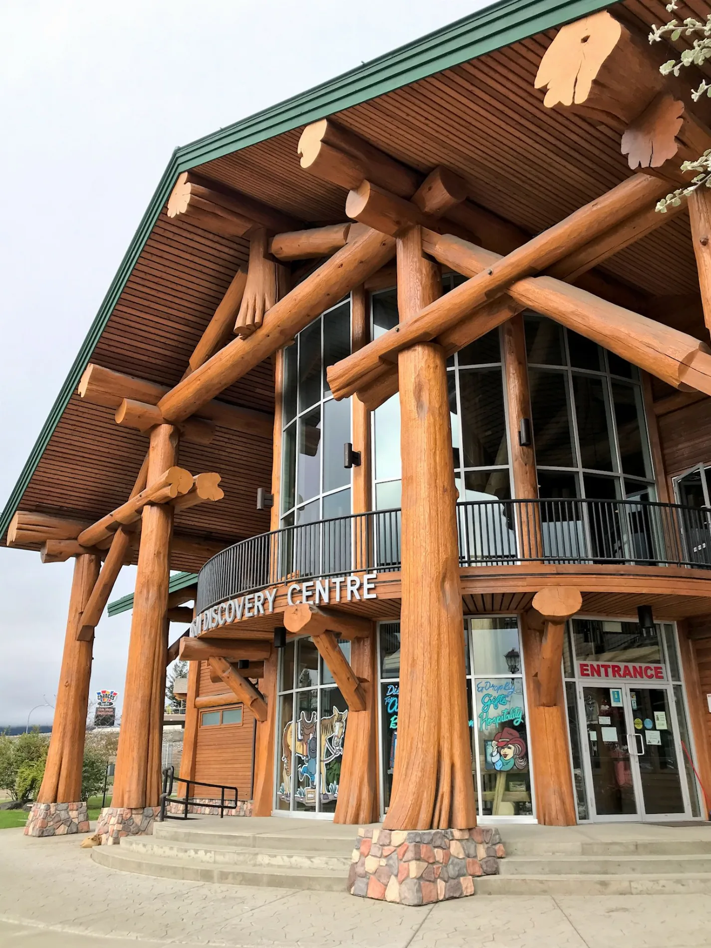
- Museum of the Cariboo-Chilcotin (web) at Boradway Ave S B-1660 (V2G 2W4).
Motel
Roads nearby
Cariboo HighwayCo-op Gas Bar, ValleyView Motel, Lakeside Motel, BarBurrito
100 m
Signal Point Road100 m
TDC Trail300 m
Fox Mountain Trail450 m
Wood Road450 m
Exshaw Crescent500 m
Fox Connector550 m
Hamel Road650 m
Boe Place750 m
Herbert Road850 m
Kozuki Road900 m
Jimmy's Fox950 m
Jimmy's Fox (old)1000 m
Rowat Road1,0 km
Duncan Road1,1 km
Island Trail1,1 km
Borland RoadSan Jose 6
1,2 km
Coleman Road1,2 km
Itchy Scratchy1,3 km
Willow Trail1,3 km
Mitch's Brew Cougar Pass1,3 km
Fox Rocks1,3 km
Dog Bone1,3 km
Dutch Point Road1,4 km
Lakeside Drive SouthMobil, Wholesale Club
1,4 km
Birch Hill Road1,4 km
Willow Place1,4 km
South Lakeside Drive1,5 km
Mann Road1,5 km
Scout Island Road1,5 km
Paxton Road1,5 km
White Road1,5 km
Juniper Street1,5 km
Kracker Jack1,5 km
Holly Street1,5 km
Renner Road1,5 km
Boehm Road1,6 km
Hazel Street1,6 km
Bass Road1,6 km
Lakeside Drive North1,6 km
P-Trail1,6 km
Evergreen Street1,6 km
Spruce Hill Road1,7 km
2 Fridge1,7 km
Stella1,8 km
Kilkenny1,8 km
Casinos nearby
Chances150 m
Parks nearby
Scout Island Nature Centre1,2 km
Streams nearby
Weetman Creek1,7 km
 Public transport map Williams Lake Legend
| Railway | |
| Bus | |
| Tram |
 Cycling map Williams Lake Legend
| Cycle path | |
| Cycle lane on road | |
| Cycling on bus lane | |
| Bicycle street | |
| Cyclists allowed | |
| Cyclists allowed, good surface | |
| No cycling | |
| Cobblestones |
| Long-distance cycle route | (depending on scale) | |
| Long-distance cycle route |
 Walking map Williams Lake Legend
| Path |
| Long-distance hiking trail | (depending on scale) | |
| Long-distance hiking trail | ||
| No pedestrians |