
Area H (Cultus Lake/Columbia Valley), British Columbia
Area H (Cultus Lake/Columbia Valley) is located in Fraser Valley Regional District. Area H (Cultus Lake/Columbia Valley) has around 563 streets. Among other things, Area H (Cultus Lake/Columbia Valley) has public transport and restaurants.
Photos from Area H (Cultus Lake/Columbia Valley)
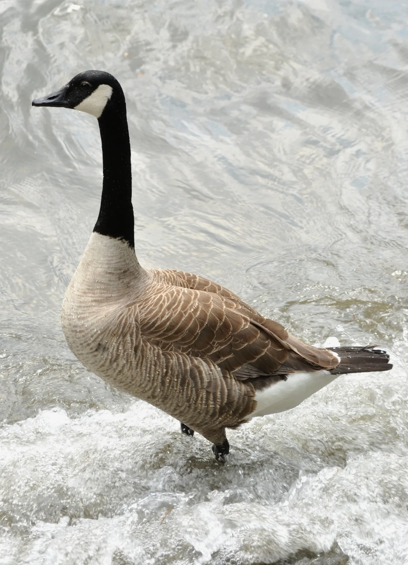
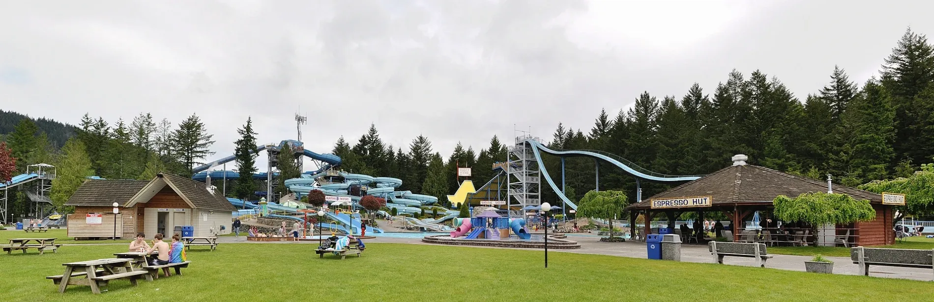
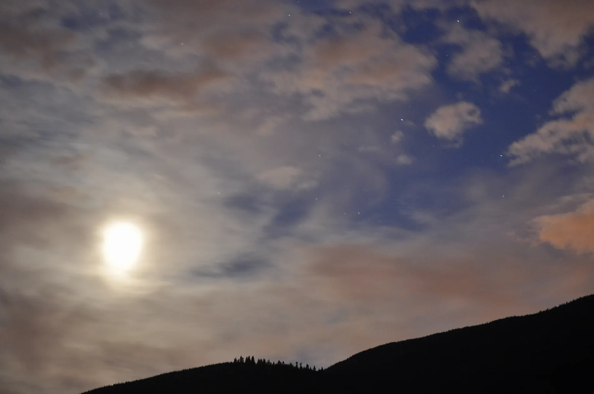


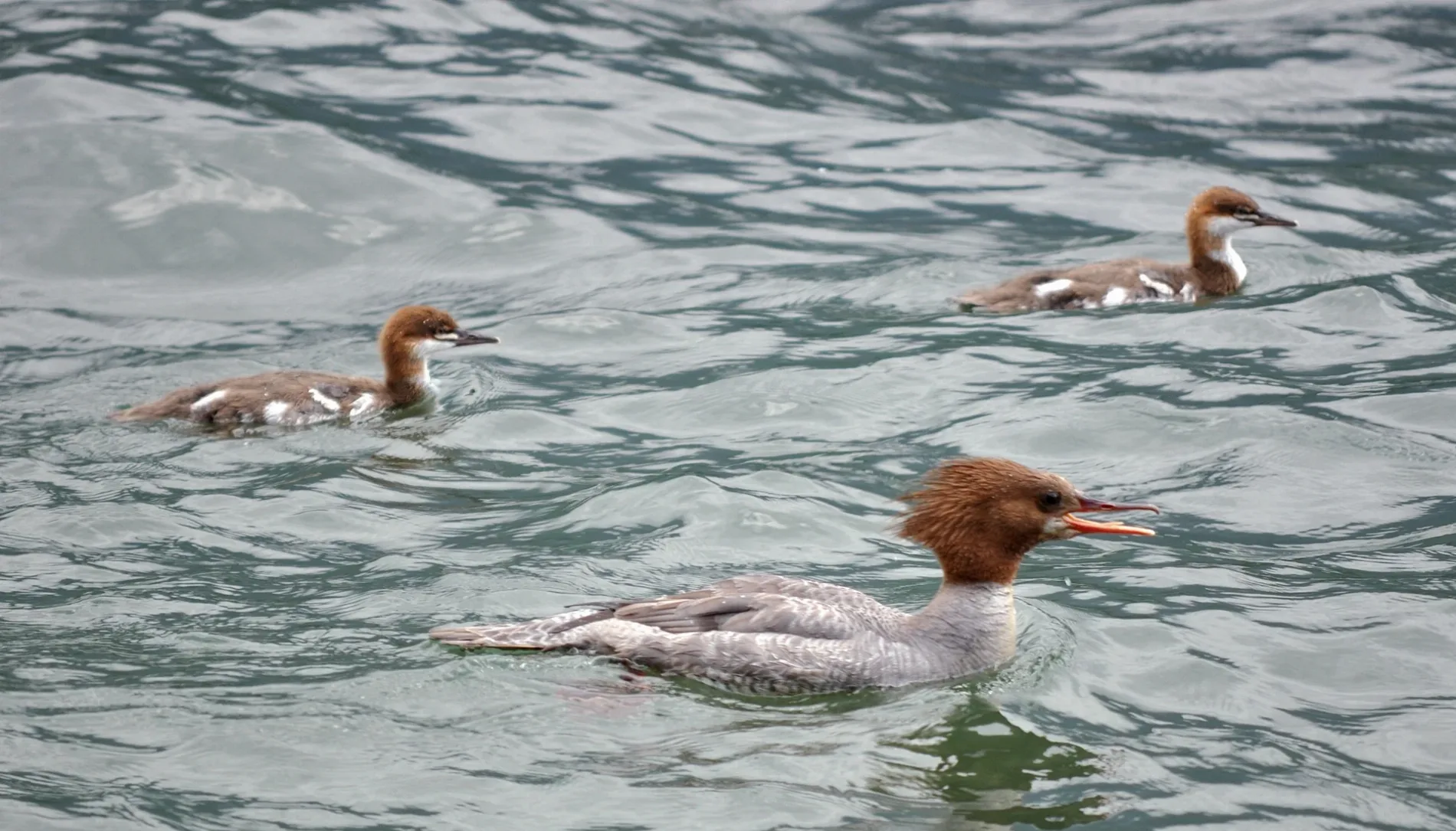
Area H (Cultus Lake/Columbia Valley)
This page is the City map of Area H, showing roads, paths and places in the Cultus Lake and Columbia Valley area of British Columbia, Canada. Area H is an electoral area of the Fraser Valley Regional District, which also includes the cities of Abbotsford, Chilliwack, Mission and Hope. Cultus Lake lies south of Chilliwack in the Fraser Valley, while Columbia Valley is located near the lake and the United States border. The map identifies the local settlements, transport routes and geographic features within this regional-district area.
Data sources: OpenStreetMap (ODbL), Wikidata (CC0)
Roads in Area H (Cultus Lake/Columbia Valley), British Columbia
Roads
Cabins
Industrial areas
Military areas
Quarries
Residential buildings
| Railway | |
| Bus | |
| Tram |
| Cycle path | |
| Cycle lane on road | |
| Cycling on bus lane | |
| Bicycle street | |
| Cyclists allowed | |
| Cyclists allowed, good surface | |
| No cycling | |
| Cobblestones |
| Long-distance cycle route | (depending on scale) | |
| Long-distance cycle route |
| Path |
| Long-distance hiking trail | (depending on scale) | |
| Long-distance hiking trail | ||
| No pedestrians |