
Georgia Street in Burnaby Heights
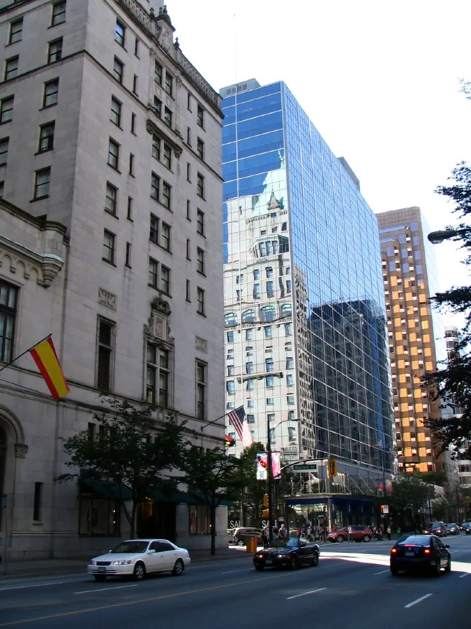
Georgia Street in Burnaby is an asphalted, lit residential street. There is no cycle path. It runs in an east-west direction starting from Boundary Road and crosses Esmond Avenue, Ingleton Avenue, MacDonald Avenue, Gilmore Avenue, Carleton Avenue, Madison Avenue, Rosser Avenue, Willingdon Avenue, Alpha Avenue, Beta Avenue and Gamma Avenue. It ends in a cul-de-sac. Georgia Street also exists in Lochdale. Ⓦ.
- Road Type
- residential street
- Route
- east-west
Bus stops
Lighting shops
Bakeries
Jewellers
Restaurants
Bank
Pet groomings
Cafés
Pharmacy
Dentist
Pet shops
Roads nearby
Alpha Ave Bike Route50 m
Venables Street300 m
Willingdon Urban TrailAfghan Turkish Cuisine, Crema Ice Cream & Desserts, Phase 1 Systems, Willingdon Ave (NB) at Georgia St
300 m
Parker Street350 m
Napier StreetGFZ Studios, Quality Coffee Systems, Centanni Tile
450 m
Willingdon AvenueWillingdon Ave (SB) at Pender St, Willingdon Ave (SB) at Dundas St, Willingdon Ave (NB) at Triumph St, Willingdon Ave (SB) at Pandora St, Willingdon Ave (NB) at Albert St, Willingdon Ave (NB) at Parker St, Willingdon Ave (SB) at Union St, Willingdon Ave (SB) at Frances St
450 m
Alpha AvenueBPL: McGill Library, Norburn Lighting
450 m
Frances StreetVentilation House
450 m
Albert StreetAurora Montessori Children's House, Fawkes Academy, Burnaby Heights Persian Market and Halal Meats, Bitcoin ATM Localcoin, Confederation Community Centre
450 m
Rosser Avenue500 m
Beta Avenue500 m
Westlawn Drive550 m
Alpha Drive550 m
Union Street600 m
William StreetDC Power Group, Premier Lighting, The Car Place, Carstar, Imperial Paddock Pools, Canadian Body Shop Supply
600 m
Charles StreetMagnum Engined Service, FiberTek
650 m
Triumph Street650 m
Pender StreetPender St (WB) at Willingdon Ave, BC Liquor Stores, Early Steps
700 m
Madison Avenue750 m
Apartment buildings nearby
Villa Contessa350 m
Altezza400 m
Tara Apartments400 m
Villa Leone400 m
Valeo450 m
Forte450 m
Beta450 m
Villa Cortina550 m
Villa Torino600 m
Modena750 m
Cafés nearby
BenzX Cafe500 m
Civic buildings nearby
Confederation Park Senior's Centre500 m
Community centres nearby
Summit Youth Centre600 m
Constructions nearby
Vitorri450 m
Siena500 m
Dental practices nearby
North Burnaby Orthodontics350 m
Funeral directors nearby
Kearney Funeral Services400 m
Bell & Burnaby Funeral Chapel750 m
Greengrocers nearby
Triple A Market550 m
Picnic site nearby
Picnic Area #1650 m
Places of worship nearby
Willingdon Heights United Church700 m
Residential areas nearby
Chelsea Heights500 m
Cranberry Commons Cohousing800 m
Retail buildings nearby
Fiorita300 m
The Cooperators650 m
Sports centres nearby
Eileen Dailly Leisure Pool & Fitness Centre600 m
Sports pitches nearby
Confederation Park Upper600 m
Sohen Gill Sports Box600 m
Supermarkets nearby
Safeway400 m
Tracks nearby
Confederation Park Oval Track700 m
| Named after | Strait of Georgia |
|---|---|
| Country | Canada |
| Has part | West Georgia Street |
Public transport map Burnaby Heights Legend
| Railway | |
| Bus | |
| Tram |
Cycling map Burnaby Heights Legend
| Cycle path | |
| Cycle lane on road | |
| Cycling on bus lane | |
| Bicycle street | |
| Cyclists allowed | |
| Cyclists allowed, good surface | |
| No cycling | |
| Cobblestones |
| Long-distance cycle route | (depending on scale) | |
| Long-distance cycle route |
Walking map Burnaby Heights Legend
| Path |
| Long-distance hiking trail | (depending on scale) | |
| Long-distance hiking trail | ||
| No pedestrians |