
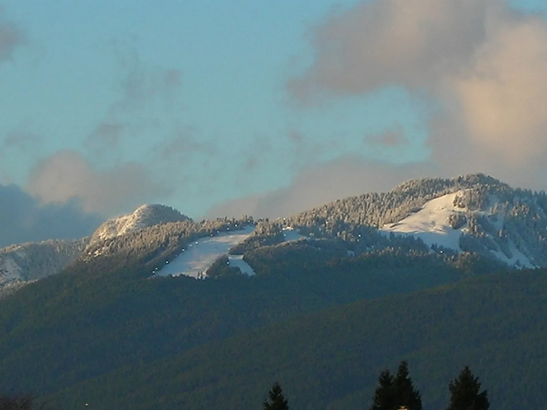
Grouse Grind in North Vancouver, British Columbia
Grouse Grind in District of North Vancouver is a dirt path. It runs as a one-way street in a southwest-northeast direction and ends in a cul-de-sac. In the vicinity, you can find 5 tourist information offices. The nearest stop in the vicinity is Grouse Mountain (approx. 700 m away). Ⓦ.
- Bicycle
- no
- Road Type
- path
- Route
- northeast-southwest
Image
Tourist information offices
Roads nearby
Flint and Feather Trail450 m
BCMC TrailAltitudes Bistro, Lupins Café, Theatre In The Sky, Spirit Gallery Gift Shop, Grouse Mountain Outfitters, Grouse Grind Coffee Bar, Observatory Restaurant
500 m
Taint550 m
BCMC Trail - West700 m
Gondola Queue AreaGrouse Mountain
750 m
Boc RockScreaming Eagle Mid-Station
750 m
Winter Access To Grouse and Baden Powell Trails750 m
Baden Powell TrailGrouse Grind Trailhead, Quarry Rock Lookout, MK 016, MK 015, MK 017, MK 003, MK 004, MK 005, MK 006, MK 007, MK 001, MK 002, MK 013, Seymour Provincial Park Baden Powell Trailhead, MK 014, MK 008, Baden Powell Traillhead, MK 009, MK 010, MK 011, MK 012
750 m
Grouse Mountain HighwayChalet, Ice Rink, Water Towers
750 m
Paper Shredder800 m
Papercut800 m
Nancy Greene WayNancy Greene Way (NB) at Woodchuck Pl, Nancy Greene Way (NB) at Grousewoods Dr, Nancy Greene Way (NB) at Prospect Ave, Nancy Greene Way (SB) at Blue Grouse Way, Nancy Greene Way (SB) at Grousewoods Dr
800 m
Larsen Trail800 m
Oh Well900 m
Access Granted900 m
SIMIC Trail900 m
Upper It's Logical900 m
Water Boy950 m
Lower It's Logical950 m
Capilano MainBase Terminal
950 m
Owl Court1000 m
Old BCMC Trail1000 m
Lettuce Rap1000 m
Grouse Woods1,0 km
Eagle Court1,0 km
Covey Place1,1 km
Grousewoods CrescentGrousewoods
1,1 km
Teddy Bear Lane1,2 km
Bare rocks nearby
Skyride Bluffs400 m
Body of waters nearby
Blue Grouse Lake950 m
Buildings nearby
Snow School800 m
Snow School Storage850 m
Ski Wee1,1 km
Industrial buildings nearby
Peak Office1,1 km
Nature reserves nearby
Grouse Mountain Regional Park550 m
Quarries nearby
Grouse Pit1,1 km
Residential areas nearby
Grousemont Estates1000 m
Retail buildings nearby
Peak Chalet700 m
Ski Rental Shop800 m
Ruins nearby
Ruined Cabin750 m
Streams nearby
Grousewoods Spur 2b100 m
Grouse Creek300 m
Grousewoods Spur300 m
Grousewoods Spur 2c450 m
Drifter Creek800 m
Windsor Creek1,1 km
Mackay Creek1,2 km
Lions Creek1,5 km
Zoo nearby
Grizzly Bear Habitat1,1 km
| Elevation | 1231 m |
|---|---|
| Located in | North Vancouver |
| Country | Canada |
| Location | North Vancouver |
 Public transport map District of North Vancouver Legend
| Railway | |
| Bus | |
| Tram |
 Cycling map District of North Vancouver Legend
| Cycle path | |
| Cycle lane on road | |
| Cycling on bus lane | |
| Bicycle street | |
| Cyclists allowed | |
| Cyclists allowed, good surface | |
| No cycling | |
| Cobblestones |
| Long-distance cycle route | (depending on scale) | |
| Long-distance cycle route |
 Walking map District of North Vancouver Legend
| Path |
| Long-distance hiking trail | (depending on scale) | |
| Long-distance hiking trail | ||
| No pedestrians |