West King Edward Avenue in Arbutus-Ridge, Vancouver, British Columbia

West King Edward Avenue in Vancouver is a single-lane, asphalted secondary road (50 km/h). The road has cycle paths (cycle lane) in some sections. There is a parking ban on some sections. It runs in an east-west direction starting from Crown Street and crosses Wallace Street, Highbury Street, Dunbar Street, Dunkirk Street, Collingwood Street, Blenheim Street, Balaclava Street, Quesnel Drive, Puget Drive, Macdonald Street and East King Edward Avenue. It connects Riley Park, Dunbar-Southlands, Shaughnessy, Arbutus-Ridge and South Cambie. This road is part of the bicycle route "King Edward Bikeway". In the vicinity, you can find among other things 2 benches. The nearest stops include West King Edward Ave (EB) at Brakenridge St, West King Edward Ave (WB) at Valley Dr, West King Edward Ave (WB) at Trafalgar St, West King Edward Ave (WB) at Yew St and West King Edward Ave (EB) at Valley Dr. The bus lines 2, 25 and N22 serve this stop.

Road Type
secondary road
Lanes
1
Speed Limit
50
Route
east-west

Image

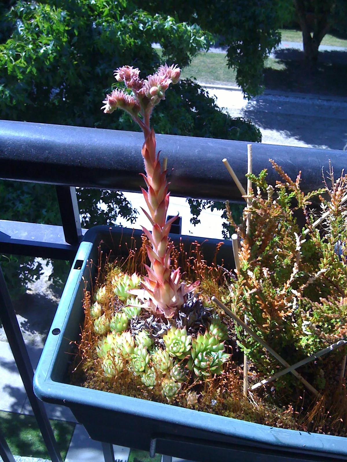
Hens And Chicks Mature Stalk
Hens and Chicks at maturity, 3 year old plant, 25cm tall flowering stalk – Jlbertra, cc by – Wikimedia Commons

Bus stops

  • West King Edward Ave (EB) at Brakenridge St.
  • West King Edward Ave (WB) at Valley Dr.
  • West King Edward Ave (WB) at Trafalgar St.
  • West King Edward Ave (WB) at Yew St.
  • West King Edward Ave (EB) at Arbutus St.
  • West King Edward Ave (WB) at Arbutus St.
  • West King Edward Ave (EB) at Valley Dr.
  • West King Edward Ave (EB) at Puget Dr.
  • West King Edward Ave (EB) at Yew St.
  • West King Edward Ave (WB) at Macdonald St.
  • bus lines 2, 25, N22

Roads nearby

Oliver Crescent
150 m
Brakenridge Street
150 m
Edgar Crescent
250 m
Macdonald Street
Macdonald Street (NB) at West King Edward Avenue, Macdonald St (SB) at West 16th Ave, Macdonald St (SB) at Alamein Ave, Macdonald St (NB) at Oliver Cres, Macdonald St (SB) at West 21st Ave, Macdonald St (NB) at West 22nd Ave, Jimmy's Market, The Patty Shop, Moki's Pizza
350 m
McMullen Avenue
350 m
Valley Drive
St. George’s Greek Orthodox Church, Chevron
400 m
Townley Street
400 m
West 30th Avenue
400 m
McBain Avenue
450 m
Trafalgar Street
450 m
Quesnel Drive
450 m
Elm Street
450 m
Paton Street
450 m
West 31st Avenue
29 3/4 63
450 m
West 24th Avenue
Ridge Garden
500 m
Narvaez Drive
500 m
West 28th Avenue
550 m
Haggart Street
Prince of Wales Mini School, Arbutus Ridge
550 m
West 29th Avenue
550 m
Alamein Avenue
550 m
Vine Street
600 m
Eddington Drive
600 m
Mackenzie Street
Mackenzie Street (NB) at West 30th Avenue, Mackenzie Street (SB) at West 29th Avenue, Mackenzie Street (SB) at West 33rd Avenue, Mackenzie Street (NB) at West 34th Avenue, Mackenzie Street (SB) at West 37th Avenue, Mackenzie Street (NB) at West 38th Avenue
600 m
Puget Drive
650 m
West 23rd Avenue
650 m
West 22nd Avenue
650 m
Lahb Avenue
Safeway, BC Liquor Store, BMO, Starbucks
700 m
Ravine Park Trail
700 m
Parkway Drive
750 m
Briar Avenue
750 m
Arbutus Street
Arbutus St (SB) at 4200 Block, Arbutus St (SB) at West 35th Ave, Arbutus St (NB) at West 37th Ave, Arbutus St (SB) at West 19th Ave, Arbutus St (SB) at West 16th Ave, Arbutus St (SB) at West King Edward Ave, Arbutus St (NB) at Nanton Ave, Arbutus St (NB) at Valley Dr, Arbutus St (SB) at Valley Dr, Arbutus St (SB) at West 32nd Ave, Arbutus St (NB) at West 33rd Ave, Arbutus St (NB) at Quilchena Cres, Arbutus St(NB) at West King Edward Ave, Arbutus St (SB) at West 21st Ave, Arbutus St (NB) at West 19th Ave, Canada Post
750 m
Springtree Drive
800 m
Nanton Avenue
800 m
West 32nd Avenue
850 m
Yew Street
Shota Sushi & Grill, Isola Bella
850 m
Maple Street
900 m
West 34th Avenue
900 m
West 33rd Avenue
900 m