
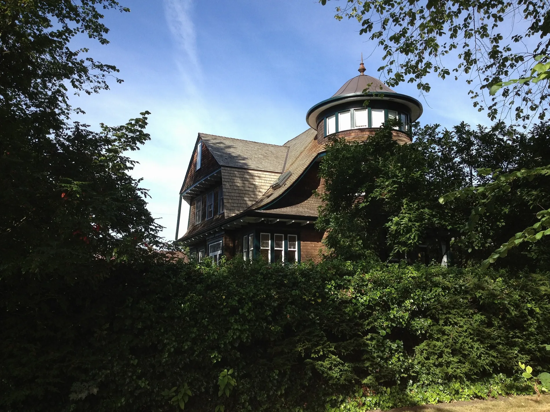
Cypress Bikeway in Shaughnessy, Vancouver, British Columbia
Cypress Bikeway in Vancouver is an asphalted cycle path (30 km/h) and runs in a north-south direction starting from Cypress Street and crosses West 19th Avenue and Cedar Crescent.
- Road Type
- cycle path
- Speed Limit
- 30
- Route
- north-south
Image
Bus stops
Roads nearby
Cypress Street150 m
Hosmer Avenue200 m
West 19th Avenue200 m
Maple Street250 m
West 18th Avenue250 m
West 17th Avenue250 m
West 20th Avenue300 m
East Boulevard350 m
Angus Drive350 m
20th Avenue Path350 m
Matthews Avenue350 m
Burrard Street400 m
Arbutus StreetArbutus St (SB) at West 35th Ave, Arbutus St (NB) at West 37th Ave, Arbutus St (SB) at West 19th Ave, Arbutus St (SB) at 4200 Block, Arbutus St (SB) at West 16th Ave, Arbutus St (SB) at West King Edward Ave, Arbutus St (NB) at Nanton Ave, Arbutus St (NB) at Valley Dr, Arbutus St (SB) at Valley Dr, Arbutus St (SB) at West 32nd Ave, Arbutus St (NB) at West 33rd Ave, Arbutus St (NB) at Quilchena Cres, Arbutus St(NB) at West King Edward Ave, Arbutus St (SB) at West 21st Ave, Arbutus St (NB) at West 19th Ave, Canada Post
400 m
West 16th Avenue400 m
Maple Crescent400 m
Marpole AvenueMarpole Ave (EB) at McRae Ave
400 m
Pine Street450 m
Cedar Crescent450 m
Arbutus GreenwayQuilchena Park Washrooms, West Blvd (NB) at West 39th Ave, Vancouver - Kerrisdale
500 m
Alexandra Street500 m
West King Edward AvenueWest King Edward Ave (WB) at Pine Cres, West King Edward Ave (EB) at Maple Cres, West King Edward Ave (EB) at Cypress St, West King Edward Ave (EB) at Marguerite St, West King Edward Ave (WB) at Granville St, West King Edward Ave (WB) at Maple Cres, West King Edward Ave (EB) at Granville St, West King Edward Ave (EB) at Hudson St, Dragon Ball Tea House, Westcoast Women's Clinic, West King Edward Ave (WB) at Oak St, West King Edward Ave (WB) at Selkirk St, West King Edward Ave (WB) at Marguerite St, West King Edward Ave (EB) at Alexandra St
550 m
Pine Crescent550 m
Yew StreetShota Sushi & Grill, Isola Bella
600 m
Fir Street600 m
West 14th Avenue14th & Granville, Crab Hot Lau, Little Free Library, St. Mary Magdalene Anglican Church, The Firewood Café, Sedap Plus, 14th & Cambie, Passion8 Dessert Cafe, Quickstop, Hot Delivery, Bitcoin ATM Coinsite, Tip Toe, Royal Vape, 14th & Oak, Meinhardt, Bin 4 Burger Lounge, Kingdom Jewelry, 14th & Alder
750 m
West 15th AvenuePentecostal Tabernacle, Sushi Umi, King Living, West 15th Ave (WB) at Birch St, Prospera Credit Union, Scrub Depot, Max's Deli, Oaksville Laundromat, Joon's Kitchen, Pharmasave, Una Medical Clinic
800 m
West 13th AvenueKids at Heather, CIBC, Granville Park, Anthropologie
850 m
West 12th AvenueWest 12th Avenue (EB) at Pine Street, West 12th Avenue (WB) at Pine Street, Starbucks, West 12th Avenue (EB) at Oak Street, Cardiodiagnostic Centre, Shaughnessy Village, TD, Impark, CTBC Bank, Scotiabank, Bacci's, Gary's, West 12th Avenue (WB) at Heather Street, West 12th Avenue (EB) at Heather Street, West 12th Avenue (EB) at Laurel Street, West 12th Avenue (WB) at Laurel Street, Pacific Theatre, ChiuChow Seafood Restaurant, Hye Park Express, Expedia Cruises, Warriors & Wonders, City Square, West 12th Avenue (WB) at Cambie Street, Cookshop, Dollarama, A&W, City Square Dental Center, Olive Fertility Centre Vancouver, Salad House, Pharmasave, Sungiven Foods, Body Energy Club, Untitled
850 m
West 11th Avenue900 m
Apartment buildings nearby
Viridian600 m
Forte650 m
Willingdon Lodge700 m
Gloucester Court700 m
The Maple Lodge800 m
Buildings nearby
Canuck Place Children’s Hospice550 m
Kingswood800 m
Car dealerships nearby
Mr Lube800 m
AAMCO Transmissions850 m
Churches nearby
Fairview Baptist Church450 m
Commercial buildings nearby
Hycroft Centre800 m
Industrial areas nearby
Sperling Annex Rectifier Station500 m
Military areas nearby
15th Field Artillery Regiment, RCA900 m
Parks nearby
Angus Park400 m
Granville Park650 m
Places of worship nearby
Canadian Memorial United Church450 m
Second Church of Christ, Scientist750 m
Sports centres nearby
Vancouver Lawn Tennis and Badminton Club600 m
Granville Park Lawn Bowls Club750 m
Other nearby
Sperling Substation550 m
Public transport map Shaughnessy Legend
| Railway | |
| Bus | |
| Tram |
Cycling map Shaughnessy Legend
| Cycle path | |
| Cycle lane on road | |
| Cycling on bus lane | |
| Bicycle street | |
| Cyclists allowed | |
| Cyclists allowed, good surface | |
| No cycling | |
| Cobblestones |
| Long-distance cycle route | (depending on scale) | |
| Long-distance cycle route |
Walking map Shaughnessy Legend
| Path |
| Long-distance hiking trail | (depending on scale) | |
| Long-distance hiking trail | ||
| No pedestrians |