
First Street in Invermere, British Columbia
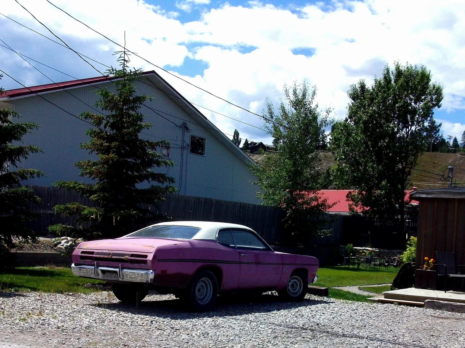
First Street in Invermere is a two-lane, unpaved residential street. It runs in a southeast-northwest direction starting from Laurier Street and ends at Tarte Street. First Street also exists in Capital Regional District, Cowichan Valley Regional District, Alberni-Clayoquot Regional District, Comox Valley Regional District and Metro Vancouver Regional District.
- Road Type
- residential street
- Lanes
- 2
- Route
- southeast-northwest
Image
Shoe shops
Restaurants
Petrol stations
Library
Game shops
Pubs
Hostel
Museum
- Windermere Valley Museum (opening hours: 10–16, web) at 6th avenue 222 (V0A 1K0) – approx. 650 m.
Bus stops
Electronics shops
Bar
Roads nearby
Tarte Street50 m
Second Avenue200 m
Mulock Street200 m
Third Avenue400 m
Sifton Street400 m
Laurier StreetWindermere Valley Museum, Invermere Public Library, Petro-Canada
400 m
Cartwright Street450 m
Fourth AvenueInvermere Hostel
450 m
Blair Street550 m
Athalmer RoadWelcome to Invermere, Pete's Marina, Shell, McDonald's
600 m
Eagle Summit650 m
Lakeview Place650 m
Fifth Avenue650 m
Panorama Drive650 m
Eagle Ranch Trail650 m
7th AvenueSafta's, Main Street Fun and Games, Summit Footwear
650 m
1st Street700 m
Borden Street700 m
Industrial 1 Road700 m
3rd Avenue750 m
Lakeview Road750 m
Eagle Ridge800 m
4th StreetInvermere: Sobey's
800 m
6th Street850 m
11th Avenue950 m
9th Street950 m
5th Street1000 m
12th Avenue1,0 km
12A Avenue1,0 km
10th Avenue1,0 km
4th Avenue1,1 km
9th Avenue1,1 km
2nd Street1,1 km
6th AvenueThe Station, The Station Neighborhood Pub
1,1 km
5th Avenue1,1 km
10th Street1,2 km
8th AvenueInvermere
1,2 km
Buildings nearby
Invermere Community Centre800 m
Chisel Peak clinic950 m
Doctor's practice nearby
Invermere Medical Clinic1,1 km
Fast food restaurants nearby
A&W300 m
Fitness centres nearby
YPC- Your Personal Connection550 m
Ice cream parlours nearby
Gerry's Gelati1,2 km
Nature reserves nearby
James Chabot Provincial Park350 m
Parks nearby
Pothole Park1,1 km
Restaurants nearby
China Town1,1 km
Rivers nearby
Columbia River800 m
Supermarkets nearby
Sobeys900 m
Other nearby
Invermere (Hospital) Heliport1,2 km
 Public transport map Invermere Legend
| Railway | |
| Bus | |
| Tram |
 Cycling map Invermere Legend
| Cycle path | |
| Cycle lane on road | |
| Cycling on bus lane | |
| Bicycle street | |
| Cyclists allowed | |
| Cyclists allowed, good surface | |
| No cycling | |
| Cobblestones |
| Long-distance cycle route | (depending on scale) | |
| Long-distance cycle route |
 Walking map Invermere Legend
| Path |
| Long-distance hiking trail | (depending on scale) | |
| Long-distance hiking trail | ||
| No pedestrians |