
Invermere, British Columbia
Invermere is located in Regional District of East Kootenay. The area is situated on the Columbia River and Windermere Lake. About 3,917 people live here (as of 2021). Between 2016 and 2021, the population grew from 3,391 to 3,917. The region lies at 859 metres above sea level. Its area extends over around 8.4 square kilometres. Invermere has around 299 streets. The region was founded in the year 1951. Invermere is district municipality in British Columbia, Canada. Among other things, Invermere has restaurants and museums. For more information, see invermere.net.
Invermere – Facts
| Inhabitants | 3917 |
|---|---|
| Area | 8.4 km² |
| Inception | 1951 |
| Elevation | 859 m |
| Located in | Regional District of East Kootenay |
| Country | Canada |
| Body of water | Columbia River, Windermere Lake |
| Website | https://invermere.net/ |
Data source: Wikidata (CC0)
Photos from Invermere
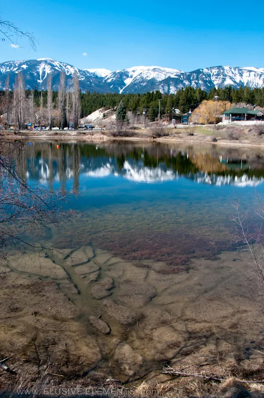
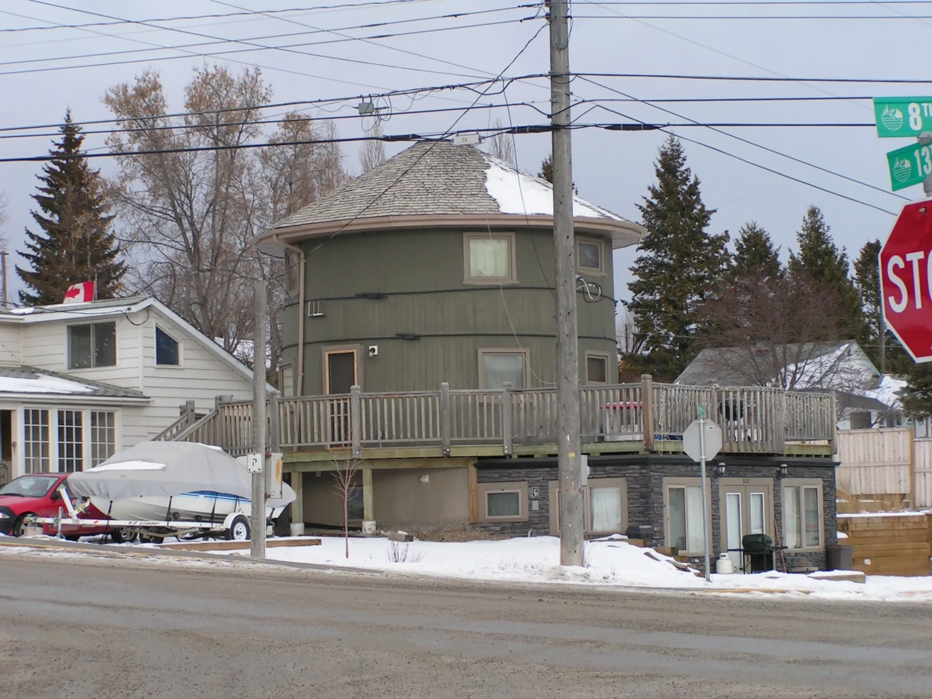
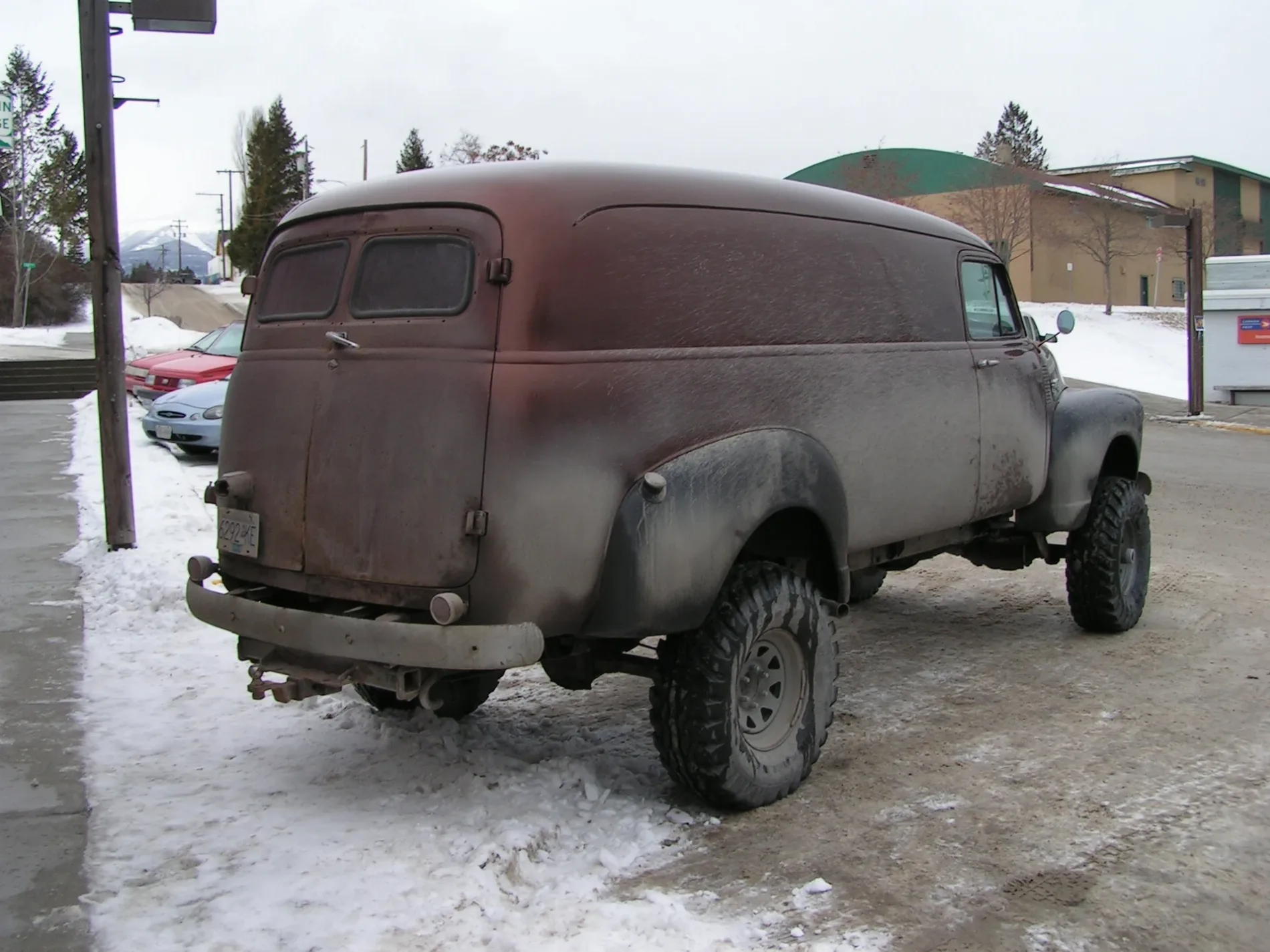
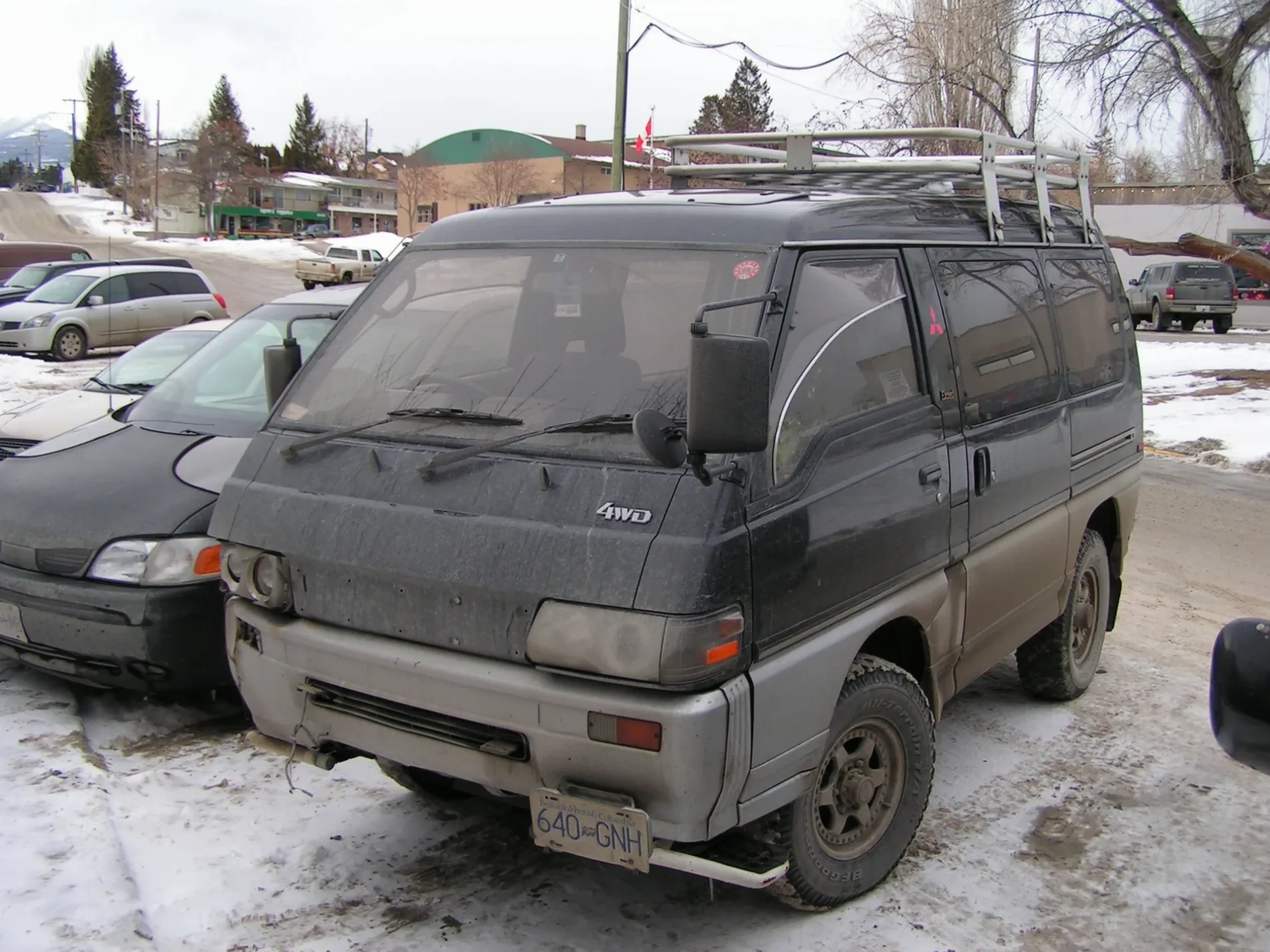
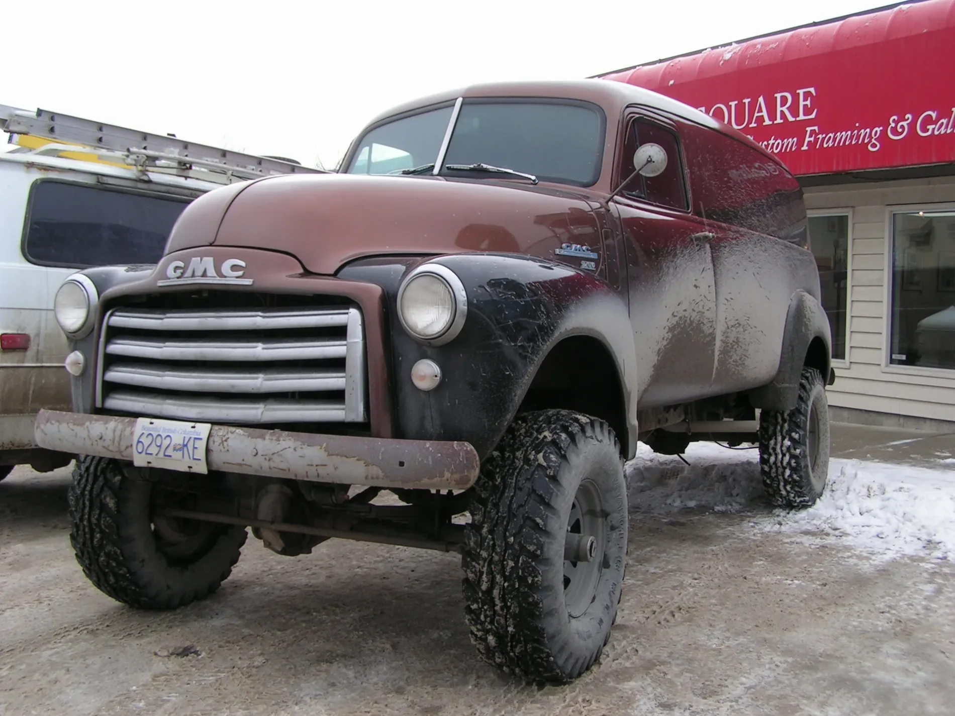
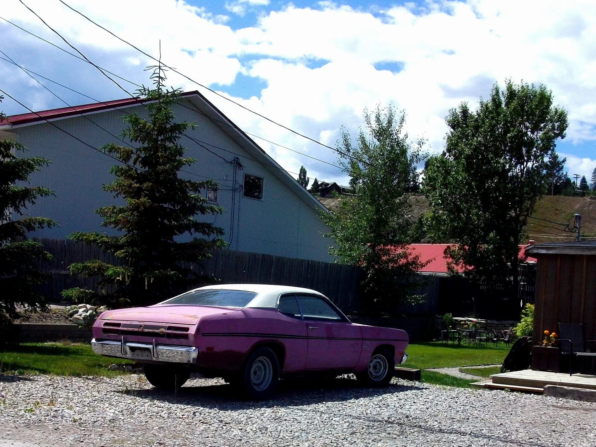
Roads in Invermere, British Columbia
Roads
Third Avenue
Panorama Drive
Toby Creek Road
Laurier Street
Windermere Valley Museum, Invermere Public Library, Petro-Canada
Second Avenue
14th Street
13th StreetThe Source
8th AvenueInvermere
Mountainview Crescent
10th Street
Industrial 1 Road
6th AvenueThe Station, The Station Neighborhood Pub
13th Avenue
12th Avenue
Pine Ridge Mountain Gate
Industrial 2 Road
Castlestone Boulevard
14A Crescent
4th Avenue
3rd Avenue
11th Avenue
10th Avenue
Tarte Street
Westridge View
Borden Street
15th Avenue
9th Avenue
5th Avenue
Johnston Road
16th Street
Fourth AvenueInvermere Hostel
Canyon View Road
Pine Ridge Drive
Westridge Drive
Castlestone Drive
7th Street
Industrial 4 Road
Westside Park Avenue
Mulock Street
Pine Ridge Mountain Place
4th StreetInvermere: Sobey's
Carpenters Lane
9th Street
15th Street
18th Street
Blair Street
5th Street
1st Street
Westridge Way
Westside Park Drive
2nd Avenue
1A Avenue
17th Street
2nd Street
Stark Drive
12th Street
Westridge Place
First Street
12A Avenue
6th Street
Cartwright Street
Lakeview Rise
Westside Road
Pinetree Road
17A Street
7th AvenueSafta's, Main Street Fun and Games, Summit Footwear
Industrial 3 Road
John Woods Road
20th Street
Sifton Street
Pine Ridge Mountain Link
Taynton Drive
10A Avenue
Walker Lane
Beach Drive
Pineridge Drive
Sandstone Court
21st Street
14th Avenue
Sandstone View
7A Avenue
Fifth Avenue
Brewer Ridge Rise
Taynton Trail
Lakeview Lane
Kpokl Road
Kpokl Lane
Pine Ridge Mountain Trail
Sandstone Manor
23A Avenue
Cobblestone Trail
Cobblestone Circle
Ledgerock Ridge
Pinetree Place
Ledgerock Court
Sandstone Circle
Sandstone Green
Sandstone Mews
12th a Avenue
Pine-Arches
Dragstrip
Elevator
Cheater
The Bus Tour
Toby Creek Connector
Criss Cross
RoscoBars
Beaches
Body of waters
Butcher's
Car repair shops
Clothing shops
Community centres
Department stores
Doctor's practice
Dog parks
Fast food restaurants
Fitness centres
Hospitals
Hotels
Ice cream parlours
Nature reserves
Off-licences
Pharmacies
Post offices
Pubs
Railway lines
Residential buildings
Restaurants
Rivers
Streams
Supermarkets
Town halls
 Public transport map Invermere Legend
| Railway | |
| Bus | |
| Tram |
 Cycling map Invermere Legend
| Cycle path | |
| Cycle lane on road | |
| Cycling on bus lane | |
| Bicycle street | |
| Cyclists allowed | |
| Cyclists allowed, good surface | |
| No cycling | |
| Cobblestones |
| Long-distance cycle route | (depending on scale) | |
| Long-distance cycle route |
 Walking map Invermere Legend
| Path |
| Long-distance hiking trail | (depending on scale) | |
| Long-distance hiking trail | ||
| No pedestrians |