
Lakeview Lane in Invermere, British Columbia
Lakeview Lane in Invermere is a single-lane, unpaved residential street and it runs in a southeast-northwest direction starting from 2nd Avenue and ends in a cul-de-sac.
- Road Type
- residential street
- Lanes
- 1
- Route
- southeast-northwest
Image
Game shops
Bus stops
Petrol stations
Restaurants
Shoe shops
Museum
- Windermere Valley Museum (opening hours: 10–16, web) at 6th avenue 222 (V0A 1K0) – approx. 1,4 km.
Bar
Pubs
Electronics shops
Library
Hostel
Roads nearby
2nd Avenue50 m
3rd Avenue100 m
16th Street150 m
1A Avenue200 m
17th Street300 m
4th Avenue350 m
14th Street350 m
18th Street400 m
14A Crescent450 m
Beach Drive450 m
7A Avenue500 m
15th Street550 m
13th StreetThe Source
600 m
7th AvenueSafta's, Main Street Fun and Games, Summit Footwear
650 m
5th Avenue650 m
Lakeview Road750 m
12th Street800 m
8th AvenueInvermere
800 m
6th AvenueThe Station, The Station Neighborhood Pub
800 m
9th Avenue850 m
10th Street850 m
9th Street900 m
Banks nearby
BMO600 m
CIBC600 m
Bars nearby
Ullr Bar700 m
Beaches nearby
Kinsmen Beach500 m
Body of waters nearby
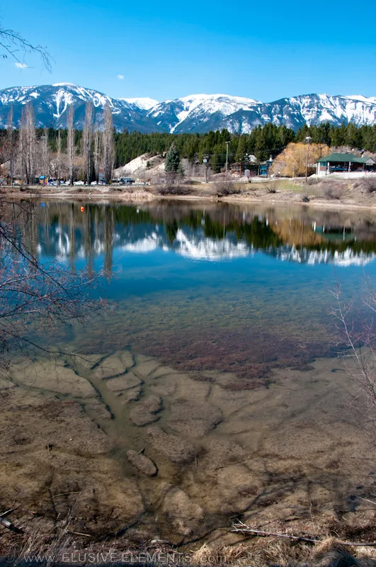
Dorothy Lake300 m
Buildings nearby
Pynelogs Cultural Centre400 m
Butcher's nearby
Konig Meat and Sausage Company650 m
Clothing shops nearby
Shopping Stores650 m
Community centres nearby
Legion Local Branch 71 Windermere District500 m
Department stores nearby
Fields500 m
Doctor's practice nearby
Invermere Medical Clinic850 m
Hotels nearby
Invermere Inn & Suites600 m
Ice cream parlours nearby
Gerry's Gelati700 m
Motel nearby
The Canterbury Inn of Downtown Invermere700 m
Off-licences nearby
BC Liquor Store500 m
Pharmacies nearby
Lambert-Kipp Pharmacy550 m
Post offices nearby
Invermere750 m
Pubs nearby
Copper City650 m
Residential buildings nearby
Heron Point Condos400 m
Restaurants nearby
The Bistro on 7th Ave650 m
Birchwood700 m
China Town850 m
Rivers nearby
Columbia River700 m
Sports centres nearby
Eddie Mountain Memorial Arena500 m
Lake Windermere Rowing Club500 m
Fitness Centre650 m
Town halls nearby
District of Invermere Municipal Hall900 m
Public transport map Invermere Legend
| Railway | |
| Bus | |
| Tram |
Cycling map Invermere Legend
| Cycle path | |
| Cycle lane on road | |
| Cycling on bus lane | |
| Bicycle street | |
| Cyclists allowed | |
| Cyclists allowed, good surface | |
| No cycling | |
| Cobblestones |
| Long-distance cycle route | (depending on scale) | |
| Long-distance cycle route |
Walking map Invermere Legend
| Path |
| Long-distance hiking trail | (depending on scale) | |
| Long-distance hiking trail | ||
| No pedestrians |